Day 69 – Mousehole to Land’s End 18th July 2015

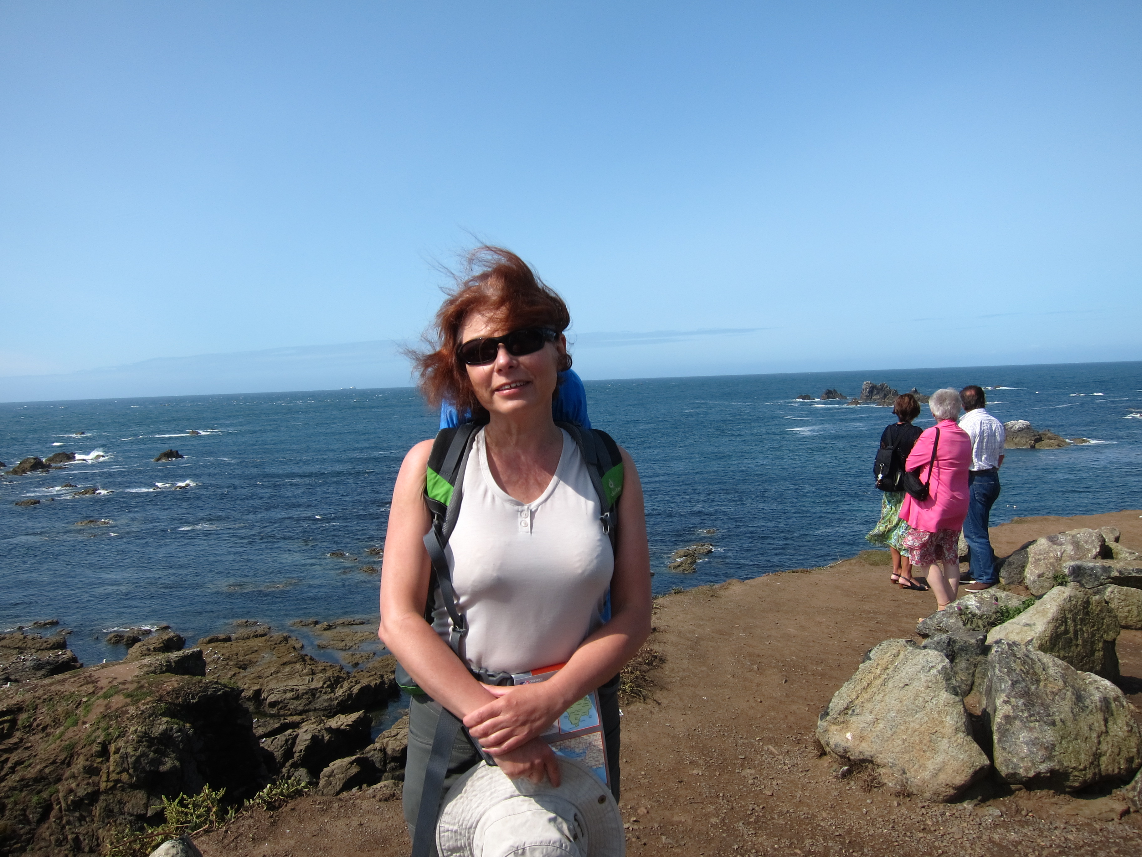
Last night, I was feeling pretty ropey. My feet are outrageously painful, although I’m not sure why. I don’t have any injuries, but my knees hurt and my feet are like balls of fire. I suggested to Chris that we get a bus to Land’s End, drop our bags and walk back and return by bus. This morning, however, things seemed better, so we took a bus to Mousehole (pro. MAW- zl). This will leave me with the Porthleven to Mousehole stretch to do, which is about 10 miles of mainly road. It seemed a bit mean to drag Chris all the way here just
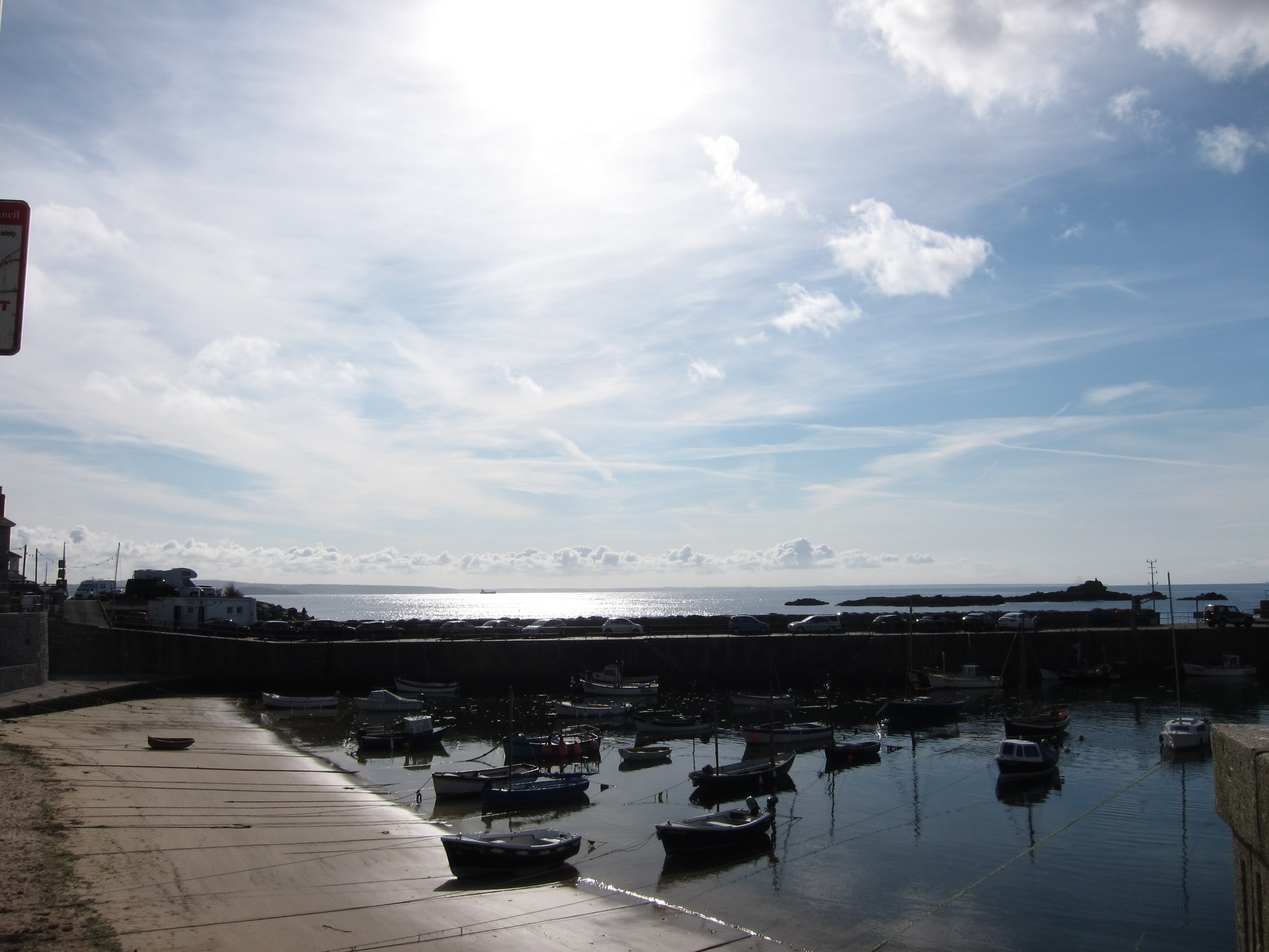
 IMG_0038for road-bashing.

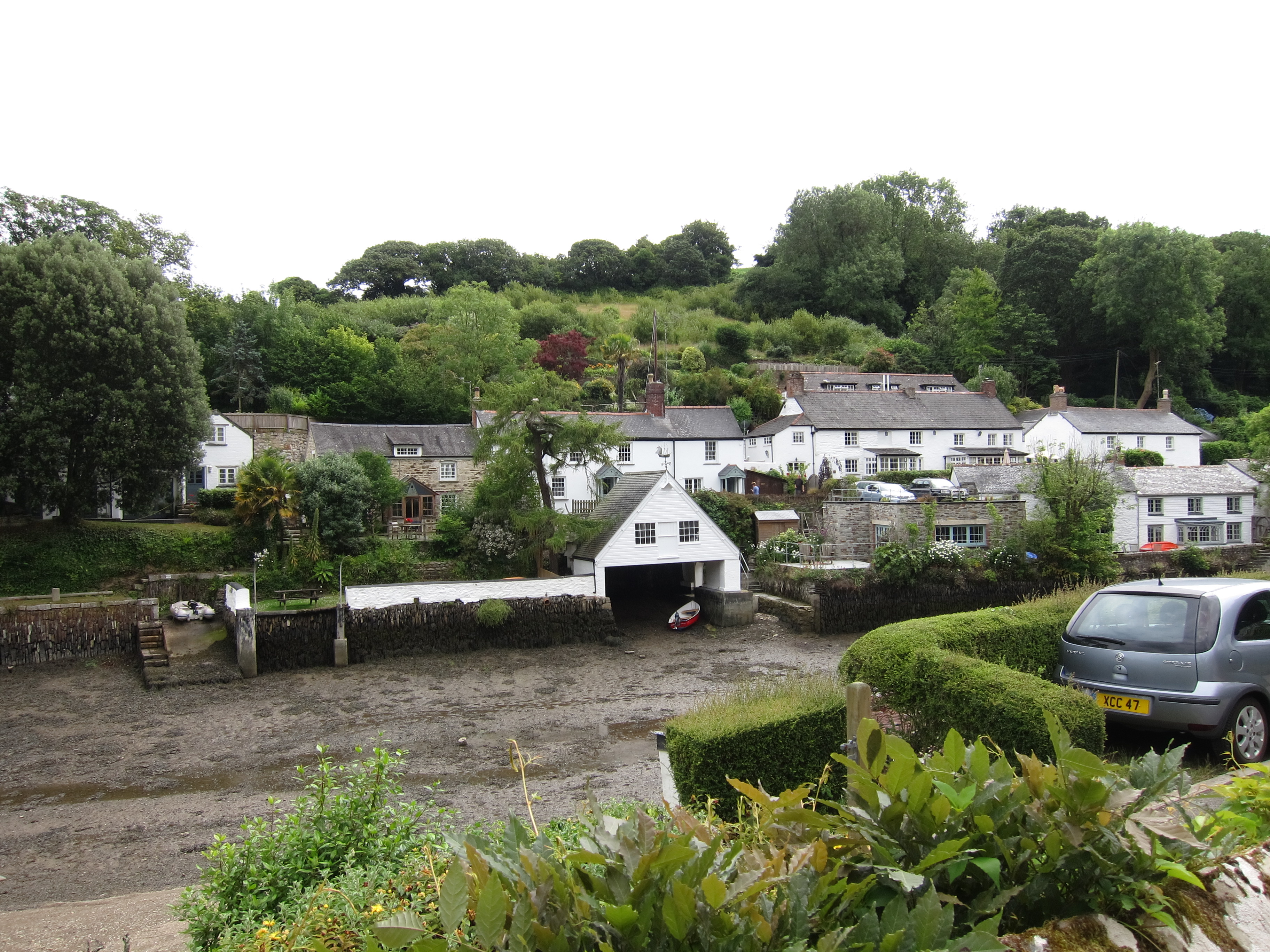
Mousehole is a delightful village. Much more real than some of the others, with proper fishing boats and actual residents, not just holiday homes. The sign posting of the route is as poor as ever.

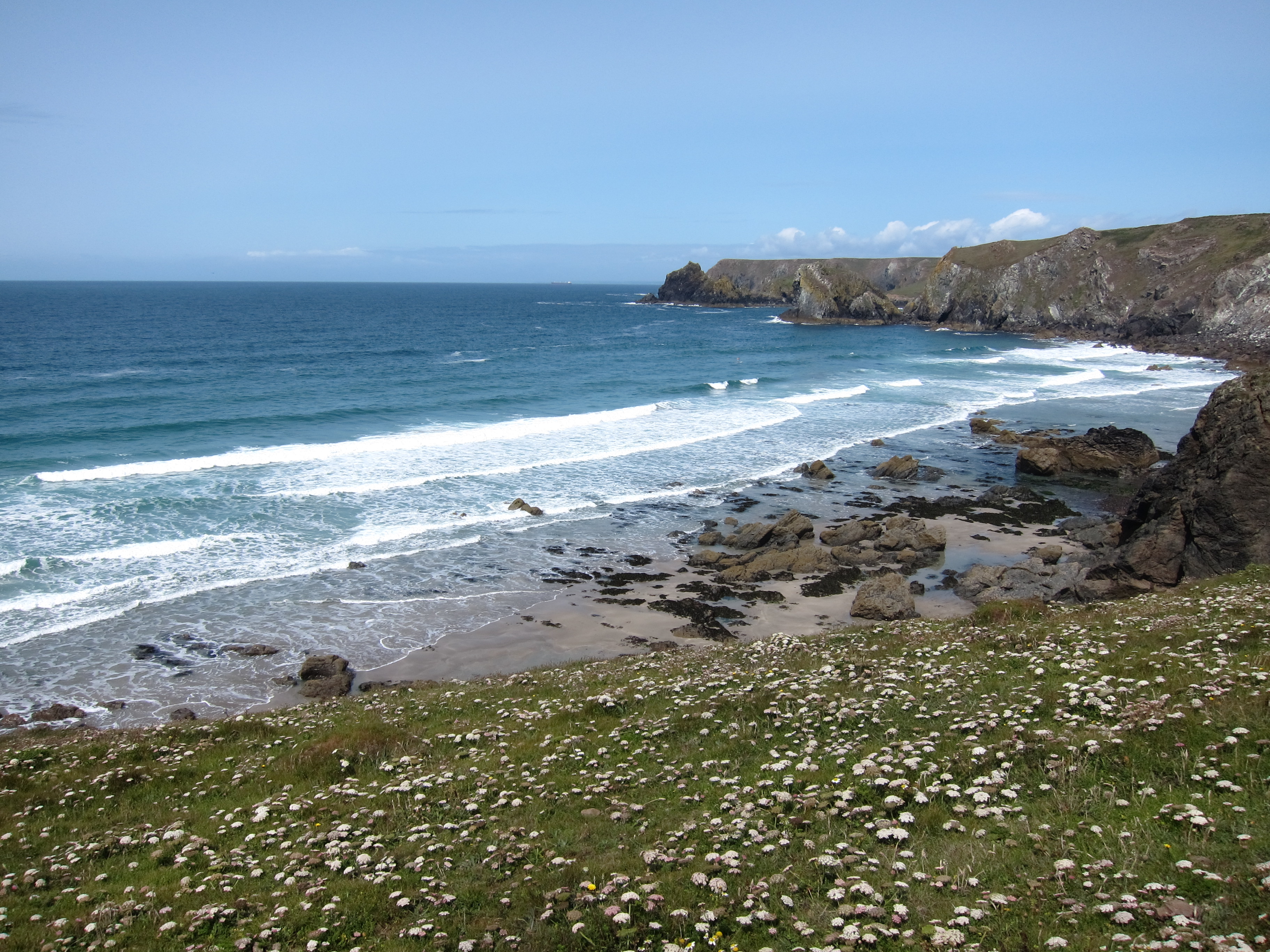
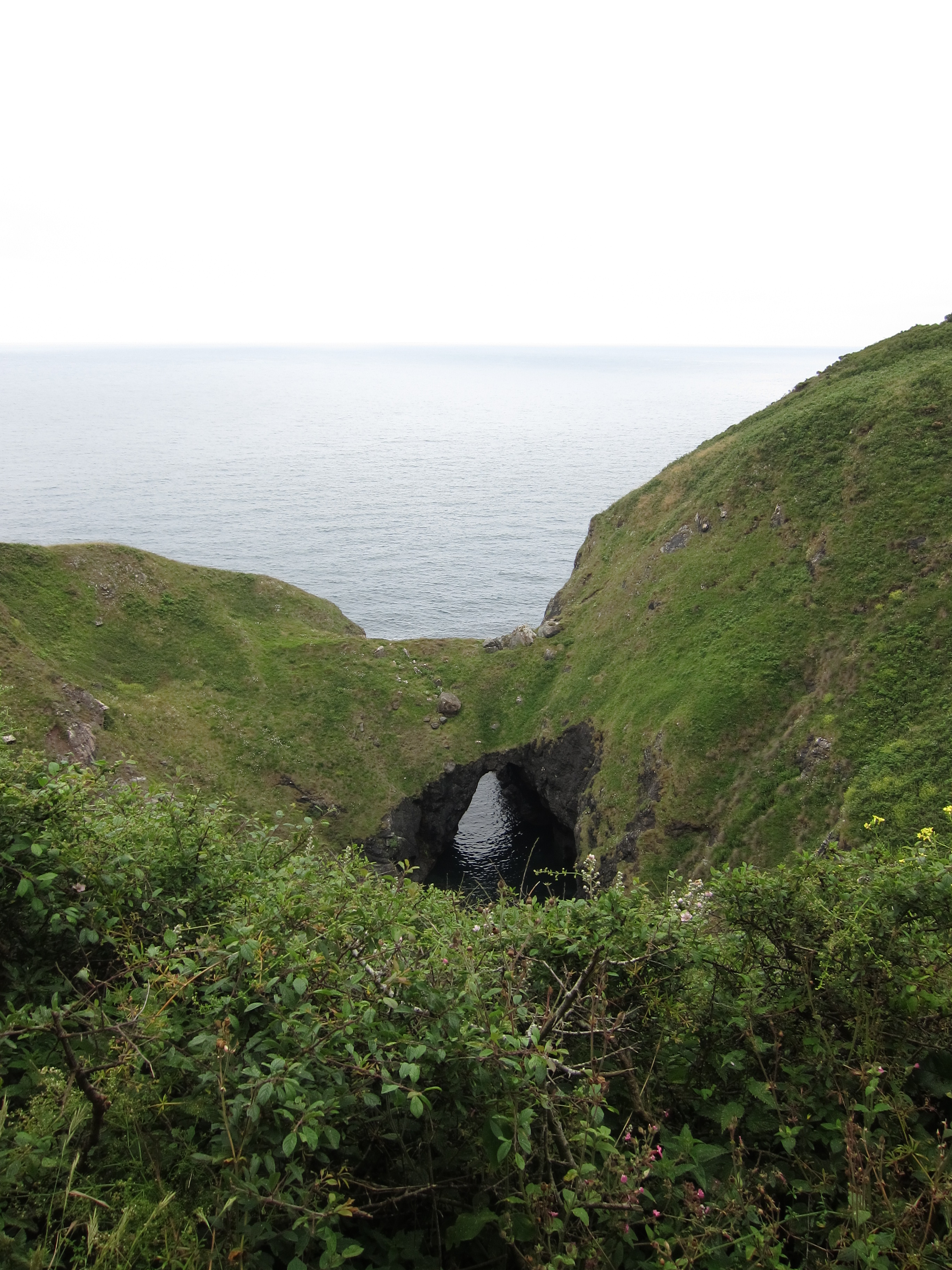
The path is tough at this point. There is some scrambling round rocks at the end of the various headlands, I am glad to have done them in good weather – it was a beautiful day. It took a couple of hours to get the 2.5 miles to Lamorna, so we rewarded ourselves with coffee and cake. There was then another tough section, lots of exposed cliff, with suggestive names, such as Coffin Rock. IMG_0053We met various people coming towards us, including a Swedish couple, both 72 who do this section off the path every year. Startlingly, she was in a bikini. And only just in that. She was busy tucking herself into the top when she heard us coming. It is hard to imagine members of the Ramblers Association being quite so free and easy!

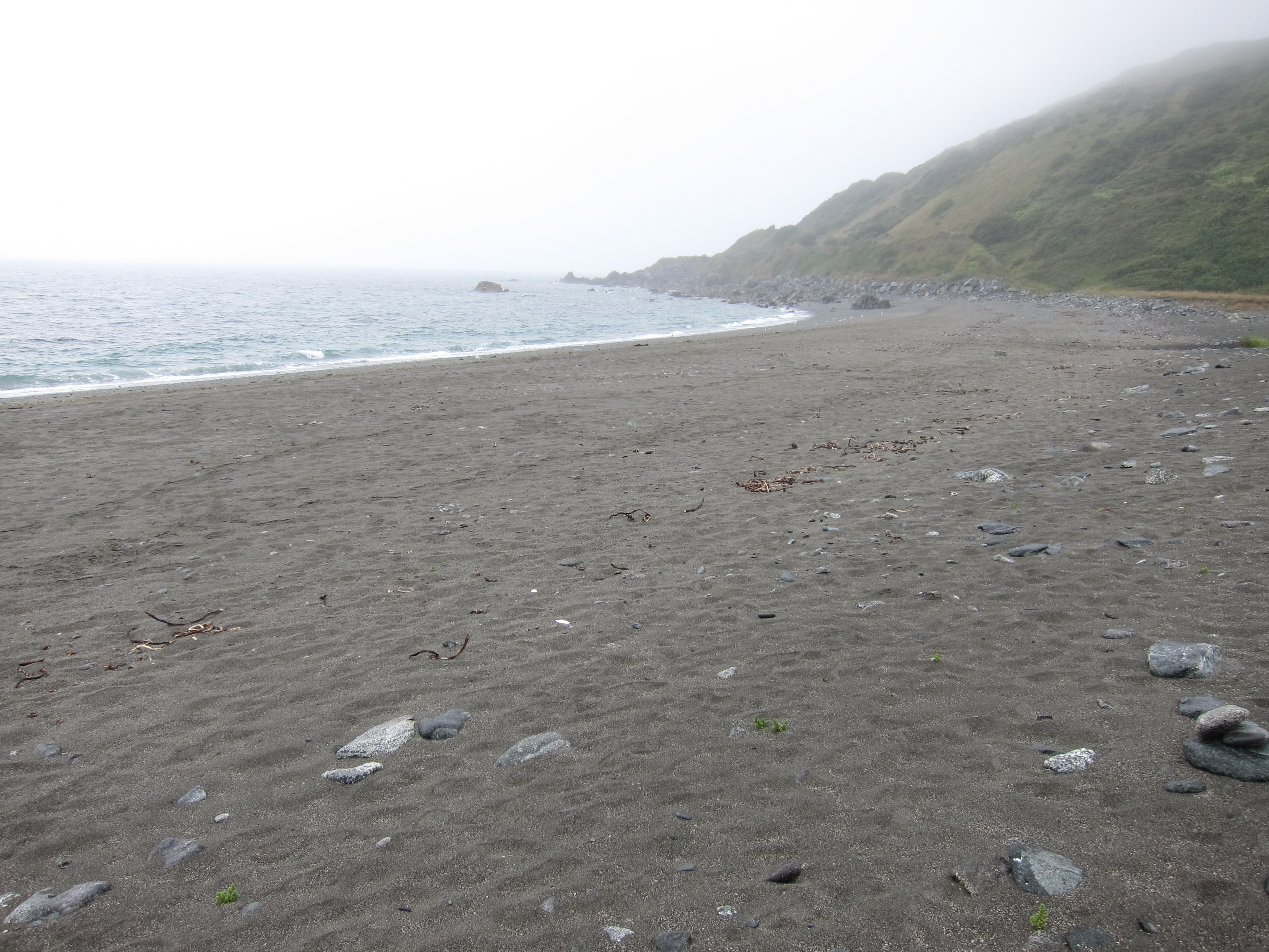
By the time we reached Porth Berth, another 5 miles, I was completely exhausted. I really don’t know what has got into me – I am never normally tired. I hope I am not sickening for something. As we rested, we chatted to some very fit looking ladies who said that the next sections were very up and down with some scrambles. I knew I couldn’t do it. We debated the merits of pub and taxi, then decided on a cross country route, flatter, across the fields. It took almost as long, as the path was frequently hidden under crops, which necessitated endless stops to look at the map but it was easier. Annoyingly, I left my large water bottle in the pub where we ate last night, so I only had a small bottle of water, which I had refilled at Lamorna. We took several false turns. Eventually, we arrived at Land’s End. IMG_0058The weather was still fabulous. We had a good meal, and Chris has gone off to his b & b (he’s come prepared to camp, but there are no pitches available. The receptionist here is fantastic. She found Chris a room , and has organised a taxi to collect my bag in the morning and ferry it to my hotel for tomorrow. I cannot contemplate walking with a full pack any more, especially as the forecast is for rain, which will make for slippery surfaces. My knees are shockingly painful as I go down steps. Hopefully, with just my wet weather gear, sweater, money and phone, I’ll be able to manage.IMG_0071

I am in the superb conservatory at the hotel, but it is already clouding over, and the sunset I was hoping for has not materialised. It is, nevertheless, rather a red-letter day, as I have reached the westernmost point in mainland Britain. I have now done the most easterly (Lowestoft), the south-eastern point (South Foreland),  and the most southerly (The Lizard the day before yesterday). Only the northern points to do – should be a doddle (!)

Advertisement

Day 68 – The Lizard to Porthleven 17th July 2015

I slept in and caught the 9.41 bus back to The Lizard. Sitting up the top, I got chatting to two other walkers – an American lady, Elaine, who was doing day walks, and a chap who stays down here periodically with his partner and does a lot of local walks. He was a mine of information. He was going back to Kennack Sands where I had tea yesterday, but she was going to Porthleven, same as me. Elaine and I walked from the bus stop to Lizard point, but her speed was quite unmatchable for me. I am never fast, and with a back pack, am quite slow. She, however, despite probably being 15 to 20 years older than me, was a power walker. She took some pictures of me at Lizard Point, then hared off. I could see her striding over the track ahead for about an hour, then I lost her.IMG_9984

Today was absolutely glorious, weather-wise. The sky was blue, and there wasn’t much wind, just a nice breeze. Within an hour, despite having factor 50 on, I had to cover up my arms and legs. The walk was along stretches of a cliff top that was so flat it was like someone had taken a knife and just sliced through the land. From time to time, there was a steep up and down into a valley. IMG_0001Even the cows were docile. I negotiated a herd of them strewn across the path by leaping into the bracken to avoid getting between calf and mother, but all seemed well.

My mood improved exponentially from yesterday, until, then, in front of me, was a black bullock, right on the path. Pleasingly, there were people coming the other way, so I thought there would be no problem. Unfortunately, something about them upset the bullock, so he called to his mates, who appeared out of nowhere and trotted smartly towards the path. The oncoming man waved his arms about and the bullock moved off. Towards me. Great. I now had five of them facing me up the path. They then turned and began to climb the narrow path ahead, which I had to follow. The lady, who despite probably being well into her 60s was exceptionally good looking, offered to go with me up the path – exceptionally kind, too. The man just rolled his eyes. She hated them, too, she said. Especially after she had been followed and shoved by a herd of twenty of them – a story she told in nerve-racking detail as she accompanied me to the stile. I hasten to add that she was armed with a pair of walking poles – I did not send her unarmed back through the bullocks to join her toe-tapping husband.

I carried on, past Mullion Cove, to Poldhu, where I had a cream tea on the beach. Poldhu is the location of the first transatlantic wireless station, which transmitted a signal (repetition of the Morse code letter ‘s’) repeatedly on 12th December, 1901, reaching Marconi in Newfoundland.IMG_0025

The weather was beginning to turn. On then to Porthleven. It wasn’t especially hard going, although more up and down than in the morning. The map showed a long beach walk, but actually the path was above the sands, which was fortunate, as the tide was in and right up to the cliffs.

I could see black clouds and ominous rumbles of thunder cracked out to sea. A squall came over, and I dived for my waterproof, but it only lasted ten minutes.IMG_0036I reached the bus stop at Porthleven around 6pm, to see the 17.54 to Penzance trundle up the hill away from me. The sun had come out again, so I sat and waited for the next bus.IMG_0037 It came in time. The whole way to Penzance (some 25 mins) was punctuated by a large lady, with flowers festooning her hair, singing folk songs. The first few songs were great: the next, pretty pleasant. After the fifteenth repetition the other passengers were getting restive, but were all too polite to say a word. I fell into conversation with a young man whose accent was so thick, I barely understood a word (except for f…, which appeared with some frequency).

Chris met me at the bus station and kindly carried my pack up to the Youth Hostel, where I thought I had a room booked, only, unfortunately, I hadn’t. I had managed , which I must say was quite a feat of internet cock-up, to book a slot in the male dorm in the YMCA instead. Fortunately, the extremely helpful receptionist at the YHA managed to sort it out, and find me a berth, before I actually panicked. The room was the usual YHA offering – hotter than hell, but fairly low grade snoring this time.

Day 67 – Porthallow to The Lizard 16th July 2015

I am sitting in the Angel Hotel, Helston. Suffice to say, that, had I been guessing, I wouldn’t have come up with that name.

I’m sorry to say that I haven’t been enjoying this trip as much as I usually do. I am not sure if it’s because I’ve tried to cover too much ground, or because the weather has been pretty miserable the last three days, or because my boots have lost their grip and I am worried about falling, or even that I’ve had one too many cow traumas…

Nevertheless, today was pretty good. I had an excellent breakfast, and only had to repack my rucksack twice as I remembered various important items such as ibuprofen and ball-of-the-foot pads were at the bottom.IMG_9950

I left around 8.20 and made good time to Porthoustock, and then Coverack, where I should have reached yesterday. The first bit was easy, and, had there been a possibility of accommodation at Porthoustock, I would have gone that far, but I am glad I didn’t attempt Coverack yesterday. Despite yesterday evening having been bright and sunny, it was mizzling again this morning and everything was slippery.

The terrain was easier than the first couple of days, although the path hugged the cliffs, and when the cloud lifted, I had some good views. There weren’t so many steep ups and downs, but my average pace was still only just 2 miles per hour. I met various walkers coming toward me, but no-one going my way – suggesting I am neither slower nor faster than most people. The coast had some interesting rock formations, including an archway. IMG_9966I reached Kennack Sands, a lovely silvery beach around 2.30 and had a very satisfactory Cornish pasty from the café. Much of this area of coast is National Trust land, and I was delighted to discover that the path is managed in this area for glow-worms. Apparently, they like long cover, so the grass is not cut back.IMG_9967

I was in two minds as to whether to press on all the way to the Lizard, or stop at the previous cove. In the event I did continue and by then I seem to have got more into my usual stride.  I covered 16 miles by 5pm, into the little settlement above the Lizard, just to see the bus to Helston sailing past me.

A rather tedious wait at the bus stop, then a white-knuckle ride through very narrow lanes, at top speed, I was sitting upstairs front and frequently had the urge to duck as we slammed into overhanging branches.

I had high hopes for Helston. It is the town that Mary Yelland comes from in Jamaica Inn and longs to return to, comparing its gentle greenness to the bleakness of Dartmoor. I guess it’s changed a bit since her day!

Day 66 – Falmouth to Porthallow – 15 July 2015

I’m sitting in a spotlessly clean room in a pub in Porthallow, which is an unexpected stop.

When I looked at my route for today, my heart sank. Just under 23 miles. What was I thinking when I planned the itinerary? Even on the flat east Coast that distance is a bit too long, and here it is close to impossible. I studied the map and found a couple of short cuts, cutting out some walking inland along one of the rivers, so I decided that if I could lop off 3 or so miles, all might be well.

The day started out in light rain again, with all of the path surfaces greasy and slippery, necessitating careful walking. My knee is sporting a bruise in every colour of the rainbow, but I don’t seem to have sustained any real damage.

The path was easy to begin with. Gentle undulations around to Swanpool, and then Maenporth. I was making good time. Up from the bare 2 miles per hour of the first couple of days to the nearly 2.5, which I needed to cover to have any hope of reaching the YHA at Coverack before dark.IMG_9935

I was plugging along nicely, admiring the sea which was calmer than yesterday, and rather more visible as the low lying cloud of the last 3 days finally cleared. I was looking at the Cornish names and comparing them to Welsh to try to translate them. I decided that Nansidwell was probably the equivalent of Nantsantidwal, and that Carrickvoil must be the equivalent of Carregfoel. Plas for a big house seems to be the same, as is mor (sea) and tre/tref, meaning settlement or place belonging to…

As I was deep in these linguistic meditations, I looked ahead and saw a herd of cattle on the horizon. No problem, I thought, having just been through a field where they hadn’t batted an eyelid. This lot looked well away from the path, minding their own business. About 500 yards ahead of me was another walker, with three dogs, two terriers and a Labrador or similar. I hope he puts those on a lead, I thought, or the cattle may start taking an interest.

I hope this was not an example of the thoughts creating the reality, because, unfortunately, that is exactly what happened. The cattle, who were young bullocks again, saw the dogs and began to moo and balloo in very threatening tones, setting off the ones in the next field as well. They began to trot towards the path in a very determined fashion. The man with the dogs was fine, he had plenty of time to get through the field before they reached him. I, on the other hand hadn’t. They caught site of me and veered in my direction.

Fortunately, I had just come through a gap in the field, with a hedge to one side. I nipped behind it smartly. Once they lose sight of you, they lose interest, I fondly told myself. However they were still mooing and harrumphing, and I did not fancy drawing attention to myself. Depressed, I turned back and took a detour round, which I could have done without as it was on the road, always unpleasant. I made good time to the Helford River crossing, arriving just after 12.30 giving me an average of nearly 2.4 miles per hour.

As it happened, the tide was so far out that the ferry couldn’t cross before 1pm, so I had a very nice Cornish vanilla ice cream whilst I waited.IMG_9938 I was the first one over, as the ferryman would only take one small person to test the water. Arriving on the south side, in the pretty village of Helford, I had a choice.IMG_9944 I could walk on the official south west coast path along the banks of the Helford river, then turn inland to cross another stream at the ford if the tide were low, or if it were not, walk at least a mile in either direction along road to the bridge; alternatively, I could assume the ford would be impassable, and strike cross country for the bridge. I decided on the latter. The path was a delightful woodland saunter , at one point along a road where there signs advising drivers to beware of swans crossing! IMG_9946The rain had finally cleared, and it was brightening up, although very humid. I consulted my map again. Coverack still looked very far away. I made the decision to see if I could find accommodation in Porthallow. If I could, I would stay there. I arrived there around 3, having covered 12.7 miles. Sitting in front of the pub (Dewotty Pymp Heren) or the Five Pilchards in English, was a row of hikers hugging beers. They informed me that the landlord had just closed for the afternoon.

I really didn’t fancy another five miles to Coverack. Happily, there was a number on the front door for anyone looking for accommodation, so I called up, and the landlord returned to let me in. So here I am. I have spent some time working out how I can change the next few days. I really can’t do the distances I planned over this terrain. I’ll aim for the Lizard lighthouse tomorrow – around 15 miles.