This should have been an easy day but was probably the most aggravating day of the whole walk so far. I am cross and exhausted. Things began badly when I parked in Abermaw and had to spend at least ten minutes trying to work out the annoying parking app before boarding the train back to Llwyngwril. Although the sausage roll I bought compensated somewhat for the frustration.
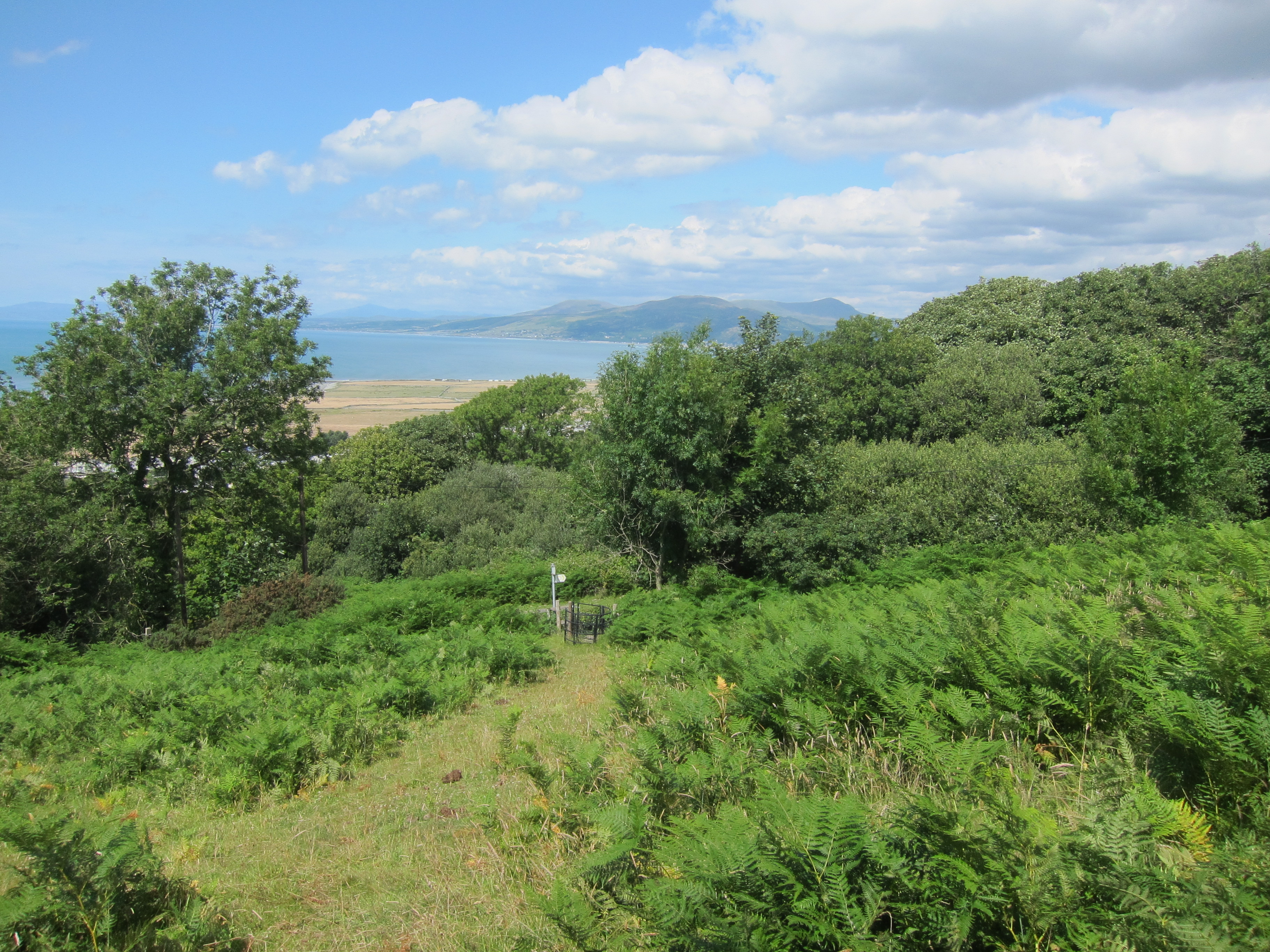
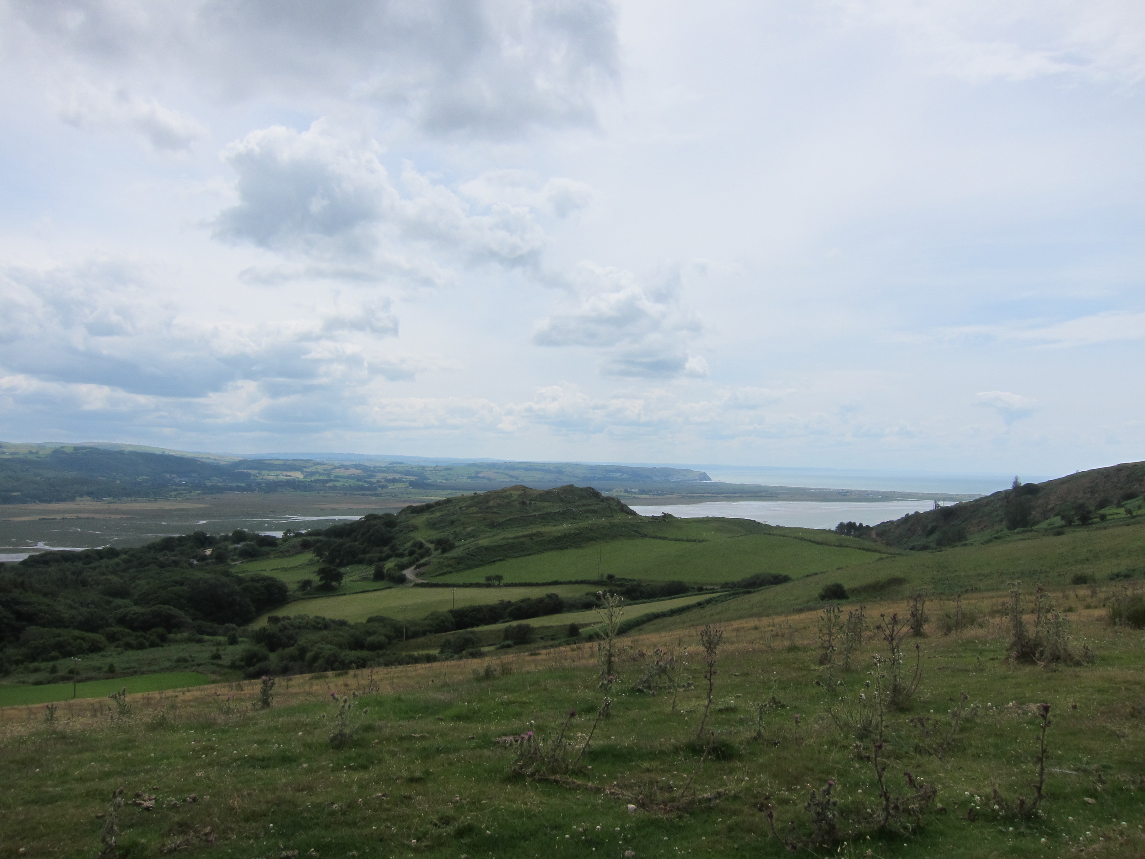
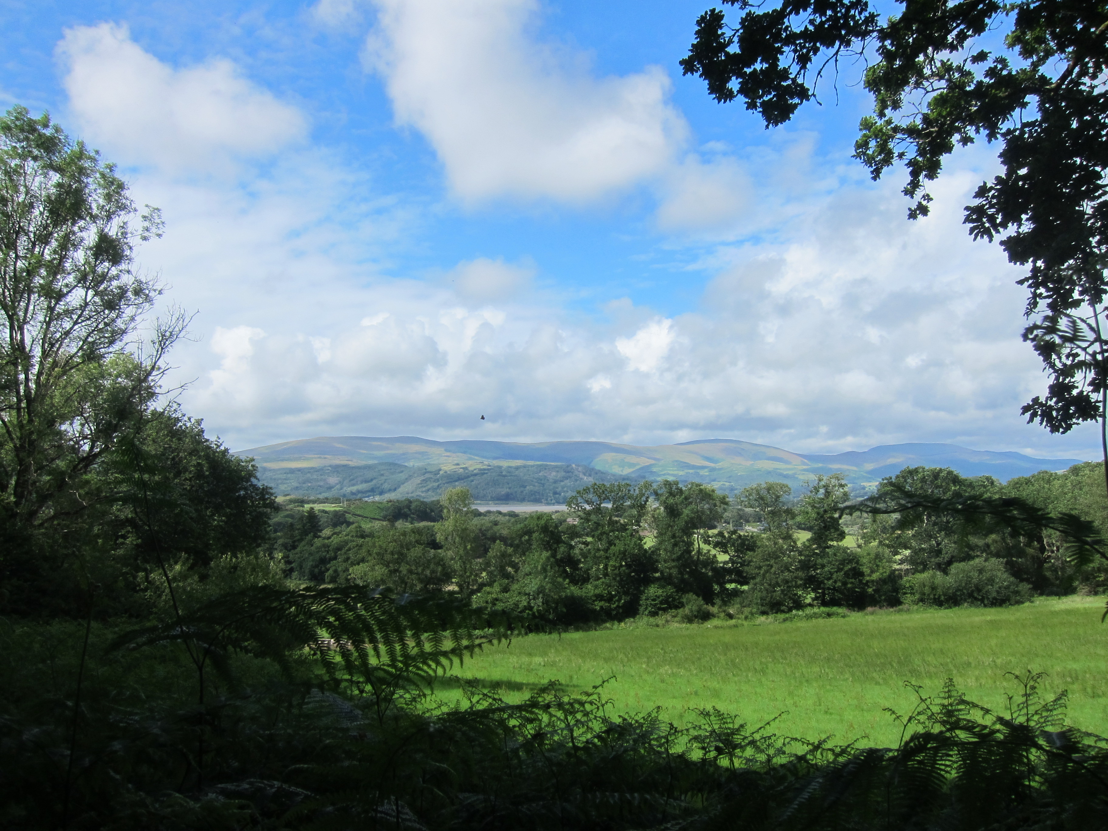
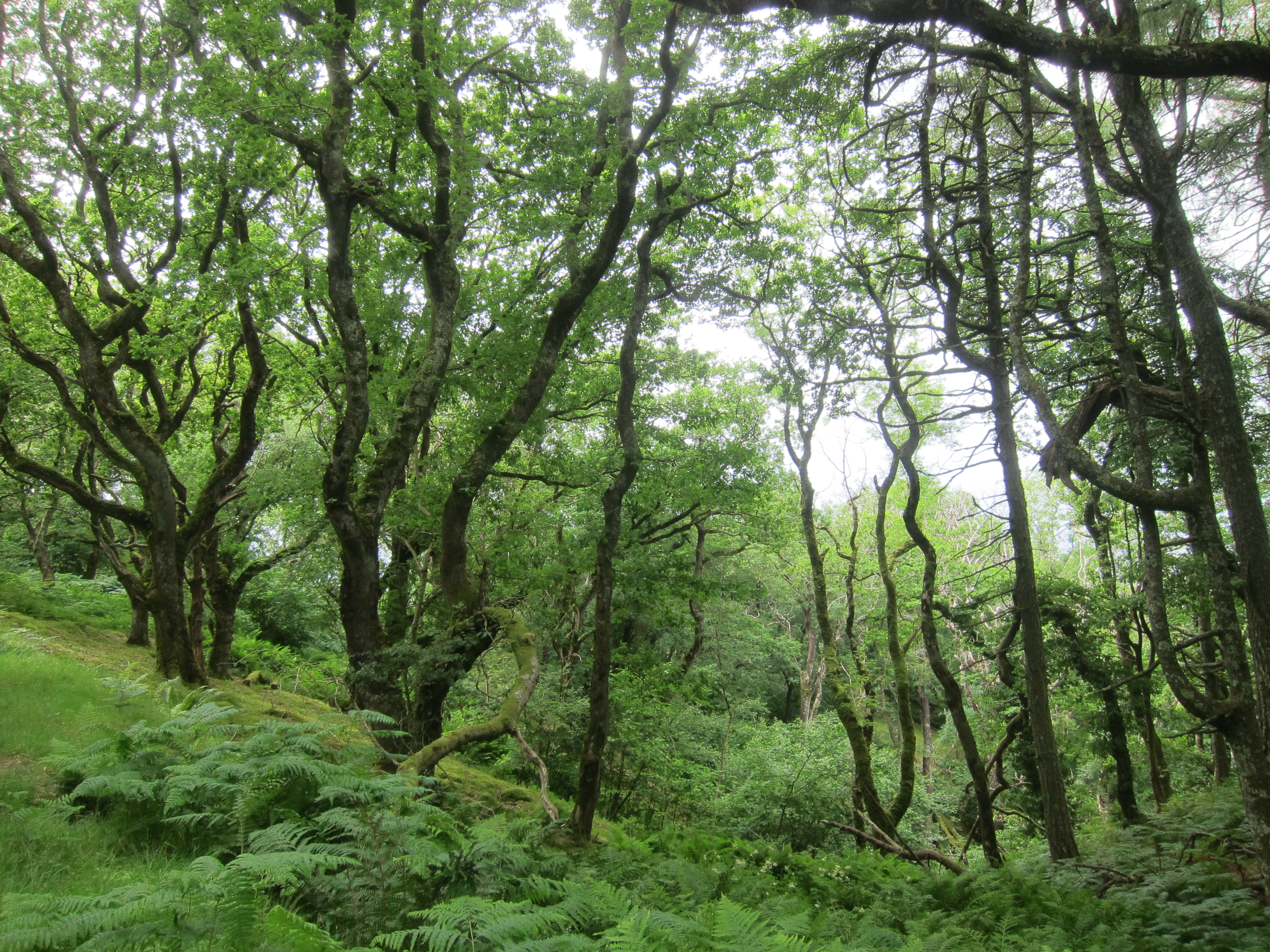
Arriving in Llwyngwril, I went through the little village, admiring the children’s art work near the school crossed the main road and went up the track, through a stile, and began climbing, looking for a path to the left. It never came. I looked at my map. I should have turned left just before the stile, but no matter, there was a parallel path which I could take, rejoining the coast path further along. Never again will I continue on the wrong track! I should have turned around immediately. This new path went beside a little deserted farm building, at which point all the path markers disappeared. I carried on, following the faint outlines of a path and eventually came out onto moorland. There was a rusty gate, through which I could see the circle of standing stones marked on the map. I clambered over it (clearly not the first to do so) and then half-walked half-slithered down the slope to find myself in a horrible bog. I dragged myself through it, weaving in and out of the worst patches of wet, but with my boots getting wetter and wetter until finally the water came in. Through the worst of the bog, I found myself in a maze of stone walls. I could see the path over the other side, but there was no way over the wall, which had barbed wire all across the top. I went around the field edges, clambering over walls and through boggy patches to get to a high point where I thought I would be able to see a route out. I could see a farm vehicle in the distance and thought that there must be a track, so I made my way towards it. Unfortunately, there was a huge ditch and another wall.
I had been wandering round in circles for nearly two hours, when I heard voices. I raced towards the wall running alongside the path and called out. As it happened, there were people approaching from both sides. I pleaded for help and one woman climbed onto the wall and bent the barbed wire fence away, while the other couple took my arms and dragged me through – it is lucky I am small, as the wiring was very tight and anyone much bigger would not have got through. As it is, I am scratched and my jacket was torn.
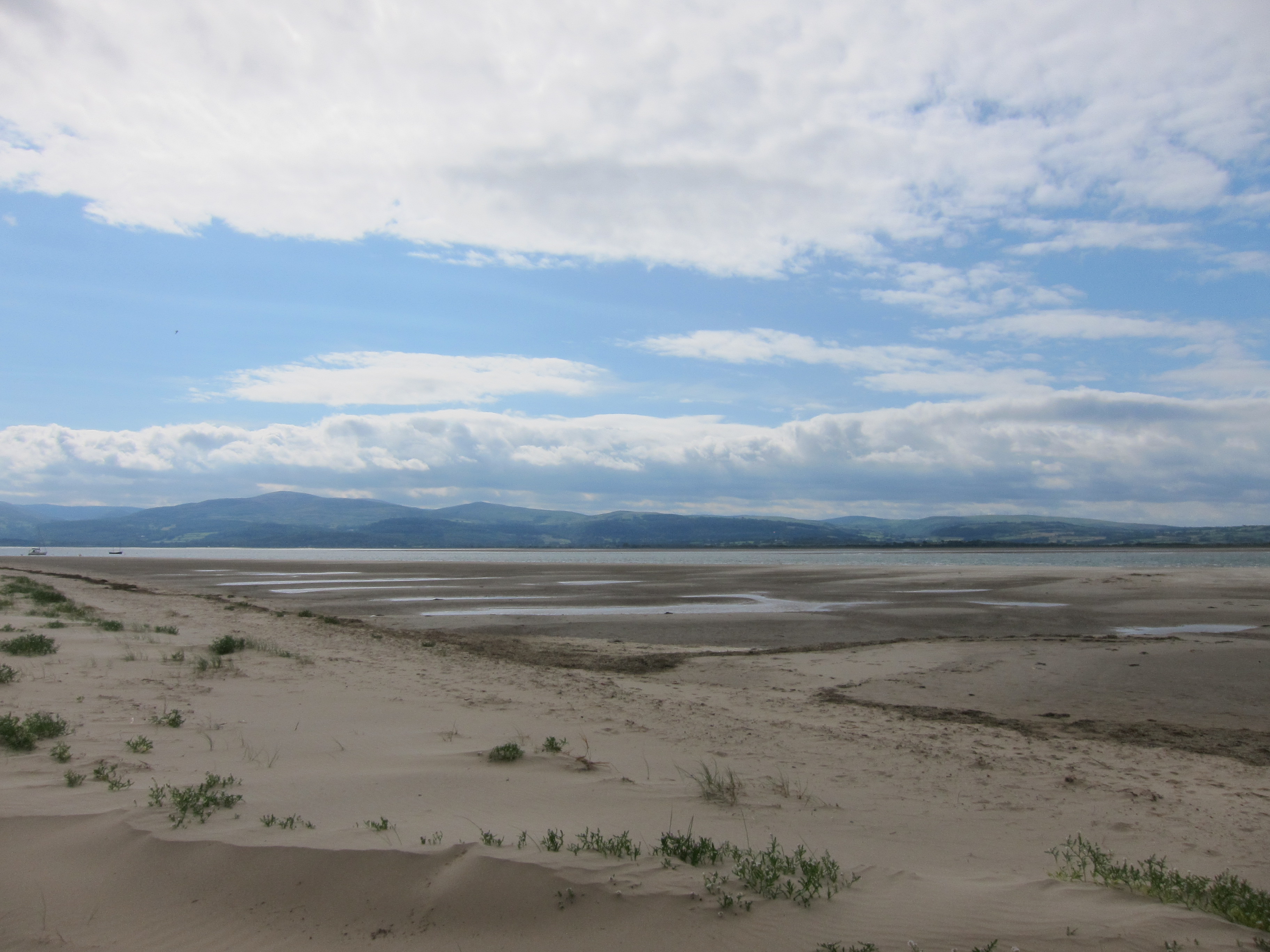
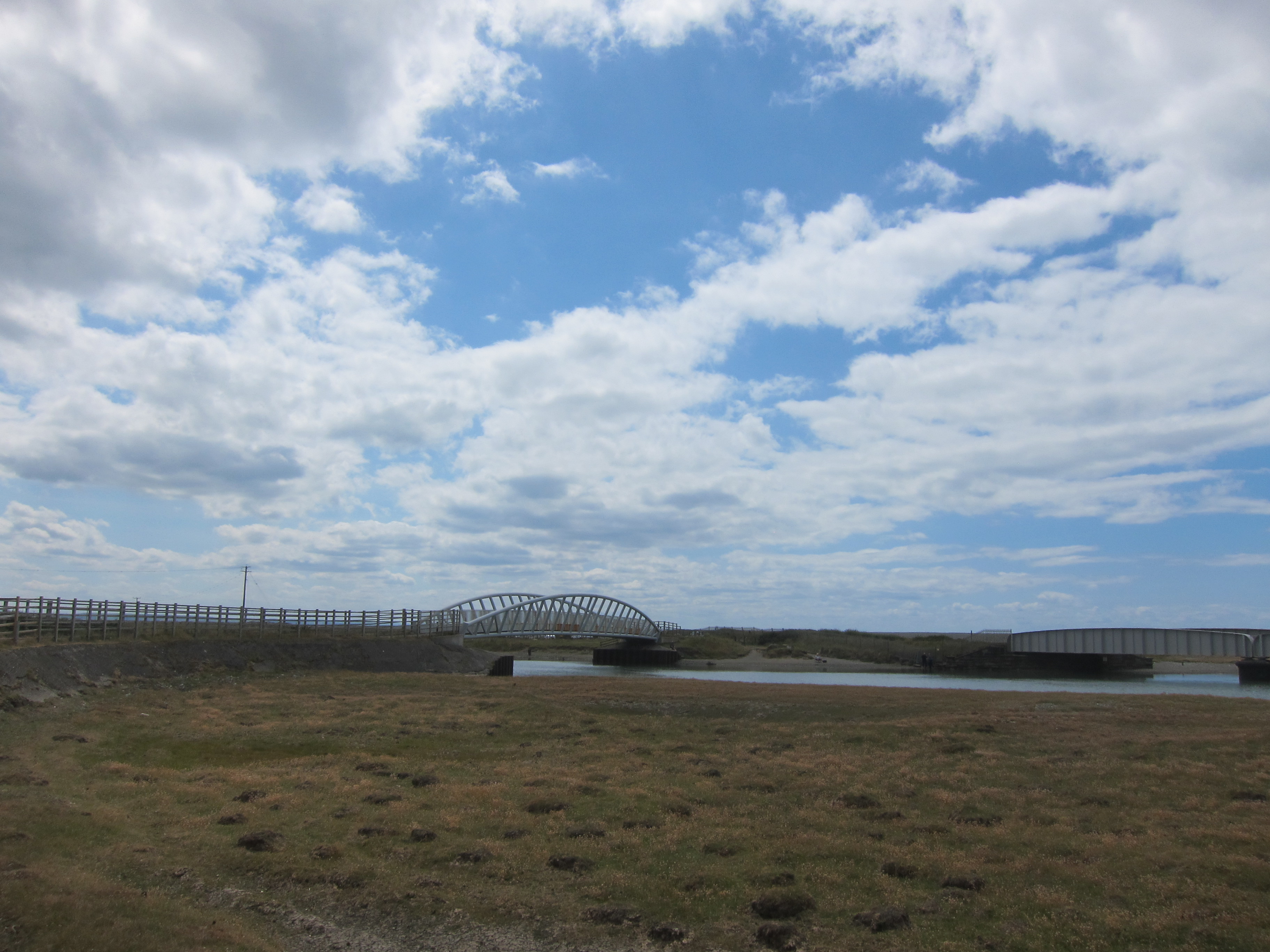
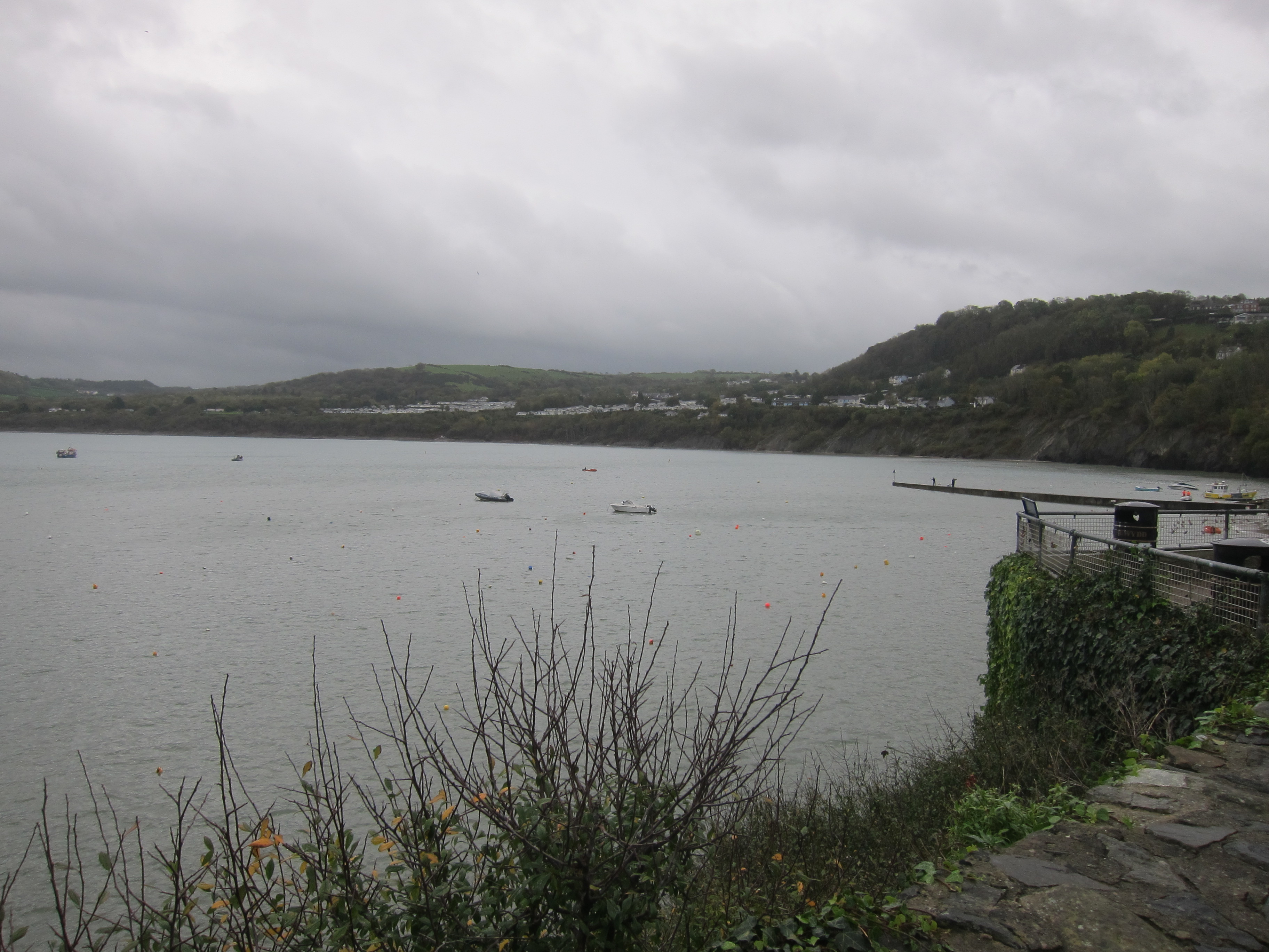
Having been deposited on the right side of the wall, I could see that the track was wide and easy, and so it continued, through woodland, and down a steep hill to the village of Fairbourne. I walked sulkily along the tarmac along the front, with the miniature railway on the inland side. The path goes slightly inland up the estuary and then over the very long railway bridge into Abermaw, but I was not in a mood to appreciate anything. The only thing to lighten the day was the fact that it did not rain. A mere 11.2 miles, mainly in circles. Definitely a lead day!