Day 65 – Portloe to Portscatho 14 July 2015

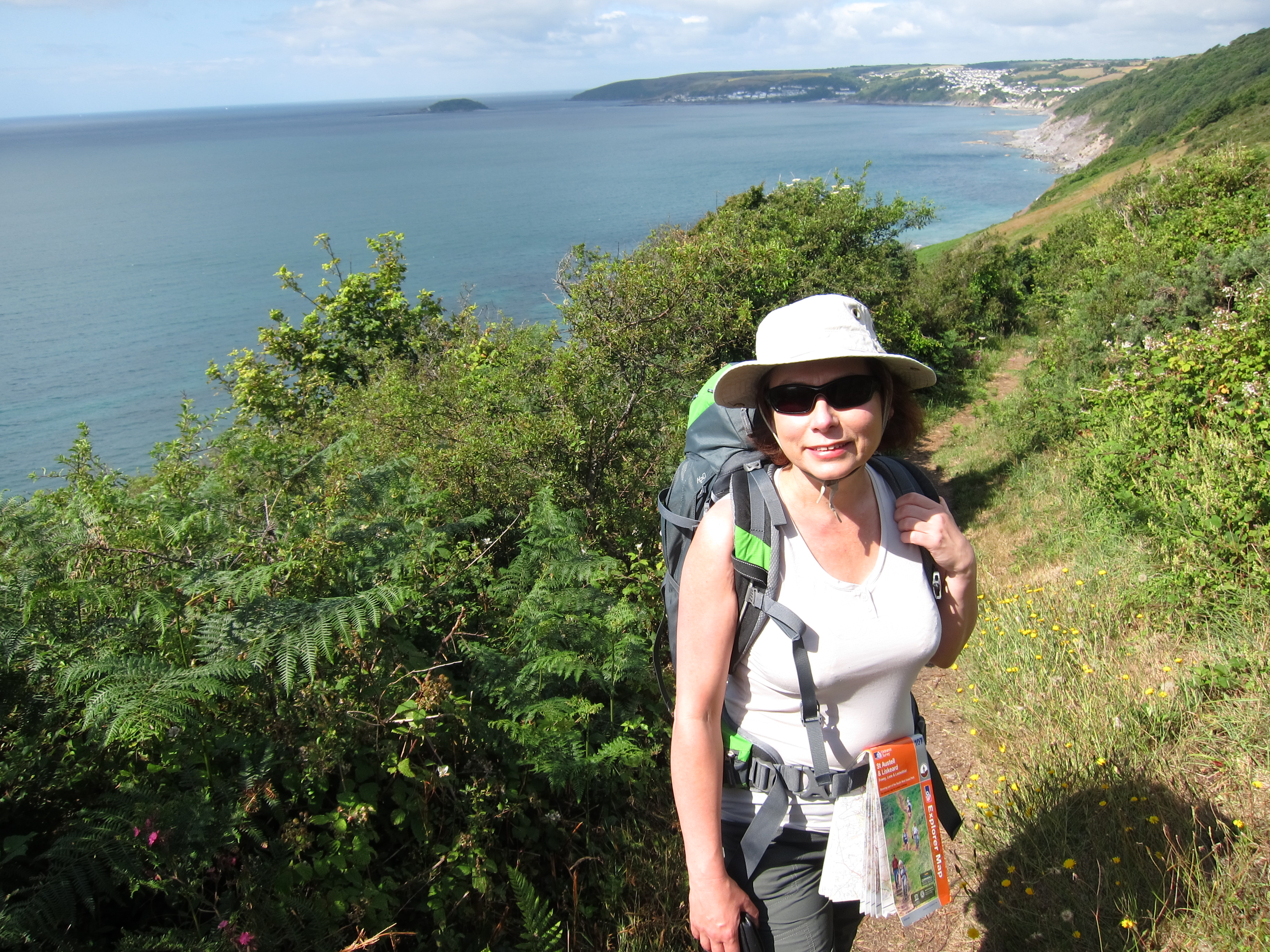
I can’t say today has been my most successful walking experience ever. The B&B Rachel and I stayed in last night was lovely – a huge Georgian house with beautifully proportioned rooms. It is a working farm so we woke at 5am to the sound of cattle.

We had arranged for Tony the Taxi to pick us up at 8.30 to drop me back at Portloe, IMG_9915and take Rachel on to St Mawes to get the ferry across to Falmouth. I was on a tight schedule to get to St Antony’s Head to take the Place Ferry to St Mawes – last one at 17.45 for last Fslmouth ferry at 18.00. Given our performance over the last few days, I needed to crack on.

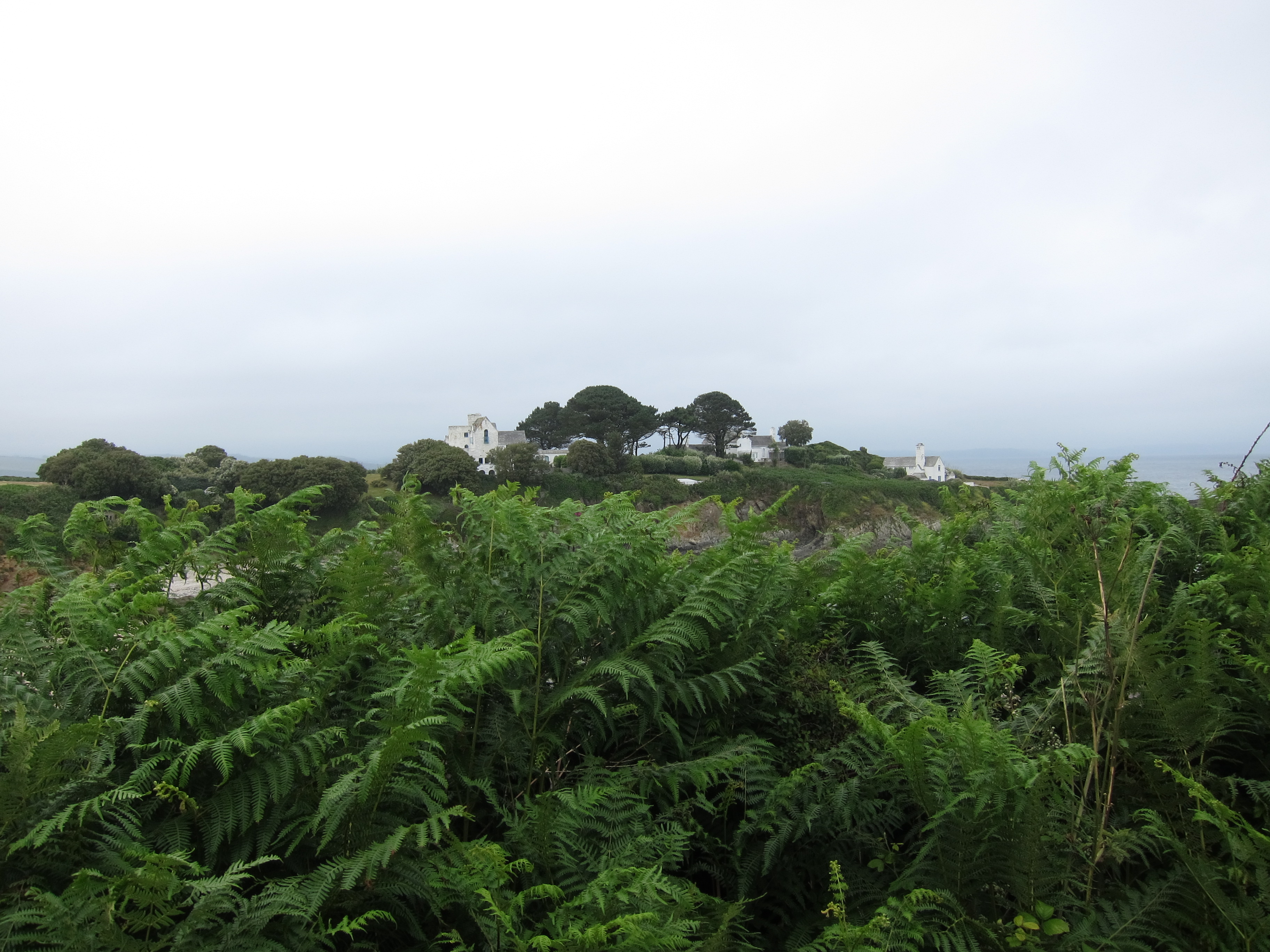
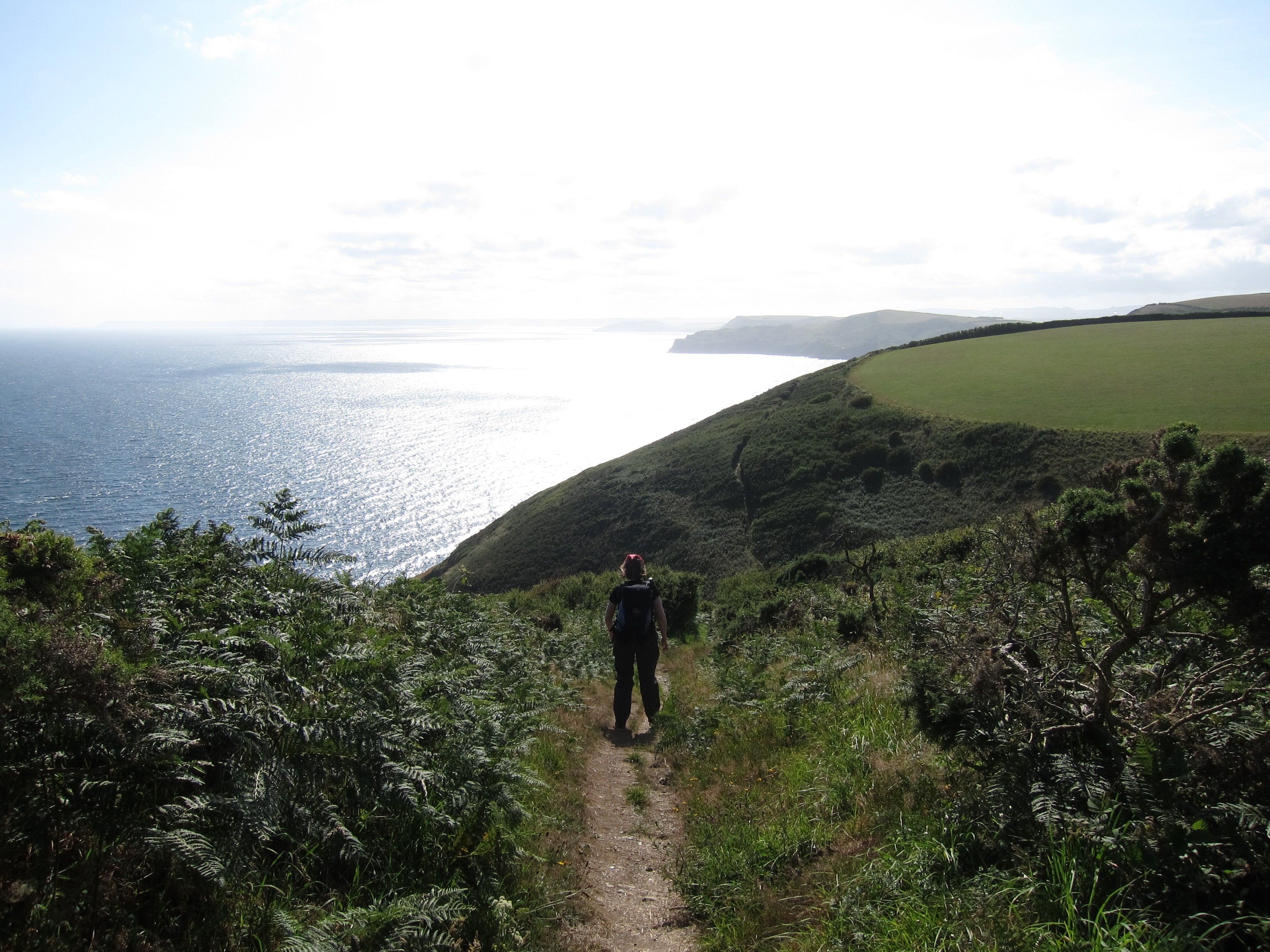
The terrain as far as Portscatho, which was just over half way, looked similar to yesterday, with much easier walking thereafter. Total planned was about 13.5 miles, same as yesterday. I set off briskly enough. The usual lack of signposting nearly took me on “dangerous unfenced cliff-path” as several signs announced. Fortunately I spotted the coast path lurking behind a hillock, so I turned my back on “dangerous” and strode off confidently. The weather was poor. Endless mizzle – not wet enough for waterproofs but making the paths greasy and hiding the view. Tony the Taxi had told me to look out for a coffee shack, called the Hidden House around one of the headlands, but, sadly, it lived up to its name, so no morning coffee.IMG_9921

I met a chap coming west to east – obviously a coast path walker. We stopped and chatted – to be honest, after ten minutes, conscious of my schedule, I was twitching to get away. I’d just said good bye when he asked how I felt about cattle.

‘I’m a little chary of them’ I replied. I’ve had a couple of bad experiences.’

‘You can’t be a walker and not have a bad experience with them. That’s the main trouble with the Southern Uplands way…’, a further few minutes on his experiences there. ‘I had to make a big detour to avoid them.’

It suddenly dawned on me that he was talking about today. I snapped to attention.

‘Really? Where?’ He pointed the field out on the map.

‘You can detour here and here. There were mothers and calves.’

I expressed some doubt as to there being calves at this season, but he assured me that, unlike sheep, cows can calve at any time. I was not convinced that his knowledge of the reproductive habits of cattle was accurate, but that wasn’t really the point.

I considered the detour he pointed out. Hmm – a long way round. I decided to go to the field edge and investigate the relative location of cows and stiles.  As I was approaching the field, I saw two other people coming toward the suspect field, from the detour path. I broke into a run to head them off at the stile. If I went through on their coat tails, I should be fine. I raced up to them and began to follow. I apologised for stalking them and explained that I had been warned the cows in that field were a bit troublesome.

‘Yes’, said the lady, nodding vigorously. ‘I met them yesterday.’

Then the man said, in German, ‘Young steers’.

‘Young bulls’ he said, to me. We agreed they could be a bit too playful.

With three of us, however, there were no problems, and I dropped down into Roseland Bay.IMG_9922

Then came a very annoying lack of signage. Three paths and no signs. I picked the right one, decided after a few hundred yards that it was the wrong one, retraced my steps. Tried a second, which soon seemed wrong, as it went too far inland, returned to the junction and was scratching my head when two American cyclists appeared. They told me that there was an acorn sign a few hundred yards up. We agreed the signage was terrible.

I was now concerned about time, so began to hurry. This was a big mistake. The path was greasy and I went down head first, or rather knee first. I fell with some force and hurt my knee and ankle. Not seriously but enough to make myself very uncomfortable. I carried on, feeling very stiff. More signage issues. Three paths with no acorn. This time I made the wrong decision. Eventually, I emerged on a road above Portscatho. I limped along, crosser and crosser, wondering if I could get a bus as my knee throbbed painfully. I contemplated phone Tony the Taxi, but, no phone signal of course.

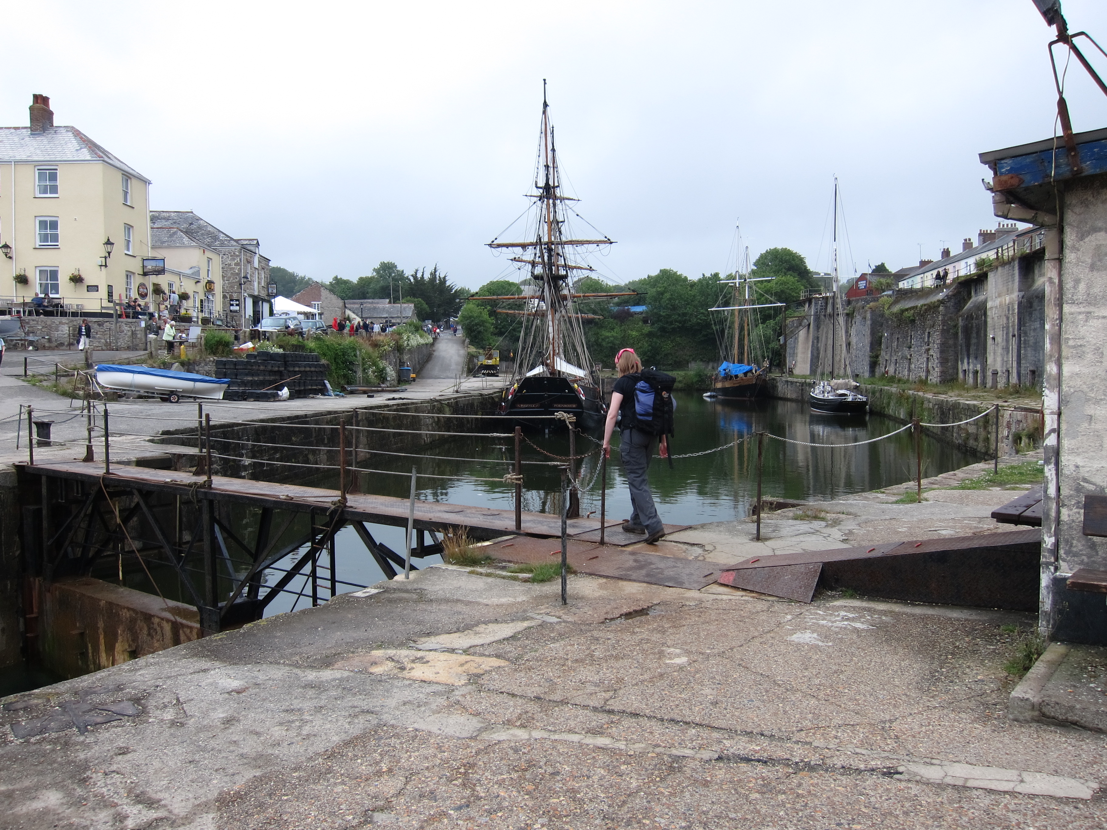
Just as I crawled into the village, I saw someone waving. Unbelievably, it was Tony Taxi himself, just emerging from a café. I leapt in to the car and he conveyed me quick smart to the ferry at St Mawes. IMG_9925Bless him, he didn’t even charge me. I took a very wet and windy trip across Falmouth Harbour. It is quite a sight – ferries, pleasure craft, yachts, all zooming in and out of Carrick Roads where the Fal, Kennal, Truro and a couple of smaller rivers converge. Apparently, Falmouth is the deepest harbour in Western Europe, and probably the third deepest in the world. IMG_9929On either side lie Henry VIII’s great fortresses at St Mawes Castle, and Pendennis Castle (one of the last royalist strongholds to fall in the Civil War.) There is some superb housing overlooking the harbour too. Heading towards my hotel, I tried to get new boots – the soles on mine have worn too much, I am not getting enough grip for the slippery surfaces. Unfortunately, I couldn’t find any to fit. Maybe in Penzance.

I arrived at my hotel, to find it is closed until at least 4pm. So, I’ve decided on late lunch/early dinner, then rest all evening. Just had an excellent risotto. Can’t have fish and chips every day…

Day 64 – Mevagissey to Portloe

Slight change of plan today. The distances over the last few days have been a bit too much, so we have rescheduled a bit. Today, we cut it down to 13.5 miles, which, to be honest was plenty. My feet are very achey and Rachel’s knee is twinging. When we left Mevagissey this morning, at about 10am, the weather was overcast and a bit soft, but nothing too serious.IMG_9892 Climbing out of the town, we could see the lighthouse we missed yesterday coming out of Fowey. The first headland had a very interesting looking house. Part of it certainly looked mediaeval. It was at Bodrugan’s leap. I shall look into that as the Bodrugans of Cornwall are in my family tree – maybe one of my ancestors leapt off the headland rather than be caught by the revenue man…It looked ideal for running a cargo of brandy!IMG_9897 The ups and downs weren’t quite so extreme today, but there were plenty of them. Thankfully, there were no route confusions. The first stop was Gorran Haven, a very typical little town, not quite so dolled up as some of them. There was a tiny Chapel of Ease, dedicated to St Just. Apparently it has been there for 1400 years (although it spent some time as a fishmarket in the nineteenth century). Quite amazing to think of some ancient Celtic saint living there with the sound of the sea. We contemplated that as we ate cake and coffee.IMG_9901 The other big excitement of the day was the pod of what we took to be porpoises but were late informed were bottle-nosed dolphins. We spotted them around 300 yards out from the shore. We were high up on the cliff and could see them playing in the waves. They moved quite fast – definitely faster than us! Apparently there are about ten resident pods of some 50-100 individuals who live in Cornish waters. They are around 8 – 12ft long. We passed Caerhayes castle – then had what the sign claimed was only another 2.25 miles to do but it seemed much more. Each time we rounded a headland thinking ‘this must be it’, there was another headland behind with no sign of the town. Experienced hill walkers will have come across the false summit – in Cornwall, there are false headlands. A mere deviation from the horizontal on the map turns out to be a huge headland on the ground.IMG_9908 Finally, we arrived at Portloe. The first place we saw was a restaurant named the Lugger. The receptionist informed us that they were not serving dinner. The unspoken words ‘to ragamuffins like you’ hovered on the air. She thought the pub might be able to accommodate us, and indeed it did. A very nice meal indeed. Then, because the last bus had sailed past as we walked into the town, a short taxi ride to our very nice B & B.IMG_9914 Another good Cornish name – Trewithian. I am thrilled to see so many Cornish house names – many of them identical or very close to Welsh – Pencarreg, Gwel-mor, Mordros, Chy-an-haf (assuming the meanings are the same as Welsh, they are Summit-stone, Sea-view, Over-the-sea and Summer House). Tomorrow, I will go back to Portloe and Rachel will go on to catch her train from Falmouth.

Day 63 – Fowey to Mevagissey – 12th July 2015

Our B & B in Fowey was very quaint, apparently one of the oldest buildings in the town, dating from 1430, but our morning peace was somewhat disturbed by the seagulls who were up and about at 4am. We left Fowey about 9.45 – there didn’t seem much point in hurrying as it was raining. The path climbs out of the town, but here, as elsewhere it is very poorly signposted.

We hummed and hawed at an unmarked fork. A young Swede or German rushed past, saying he was sure it was the right hand fork, so we followed him. After a quarter of a mile, he came rushing back – no, it was the other fork. For a couple of hours we could see him zooming over the headlands to the west. I presume he is at Land’s End by now! After walking for an hour or so we came to the most gorgeous house, hidden in a cove. It was absolutely the perfect house – it even had its own duck pond.

IMG_9875At the next junction the map and the signage disagreed. We decided to follow the signs, thinking that the path may have been diverted since the map was printed. It ended, however, with us missing a walk up to the light-house that we could see coming out of Fowey, and hitting a road instead. However, as it was still raining, there would not have been much to see. We came to another little cove, this one had a coffee stall, and a sailing school, so we sat in the rain and had a cuppa. The stall man was very helpful and explained that the map gave a false impression of the path at Par Sands. He gave us detailed instructions on how to negotiate the caravan park and the kaolin works. Whilst we were drinking our coffee, we watched a group of teenagers having a lesson in managing a dinghy. I began to feel faintly sea-sick watching them. We climbed another cliff, then dropped down into the dunes behind Par Sands.

On the edge of the beach were two little gazebo things, housing the Par Sands Carnival Committee. They were hoping to raise money for the Carnival by selling hot-dogs etc at the planned raft race (which it appeared might be cancelled, or perhaps had already been cancelled, or might perhaps be back on if the wind changed. No-one seemed to mind.) They kindly let us leave our bags and boots under the shelter whilst we paddled. We must have looked a bit bizarre – paddling in our rain gear. We then consumed a couple of excellent fresh hot dogs.IMG_9880

Along the grey sands of the beach, then through the caravan park, onto the road through the town, and round the Works. Our B & B called to say they wanted to go out. It was no problem to us as we were unlikely to arrive before about 7pm. Around 3.45 we came to the port of Charlestown (Porth Meur). This was developed from the original hamlet of West Porthmear in the late 18th century by the local squire, Charles Rashleigh. The purpose was to transport the huge amounts of, first, copper, and then china clay coming out of the Cornish mines. The last exports left in 2000, as the port is not deep enough for modern shipping. Pleasing to our eyes, was the sight of the pub, and even more pleasing was the sign advertising Prosecco Cream Teas. We took advantage of this excellent combination of food and drink, not leaving until about 4.30. IMG_9883Unfortunately, that had a bit of a knock on effect and progress was slow. We got hopelessly lost at a place called Trenarren, although not so lost as another group of people who several times set out on different paths, only to re-emerge where they started, like actors in a farce. Eventually, we found the right route (no thanks to the sign-posting) and, after some punishing ups and downs between headlands, arrived at Pentewan, the town prior to Mevagissey.IMG_9887 We stopped for ten minutes, which was a mistake, as Rachel’s foot began to play up as soon as she put her boots back on. The last mile and a half into Mevagissey along the tarmac was rather miserable. We have been cheered both by our supper, in the local Indian, and by our excellent B & B (see review). Although we’ve done under 14 miles, it has been a tough day.

Day 62 – Downderry to Fowey 11th July 2015

Our hotel was very good – always great to stay in a pub, you only have to crawl upstairs after dinner, and it was splendid having breakfast overlooking the sea. We set off around 9.45am IMG_9833and made excellent time to Seaton. After Rachel’s knee problems yesterday, she was a bit concerned about whether she could walk today, but fortunately all was all. At Seaton, which is a tiny little cove, we stopped to paddle. It was gorgeous, the water was icey, but clear – turquoise on silver sand. We paddled around, cooling our feet, then had a proper ice cream. My first Cornish vanilla! We hadn’t eaten or drunk enough yesterday so were determined to make up for it today.

 The walk was a series of ups and downs, mostly steep, occasionally gentle. We reached Looe in very good time – a very pretty seaside town full of holiday makers. We stopped to collect a Cornish pasty for emergencies. Over the bridge, then a long climb back up to the tops of the cliff. Then down. Then up. And so on. About 4pm, we reached Polperro – another little gem. Polperro is a Village Trust and seemed to be thriving. We stopped for a really excellent cream, having spent part of the morning arguing over whether plain or fruit scones were best, and whether the jam or the cream should go on first (obviously, the jam goes on first!). The tea shop, next to the little museum, was able to cater for both our tastes.IMG_9854

The sign post said Polruan 6.5 miles, which didn’t seem far, but it was a very long haul. More vertiginous ups and downs. We were rewarded by looking back and seeing how far we had come since yesterday and also, excitingly by a rare sight. We heard rustling in the undergrowth and first one, then a second, badger emerged and scuttled along the path – a rare sight indeed. We then stopped for what Rachel christened her ‘pasty of happiness’. A very high quality pasty indeed. IMG_9861After that, the day seemed to drag a bit – the alleged 6.5 miles seemed like 10. At one point, the path split, but there was no indication of the route to take. The map clearly showed the left fork as the coast path, going round a headland, so we took that, but as we rounded it, the side fell away, and it was unclear which of several narrow tracks we should take, After an ascent that was not that pleasing, we finally reached a broader path, to discover barbed wire which had clearly been torn down by previous lost walkers. Unfortunately, I tripped on it and came down hard into a bramble patch. I am now sporting a bruised and cut leg, and hoping I won’t have a black eye tomorrow.IMG_9859 As if physical injury were not enough, our ears were then assailed by the most appallingly loud music emanating from the beach below. Bad rap at what sounded like 120 decibels. We were starting to lose our senses of humour, not helped by a punishing staircase climb, then a steep drop and steep climb up. Looking up the second climb, I had been aware of movement for a considerable time, near the top of the hill. Rachel assured me it was not a herd of cows blocking the way, and it eventually resolved itself into two men. One, a young walker, apparently looking for a camp site, and the other an extremely weathered farmer, who looked, and sounded, like an extra from Poldark. We concluded he had been paid by the Cornish Tourist Board to add local colour. He talked and talked, and the Camper was looking increasingly harassed as he heard that Mr TrePol/Penn/Trelawney had never been away from Cornwall and couldn’t see any reason to do so. Camper was beginning to look as though he might never be able to leave either. We took advantage of a pause for breath to break free, leaving Camper to throw despairing glances after us. We then crossed several fields, before toiling with burning feet down a very steep road into Polruan, where we caught the ferry across to Fowey, and, filthy as we were, ate my birthday dinner in one of its nicest restaurants.

Day 61 – Plymouth to Downerry – 10th July, 2015

Today has been a great day, although, at just over 20 miles, a bit too long. We were lucky to get here at all as yesterday there was both a tube and a rail strike and our planned train was cancelled. The only way to get here was to walk from King’s cross to Paddington, in my case, and Finsbury Park to Paddington, in Rachel’s, then make a run for the Plymouth train as soon as it was announced to try to get ahead of the two trainloads of people crammed into a single train with fewer carriages than usual. There were some very unhappy punters!

In the end, all worked out well and we got to our charming little guest house on the outskirts of Plymouth just before midnight. Following a very substantial breakfast, we took the bus into the city centre, and picked up the coast path not far from where I left it with Vicki nearly two years ago (can’t believe it is that long since I was on this side of the country!)

We walked along the Hoe, pausing to take in the enormous memorial to the fallen of the Royal Navy in both World Wars, and then past the lovely eighteenth century housing. IMG_9737There is still a very large and elegant stone barracks to admire. We caught the 11.15 Cremyll ferry across Plymouth Sound, which was full of pleasure craft as well as more serious looking boats, to Mount Edgcumbe. We stopped for a coffee in the very attractive Edgecumbe Arms pub, then followed the path though the really beautiful woodlands that fringe the estate on the seaward side, pausing to admire the view, and the multifarious follies.

Mount Edgecumbe is home to one of the biggest camellia collections in the country, but, sadly, they have all finished blooming now. The day was perfect – sunny, clear, with a light warm breeze, but not too hot. Unfortunately my pack is too heavy…I have not carried a pack for a 12 day trip, and although I have pared it down and can still fit it into 26 litres, it seemed weighty. It has been a while since either of us has done much walking – my last coast walk joint was back in February although I had a couple of days in the Lake District recently, and Rachel has dished her knee, so we took it pretty gently.IMG_9768

The sea glistened to our left as the path gently undulated through woods and on the edge of fields.

Our first landmark was the tiny chapel at Rame Head, visible for miles in both directions, and mentioned in the shanty, ‘Spanish Ladies’ as one of the places the sailors recognise on their return home. IMG_9807I had to double black to find my camera case which I had dropped, and caught Rachel up to find her listening to the Wimbledon men’s semi-final. After a short, not entirely intentional detour to the Rame Head life boat station, and a very confused scramble through a field full of brambles, the whole thing became fairly plain sailing. The path is broad, and easy at this point, and we ambled long, the silence punctuated by Rachel giving me updates from the tennis – apparently one of the best matches ever played by Federer. On one of the few narrow points, we ran into some Dartmoor ponies, who completely blocked the path, and refused to move, even when nudged by the end of Rachel’s walking pole. Eventually, we had to climb past them, hoping they wouldn’t take fright and kick.

The path led throughout the firing range at Tregantle, where we were thrilled to see a stoat actually mesmerising a small bird. We watched as the two creatures stared at each other, wondering why the bird didn’t just fly away. The stoat got closer, but I’m afraid we interfered with the course of nature by making a noise. The bird immediately came to its senses and flew off. There was nothing else to be seen at the barracks other than a rather good looking young man emptying the water out of an inflatable dinghy and pulling determinedly on the outboard. As the boat was at least half a mile from the sea, and not even on a trailer, I couldn’t really see the point of running the engine. Perhaps it was to confuse the enemy…

We thought a detour to a fish and chip shop in Port Wrinkle would be a good plan, as it was getting quite late and we were starving, but unfortunately the only café was closed. Downderry was a further 2.5 miles up the steepest slope of the day. A sudden squall meant a scramble for waterproofs – no sooner on than the sun was shining. Rachel’s knee was causing a bit of bother, so mindful of the fact that the pub might stop serving food at nine, I raced on ahead to get our orders in – not a moment too soon. We are staying at the Inn on the Shore and I am just heading to bed after an excellent supper.