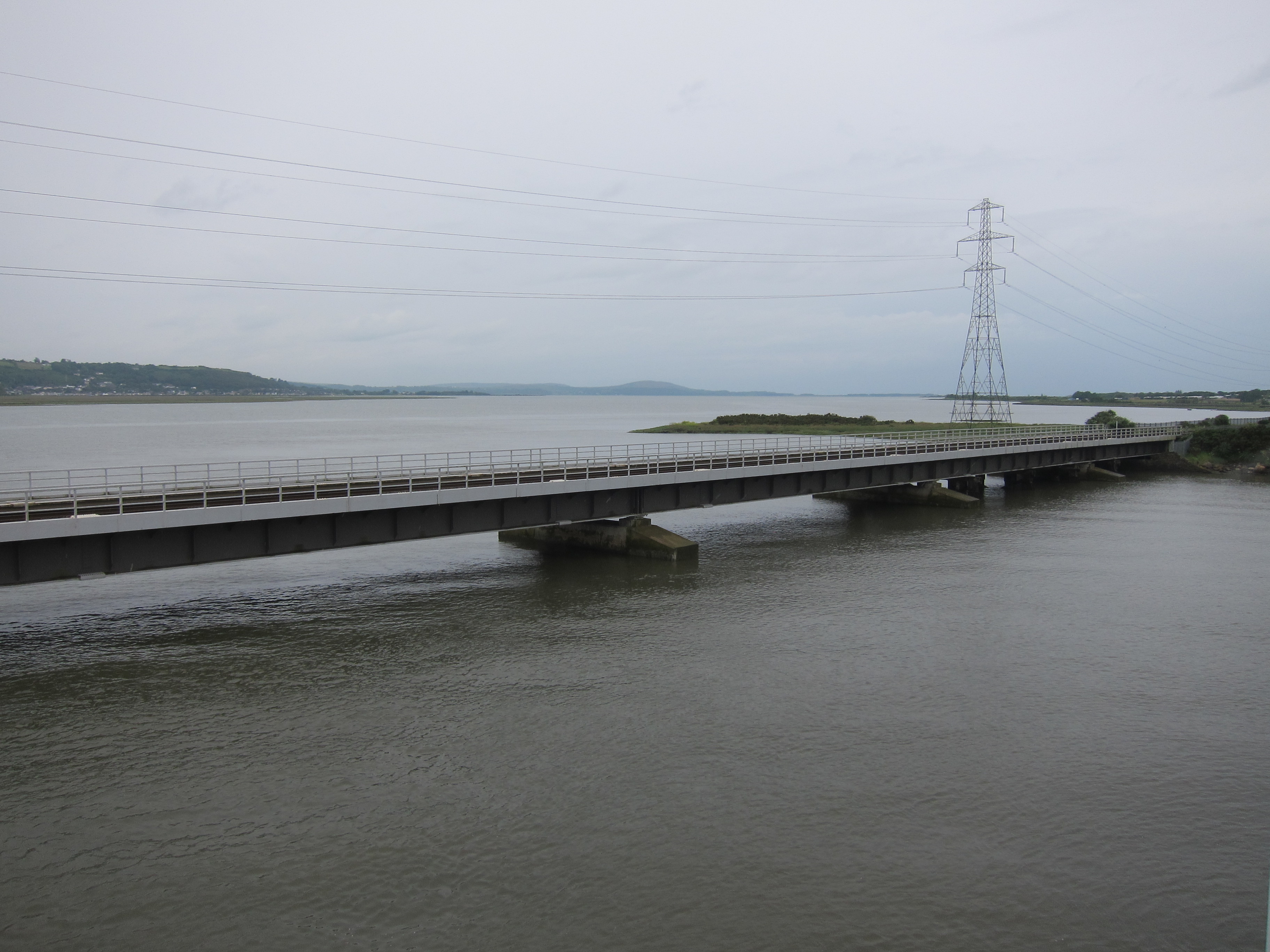
Today has been superb! I left about 8.30 (with ominous noises from my car, which has been playing up lately – I think it needs a new starter motor 😦 ) I drove to Aberdyfi, which took about 35 mins, although it is only 10 miles, but there were a couple of sets of road works and the road is very twisty. I parked at the station and jumped on the 9.33 train, bound for Birmingham International, via every station in Mid-Wales and Worcestershire. Fortunately, it arrived at Machynlleth on time, so I began my walk a few minutes after 10am, well to the east of the Dyfi estuary .

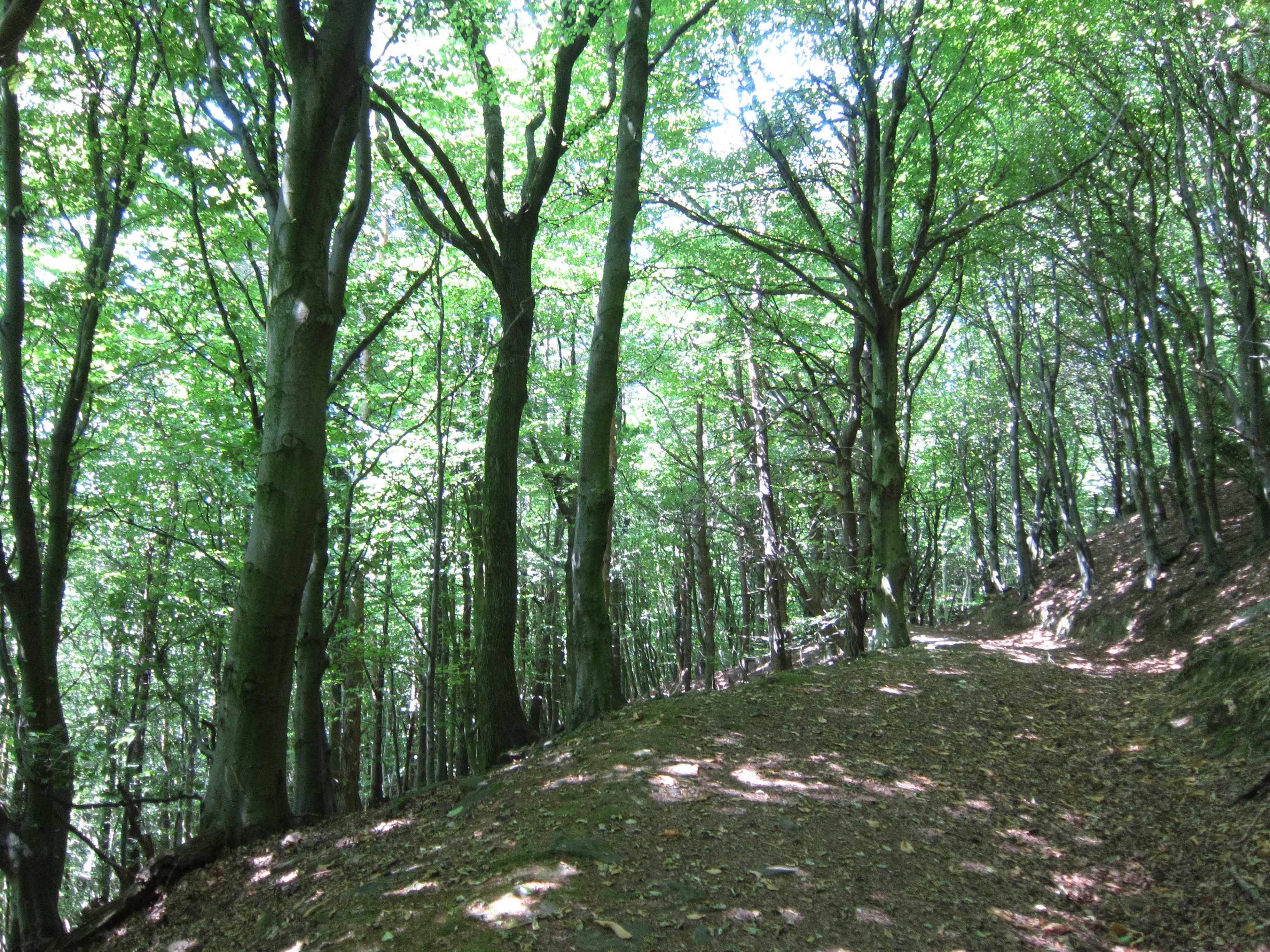
The first bit is along the A492, not very pleasant, then you turn up a track. My goodness, it was steep. Up and up it went, then branched left (past a little sales hut with an honesty box that some lout has trashed – honestly, why would anyone do that?) The path turned across a bracken-filled field, and kept climbing, eventually reaching the edge of woodland. It took me an hour to do 1.8 miles, it was so steep. I stopped to eat an apple and admire the view.

The peace was disturbed by the sound of machinery – I thought it was logging, but when I had scrambled down the steep slope off the peak, I saw that the track had been recently trimmed, so I guess it was that. In the clearing at the bottom were several men, ready to start path maintenance.
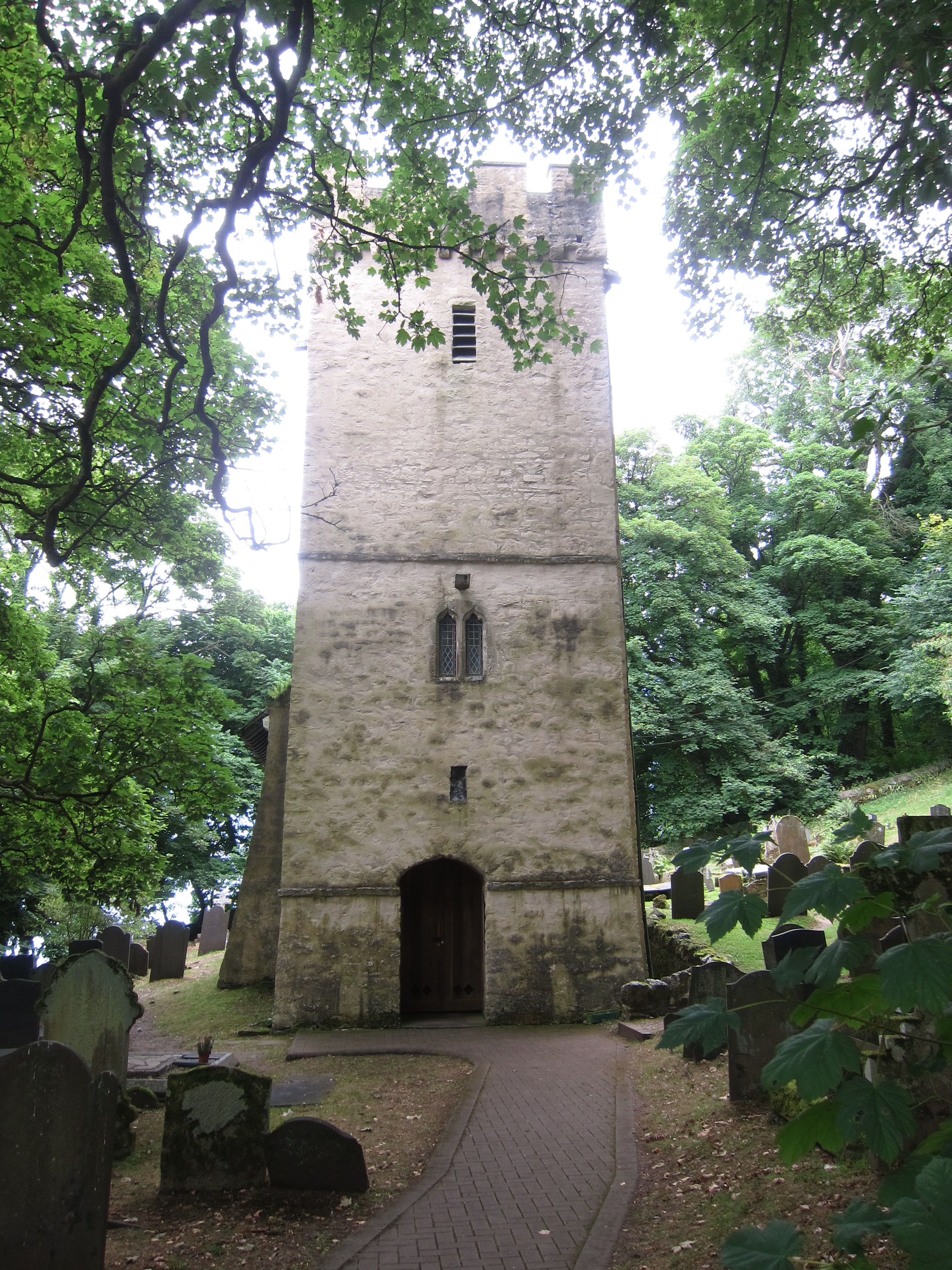
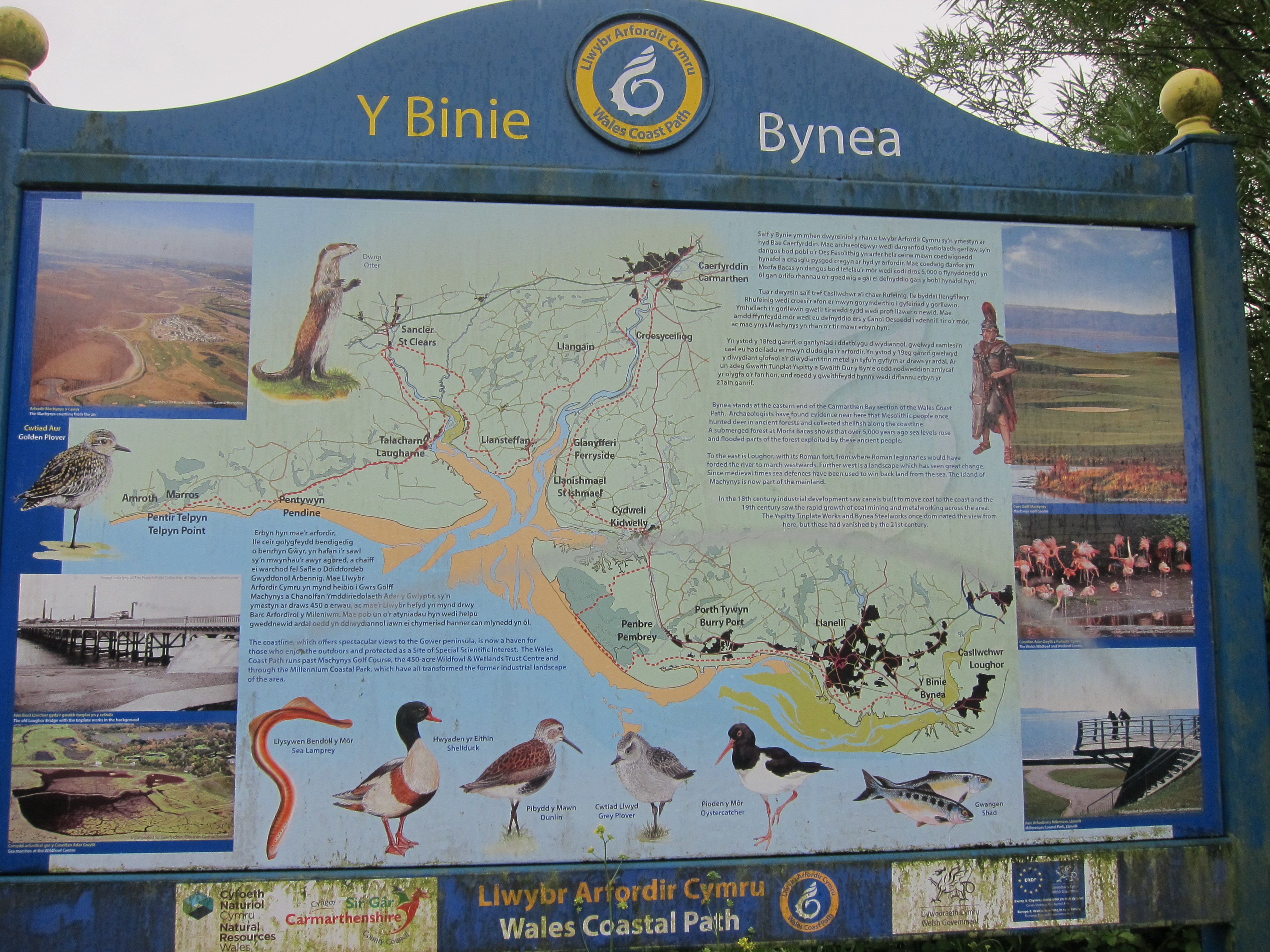
At this point the trail joins the cycle route and continues on a stony track for several miles, then a bit of road into Felindre, which has a best-kept village award, but sadly the only community pub/cafe was closed. A few yards further on, the path goes into the Macdonald Leisure Centre – it looked like a community of sheltered housing, but presumably is a holiday destination, as there is a pool and leisure centre. It said open to non-residents, so I went in to have a coffee. I went to reception and asked the girl behind the desk for coffee. She was apologetic – it was her first day and she did not know how to use the machine. The others were on their break. At that point, another staff member arrived. She thought the coffee machine needed to be cleaned first, but did not know how to do it. She called the other two staff members from their break – none of them knew how to use it – it seem a bit limiting to have four people, none of whom can use the coffee machine in a leisure club. One offered to make me a cup of instant, but I declined with thanks.
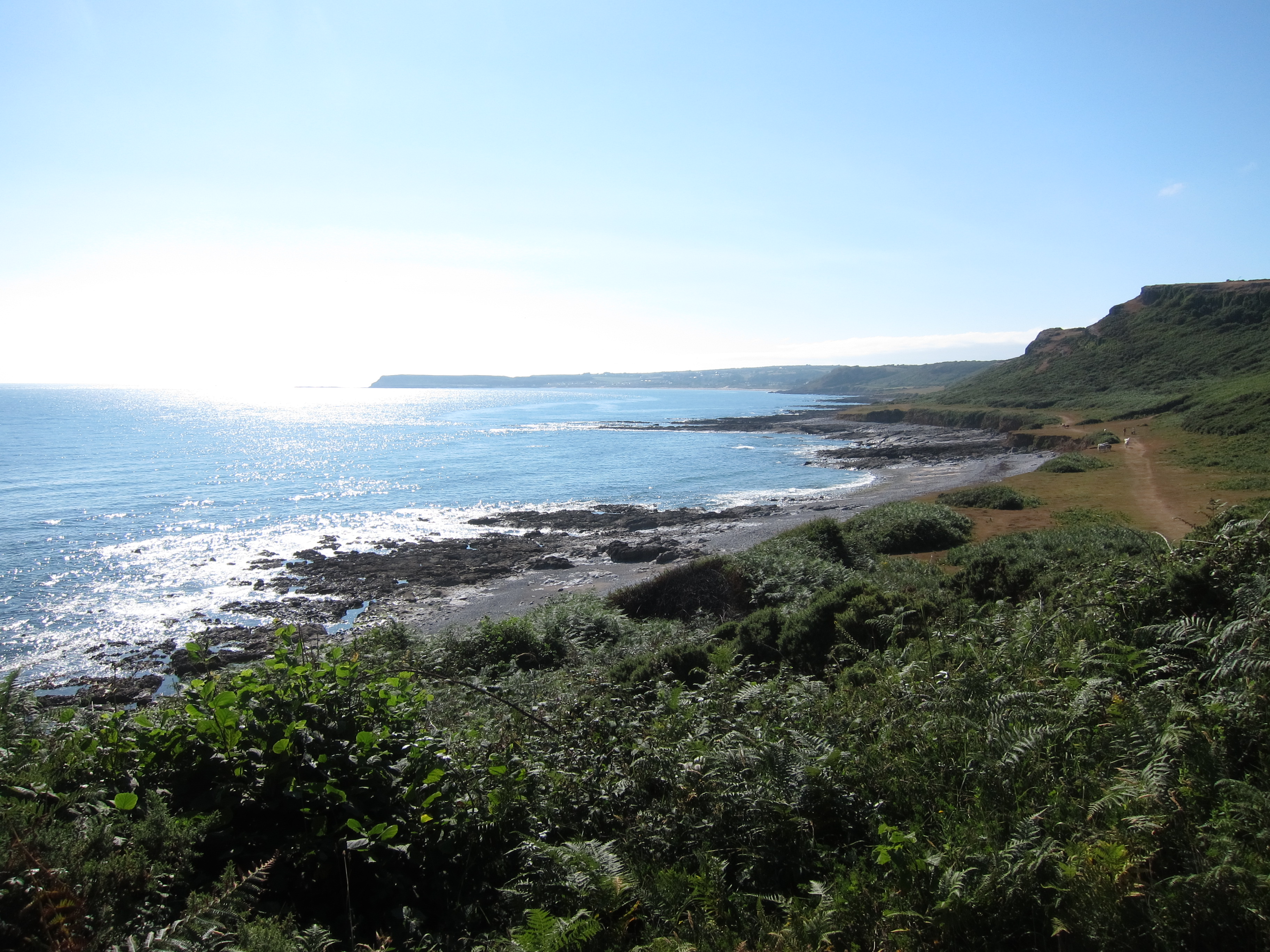
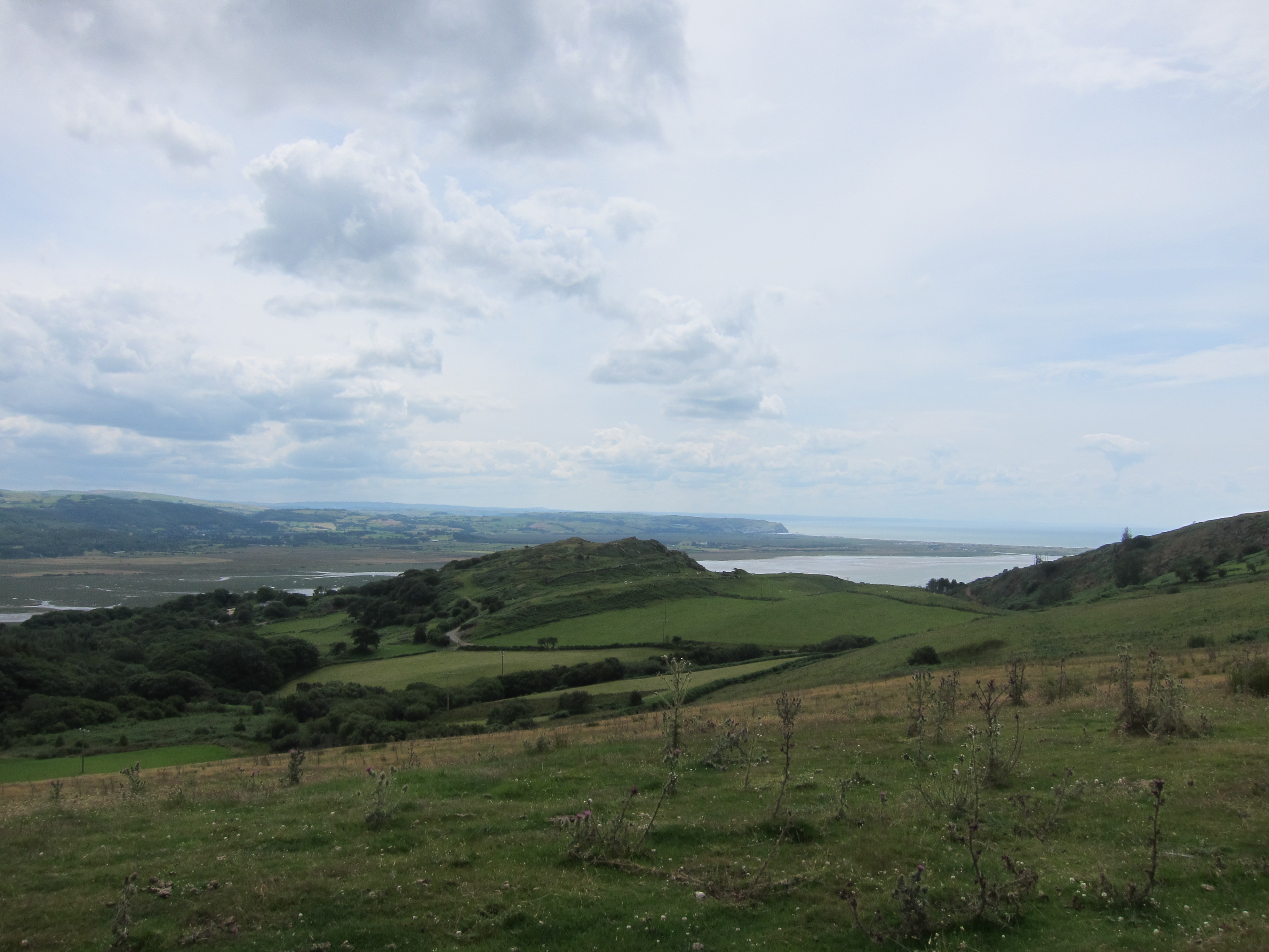
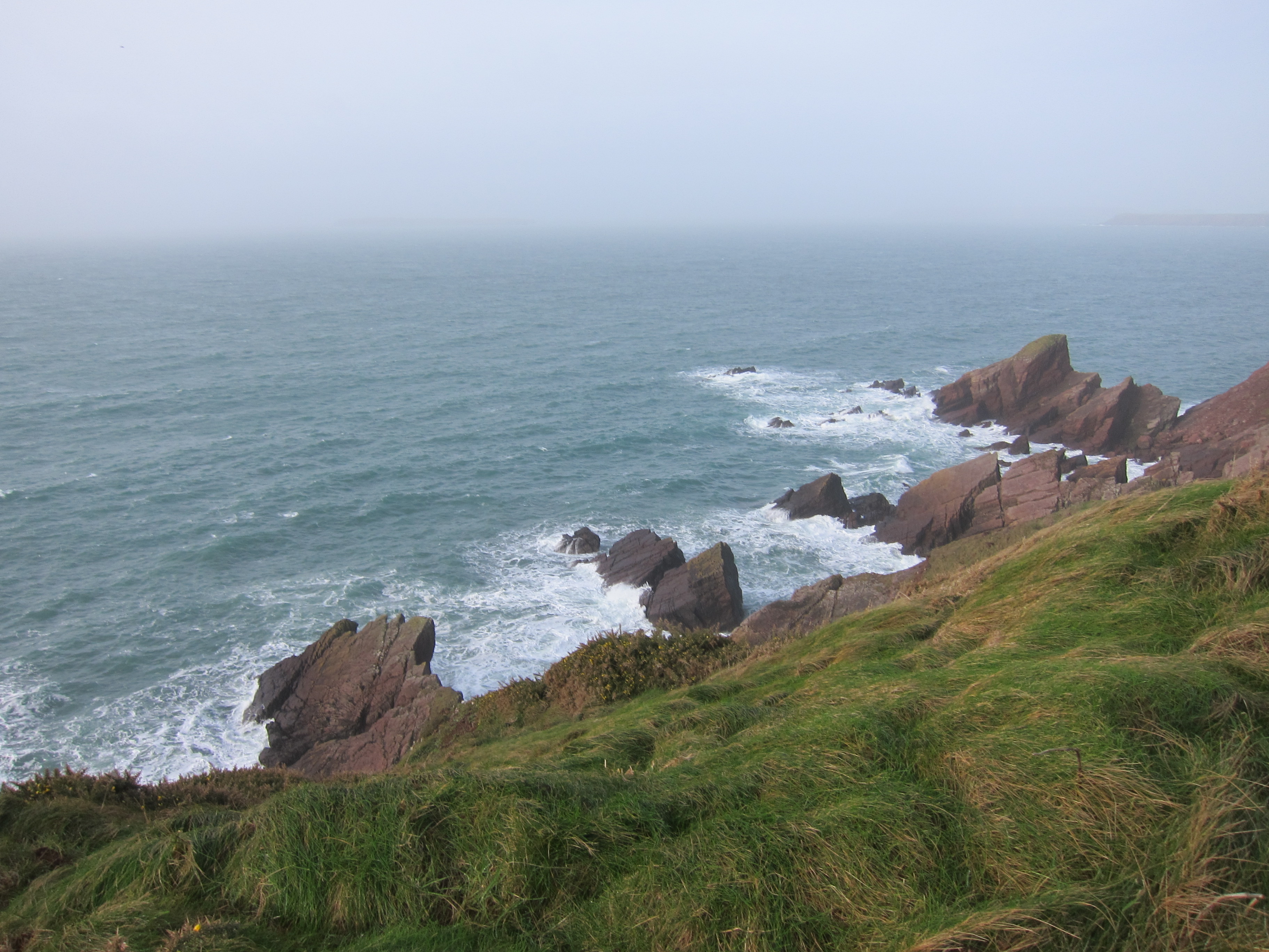
The path then ran out the back of the club along a grassy track, into woodland, and eventually across a sheepfield where I met two Scottish women who’d come over the top from Tywyn and were making for Machynlleth – definitely a harder route. The track then dropped down across the main road again onto a side road that climbed and climbed, before turning into a long track across the hillside. It is called the Panorama Track, and no prizes for guessing why – the whole of the Dyfi estuary could be seen, with the mountains to the south, and the Cader Idris range to the north, then out to the west, the sea was gleaming in the distance. It was a long walk, but absolutely wonderful. Definitely some of the best views of the entire walk so far although because the sun was not bright, the photos don’t do it justice.
Eventually, the track turned off through a couple of fields – one so steep and ploughed up from cattle that it was a struggle to walk – my knees were definitely fed up by this point.
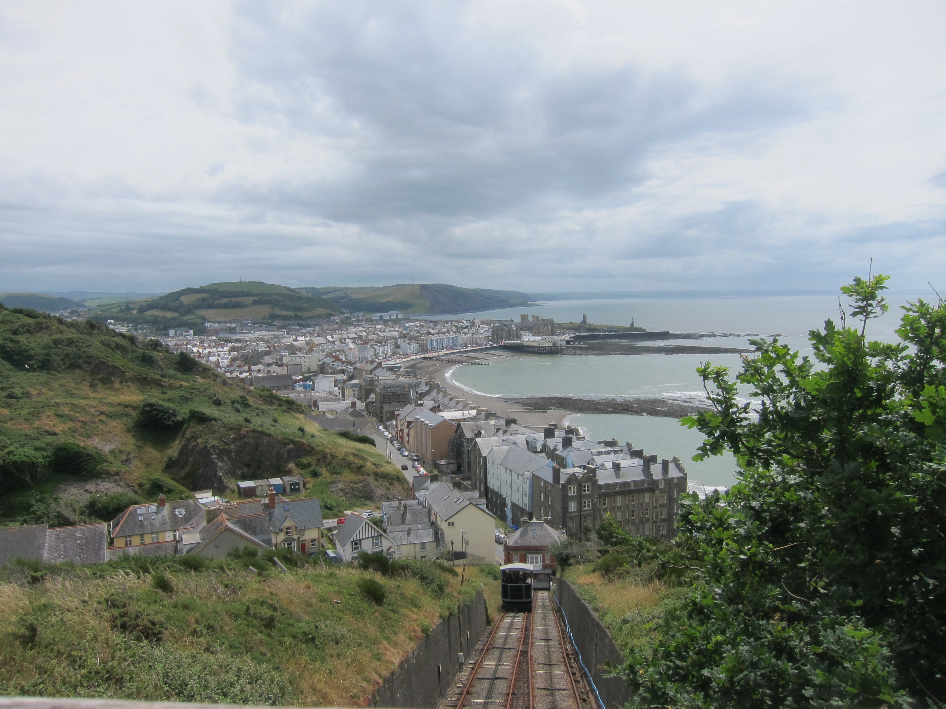
I got into Aberdyfi just after four – meaning I had done 11.2 miles in six hours, including several stops to admire the view. Good timing considering how steep parts were. I asked advice on a cafe and was directed to one that apparently was excellent, but I had no opportunity to test it as they were not serving between 4 and 5. The next one, too was closed. Seriously – in holiday season in a beach side town, why would you close your cafe at 4pm? What British person doesn’t want a cup of tea at 4pm? Fortunately, I found another place that had a little more sense as to what might be a good way to run a catering business and had a very good cherry blondie. 11.6 miles back to the car and another Gold day.


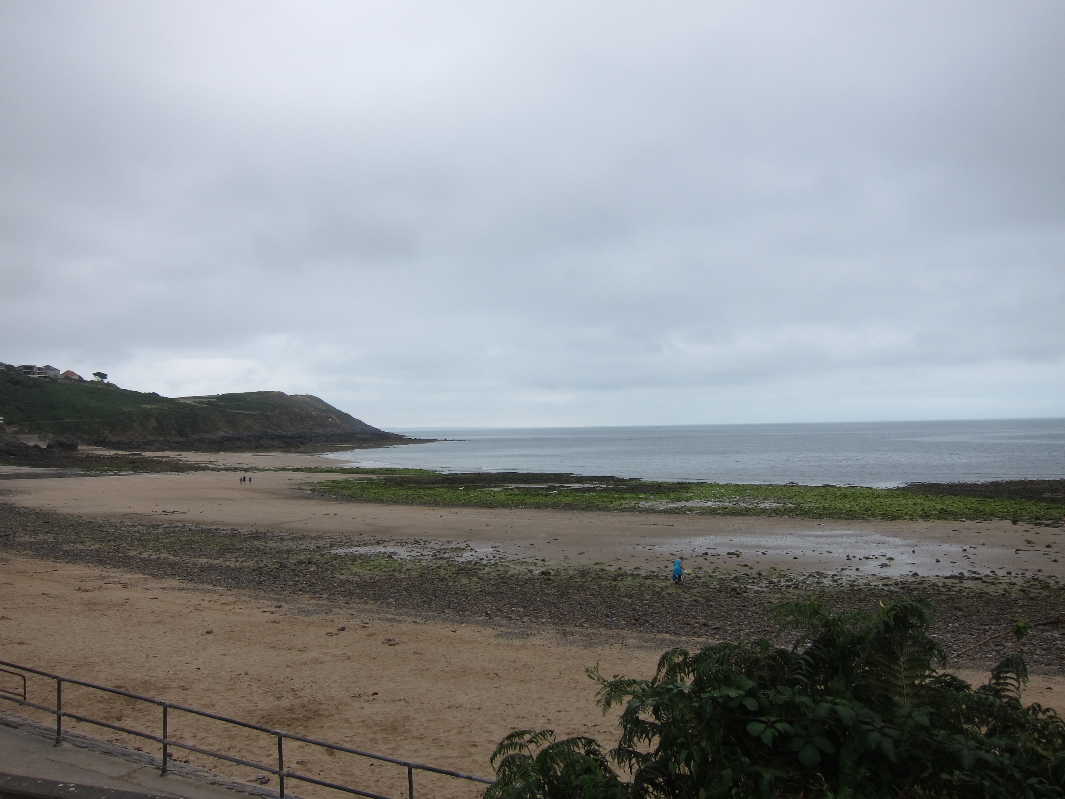 e down into Gower, and left one car at Port Eynon, before coming back to Caswell Bay. We dropped down on to Pwll du beach – being very critical of the rather ugly 1960s block of flats that over shadows it. Walking to the end of the beach, it was not clear where the path went – either over a heap of rocks at the end or else up onto the road in front of the block.
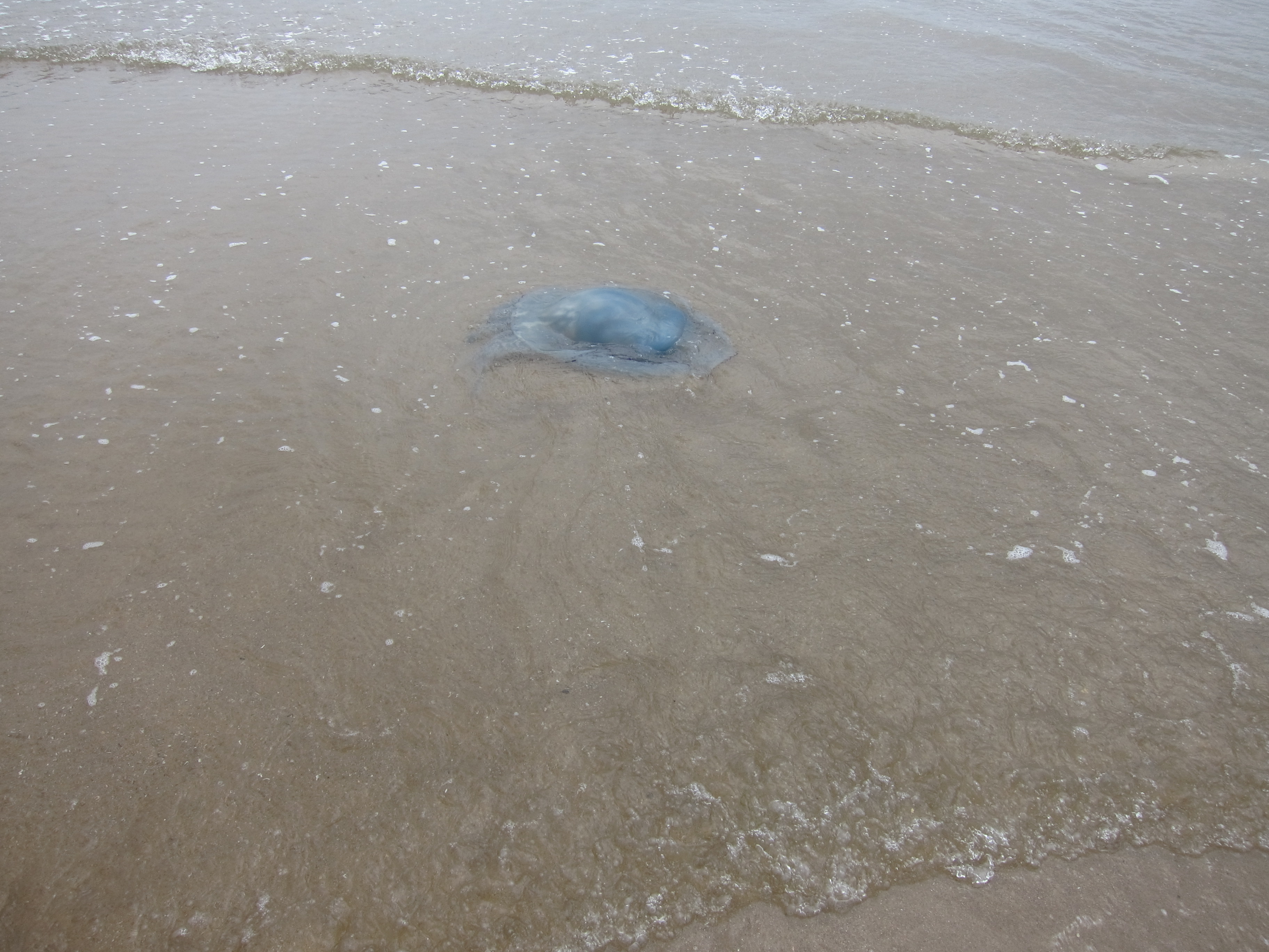 family, who was eager to tell us about the giant blue jelly-fish he had found. It was the largest one he had ever seen – it was even the largest one his dad had ever seen! And when we came onto Oxwich beach, we could agree that the jelly-fish are monsters!