The rain last night was so bad that I let Cat in. I was firm with him: 1. He had to go out when it stopped raining, 2. He had to go out when I went to bed, regardless of the weather. 3. I would not feed him. 4. He definitely was not allowed into the main bed-sitting room, but had to stay in the conservatory.
Those of you who have experience of cats will not be surprised to hear that I was woken at 3.42am by Cat uncurling himself from the small of my back, jumping off the bed and demanding to go out, having dined on the cooked chicken I bought for my packed lunches. How do cats do it? From pleading to be allowed to take shelter from the storm, to the complete run of my accommodation in a few hours!
Today was definitely one of those days when I have to pinch myself to believe I am not dreaming – everything was just right – even getting lost a couple of times was no hardship. I drove to Glan-y Fferri, intending to catch the 9.10 train. I allowed plenty of time to get there, as the narrow lanes can be confusing – in fact I went down one so narrow that a pedestrian and her dog could hardly pass me – it got steeper and steeper and narrower and narrower, and I was lucky nothing came in the opposite direction. I was early, so I sat in the car for a few minutes, then cursed myself as, if I had hurried, I could have caught the 8.24. However, the forty minute wait was a blessing in disguise, as two more walkers turned up. They were doing the same stretch as me today, and, after a bit of chat, we realised we are staying at the same place. We did not walk together – it is very tiring to pace yourself to someone else, and I could tell they would be faster than me.
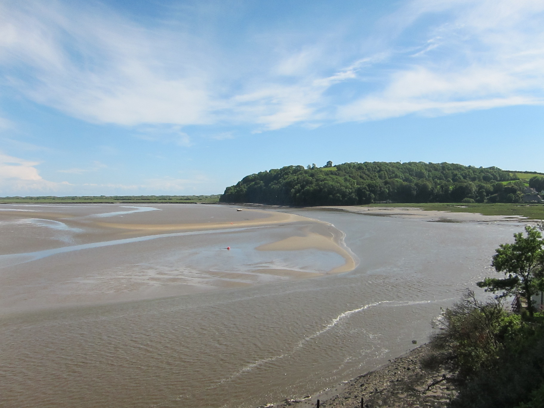
I joined the path more-or-less where I left it yesterday, going round the dock at Penbre. The dock was created by local entrepreneurs, George Bowser and Thomas Gaunt in the 1810s for shipping coal from Gwscwm and Cwm Capel. It was formed by diverting water from the Derwydd to scour a deep tidal harbour, with sluices for clearing the silt. The original owners failed, but the site continued to be viable until the early twentieth century by which time it had silted up too much to allow big vessels access.

Penbre Dock
Quite a few boats were bobbing in the little dock, as I turned west, inland of the sand dunes. Like yesterday, much of the path was tarmac aimed at cyclists.
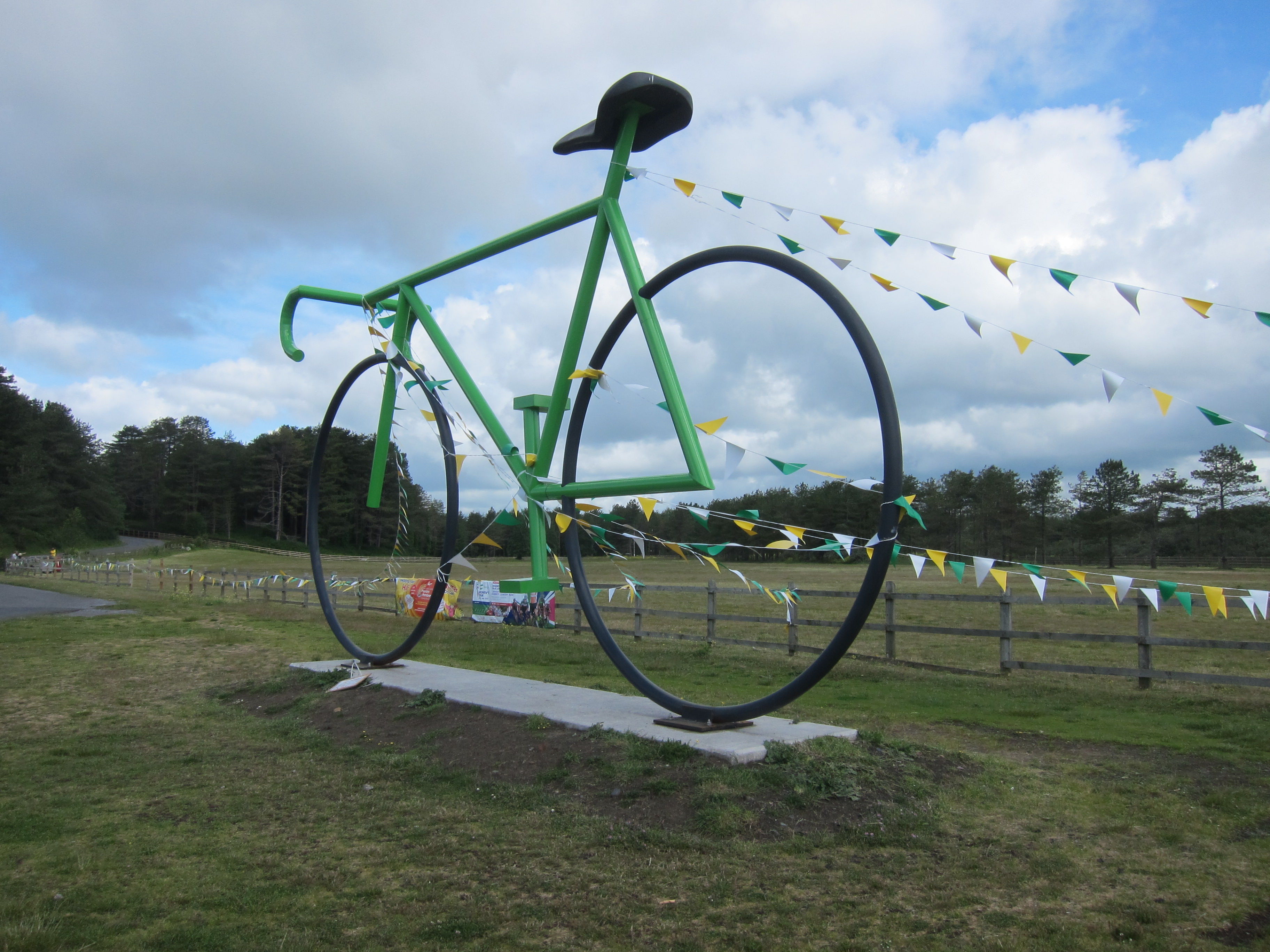
Some sort of cycling challenge in progress in Pembrey Country Park.
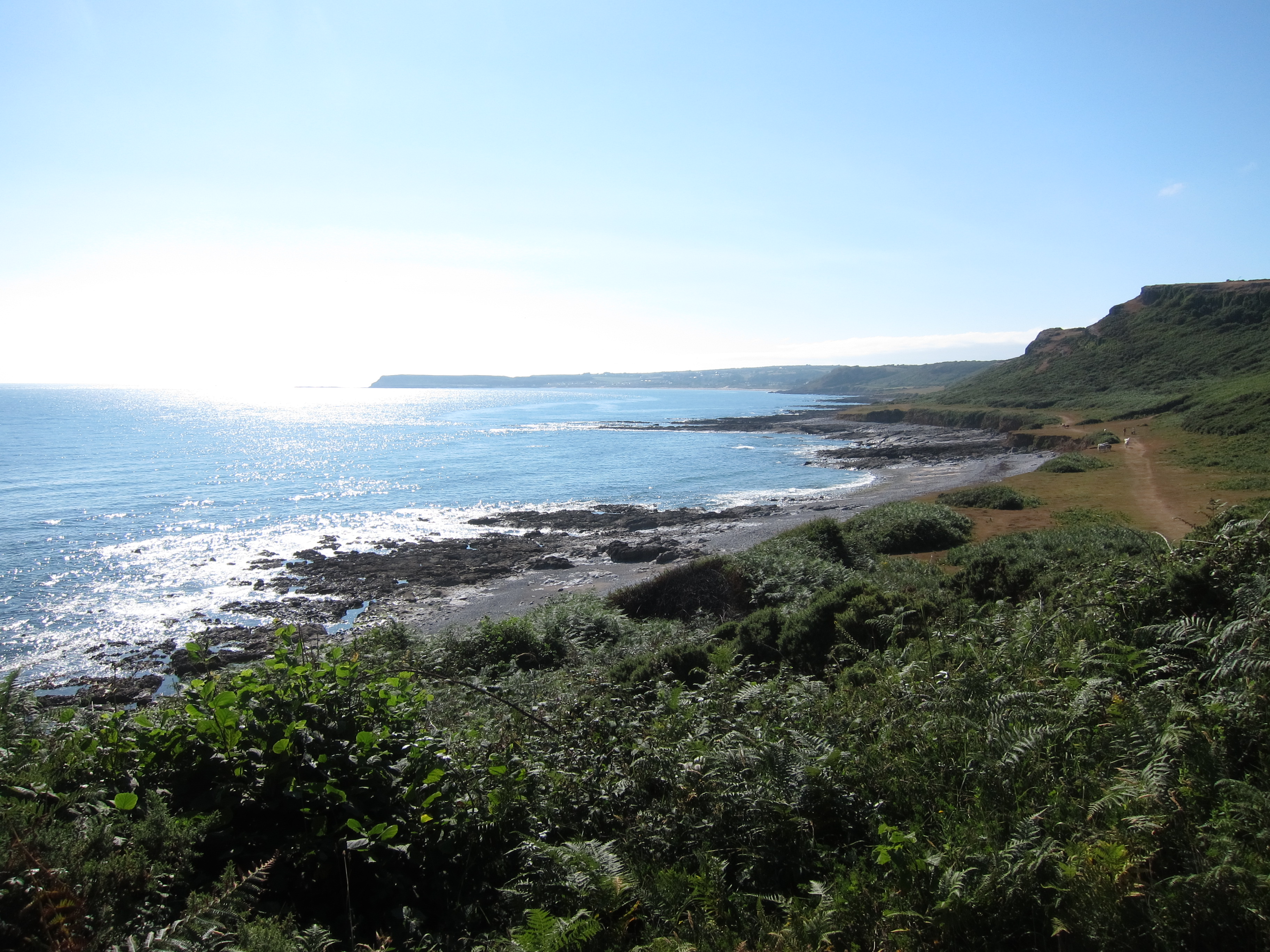
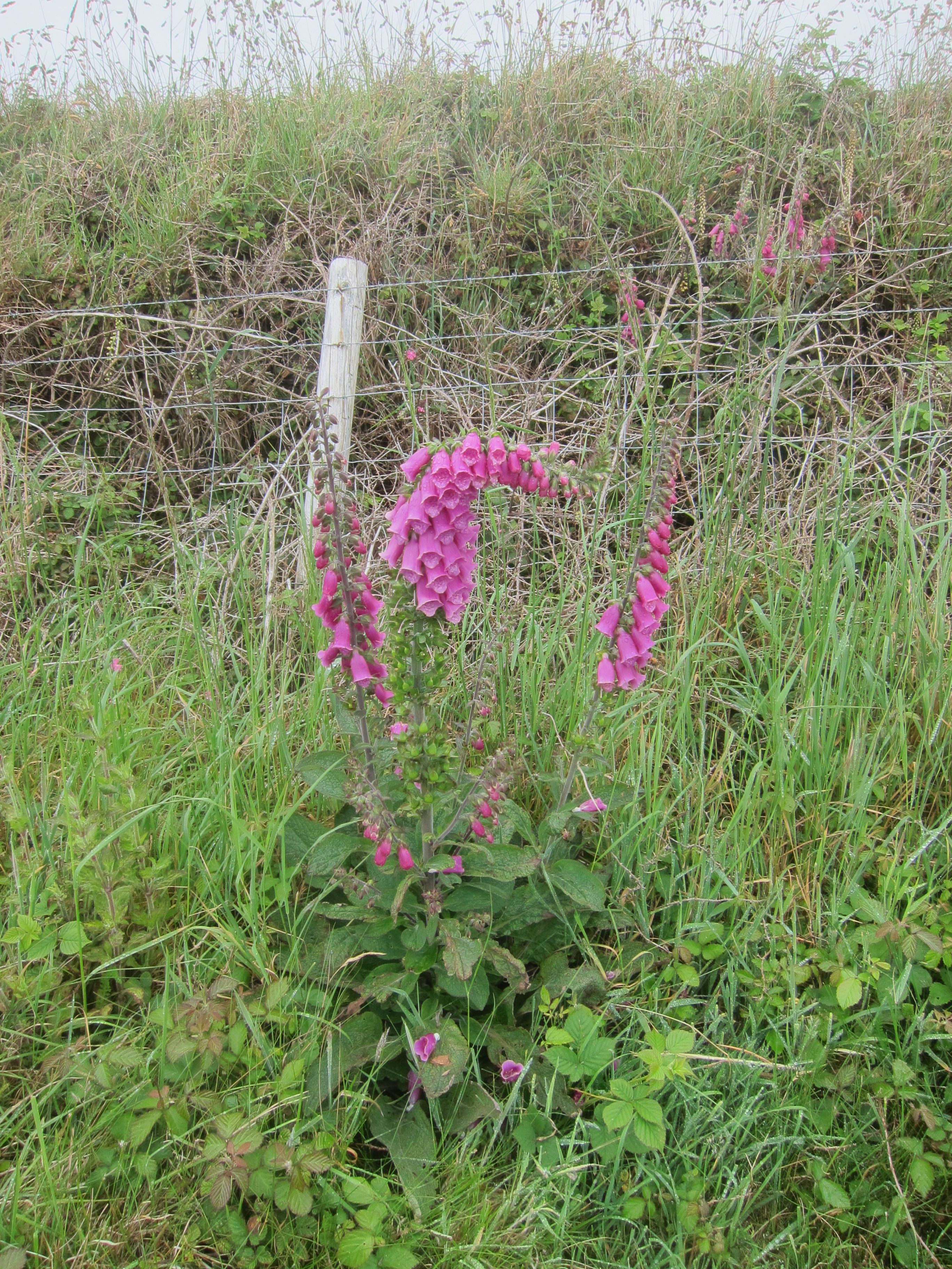
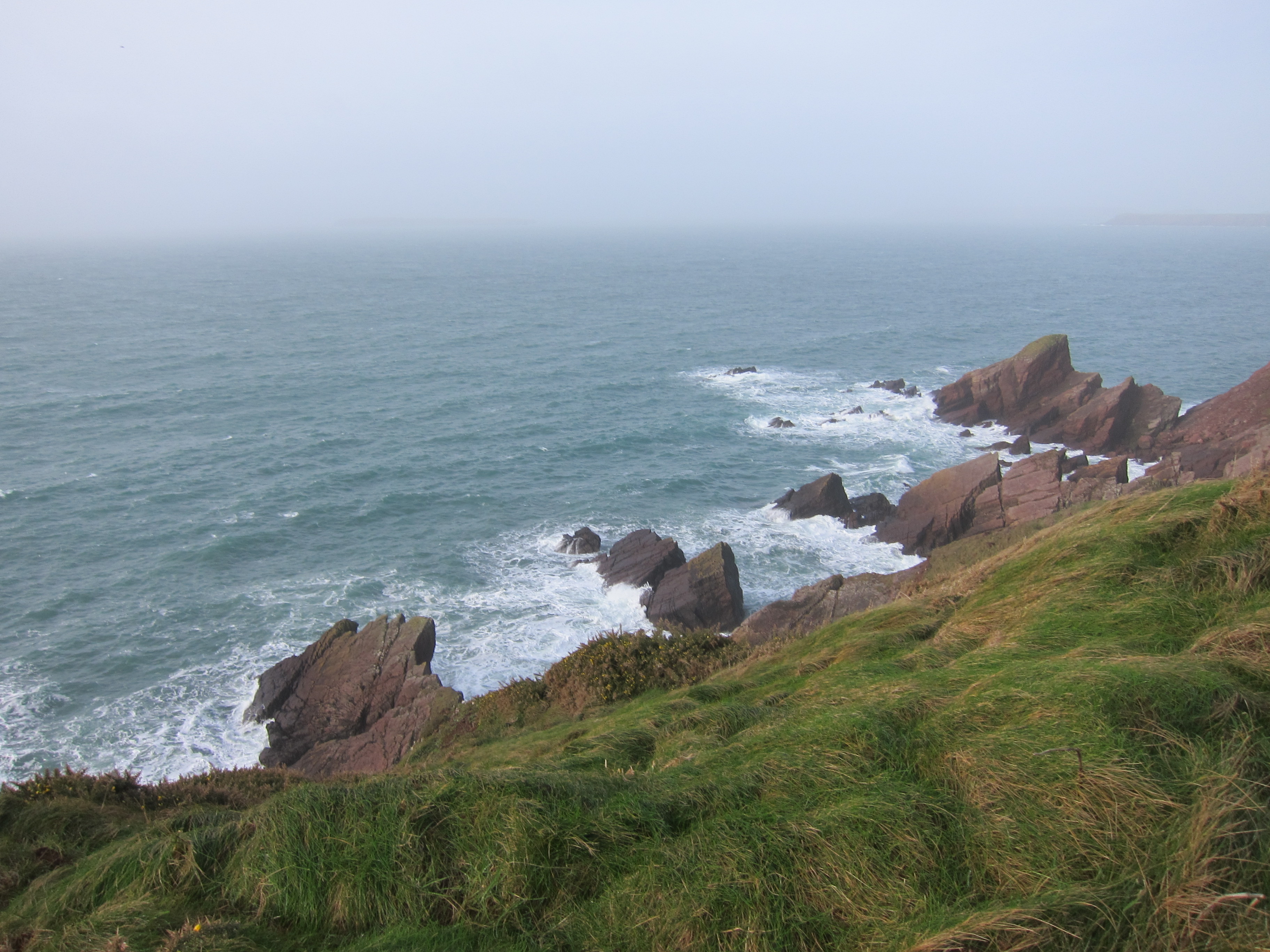
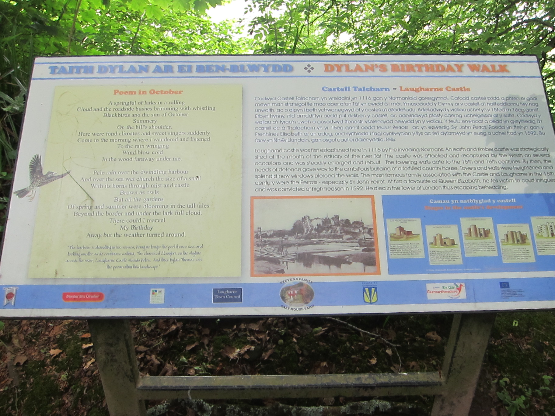
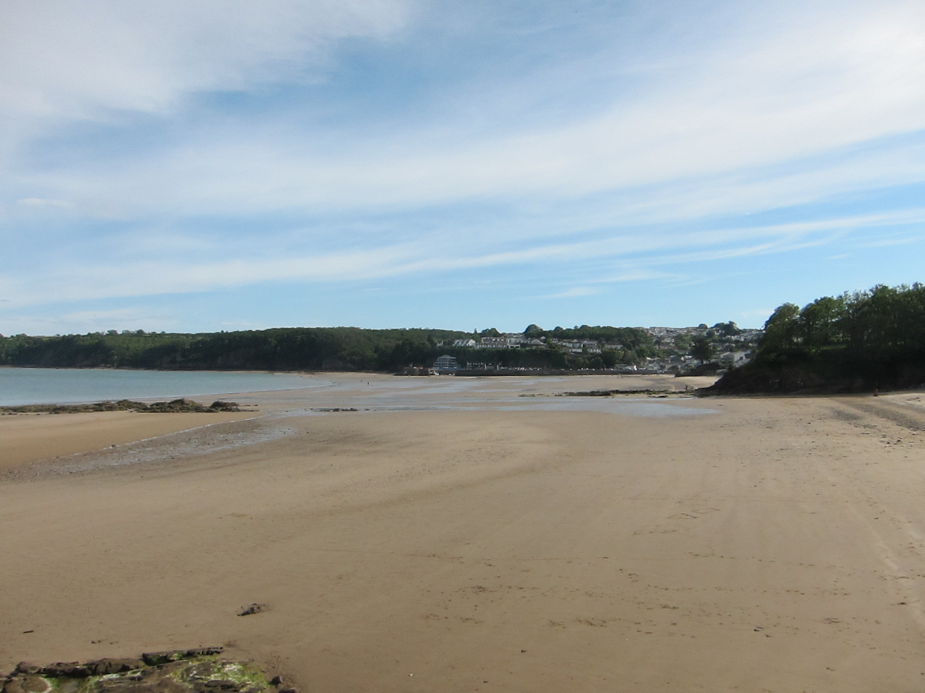
It runs into a country park, with lots of tracks and trails, and even, rather bizarrely, a dry ski slope. I stopped on a hill to admire the view and eat some muffin. After a couple of miles, it decants onto Cefn Sidan, a Blue Flag beach which is absolutely superb – almost flat with sands graduating from gold to white, living up to their Welsh name of ‘silk’, and lots of low breakers after yesterday’s rain. It was a little marred by the quantity of jelly-fish, but the views across to the Gower on one side, and the headland at Pendine on the other were wonderful.
I was amused by a sign warning against the hazards of too much sun. I think I will start a new page, with best sign of the day.
The rain had rolled away overnight, and the sky was mostly blue with broken cloud. The wind was quite fierce though. I could see my train companions far away and kept an eye on them, as the path turns back from the beach, into Penbre woods. I did not see the path, and was wondering where it might be when I saw that James and Anita had turned back. They told me they had walked a good way further on, and that we must have passed the track. We turned back and took the first path off the beach, but that was a dead-end. We went back a bit further, and left the beach at a clear track, which took us into the wood. We consulted the maps and the GPS, and agreed that about a mile in the same direction would take us to the edge of the wood. I decided to eat my sandwiches, whilst they walked on.
Ten minutes later, I started out, but before long I got lost in the hopeless maze of tracks that weave in and out of the wood, mainly designed for cycling. There was neither jot nor tittle of a sign, after the earlier section had been so clearly marked. After I while I was sure I was going in the wrong direction, so I whipped out my compass (when I say whipped, I mean I unpacked my entire rucksack to find it at the bottom). I was going south rather than north, so I turned around and took a different track, slightly reassured when some passing cyclists told me I was going in the right direction for Cydweli, but they did not mention it was a circular track. At least a mile and half further on, I finally came to T-Juncion with a sign. Coast Path – going in both directions. As I was consulting the map, a couple of locals came up and put me on the right path. She warned me about a field of cows. ‘Friendly or grumpy’, I asked, gripping my poles in business-like fashion.
‘Oh, quite tame.’
Nevertheless, I prepared my mind. In the far distance, I caught site of James and Anita again – clearly they had been lost, too. The track turns across the old airfield, which is huge, and literally riddled with bovines. Naturally, some were on the path. I decided that holding my poles in front of me would make me look bigger. I walked amongst them but, fortunately, although there was a bit of snorting, none of them moved. The track then carried on to Cydweli – hard underfoot again. It was 3.30 by now, and I was keen for a stop. I found a very nice little tea-shop, where my friends had already imbibed, and ate a couple of Welsh cakes. There next section was straightforward, a bit of road walking then up a track to Llansaint, through the little village, with superb views opening up of the estuary, then through more fields and down into a lovely, narrow little wooded glen.

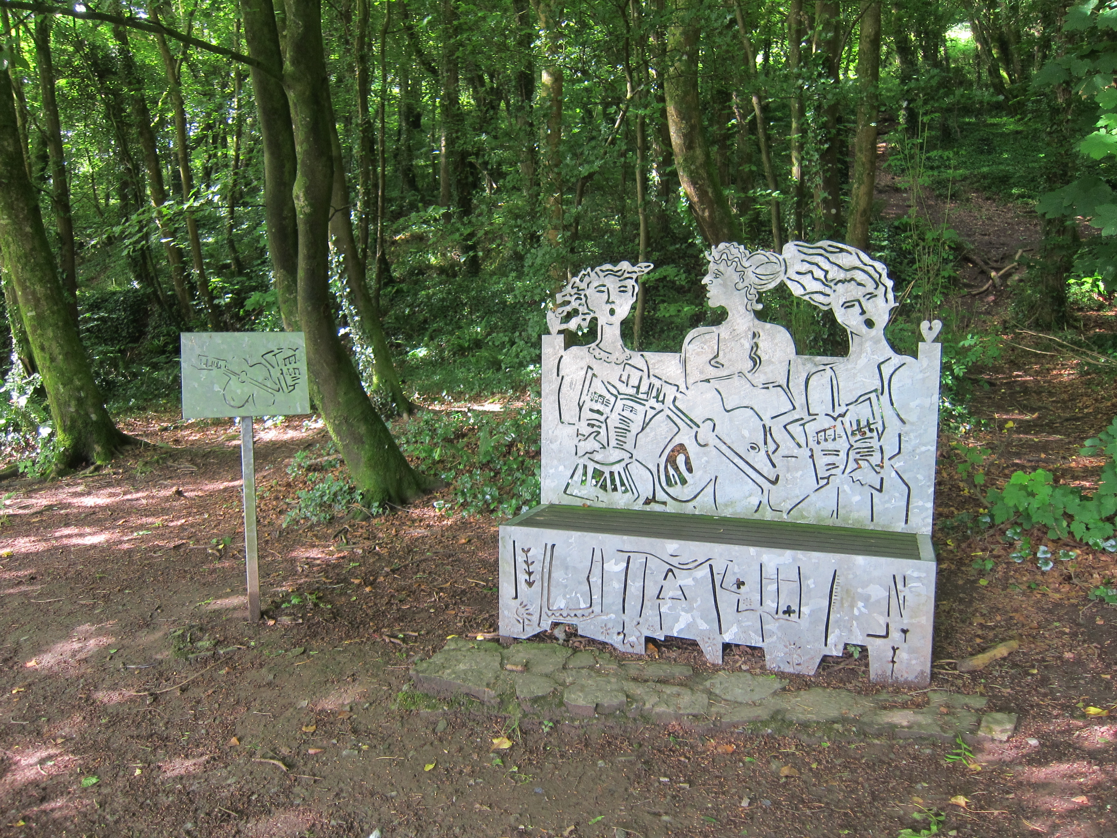
Glade near Llansaint, Carmarthenshire.
I was glad of my new boots – after yesterday, everything was slippery. A steep climb up the other side, then though more fields, mostly well-marked, although I did go the long way round one of them, before coming into another glade.
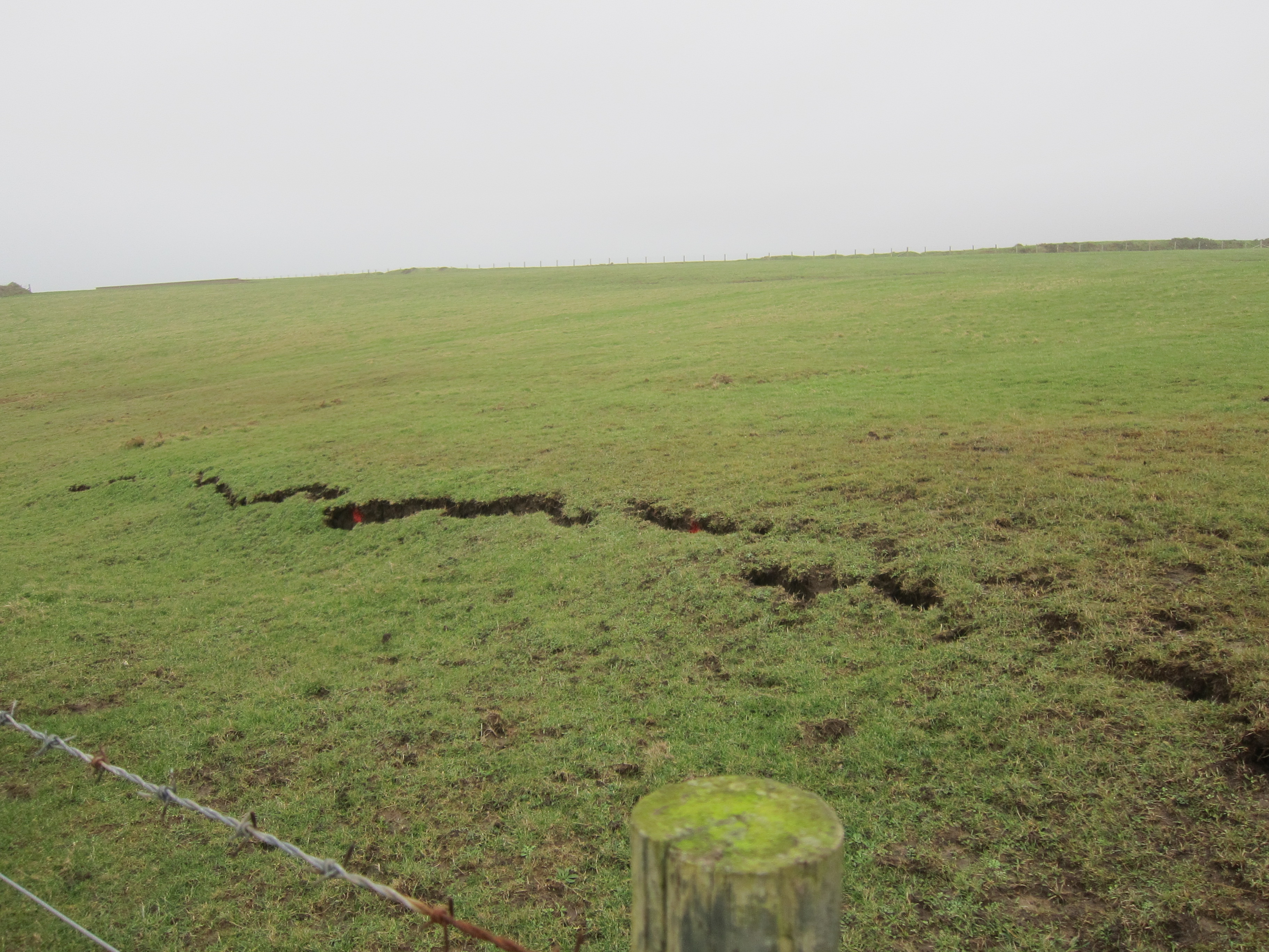
I could hear some cows bellowing, and was glad when the path turned away from the field gate, although all it did was go ten yards down the hill, then enter the field just below where the cows were congregating. They were noisy, and not friendly. The mud was appalling, real boot sucking stuff, so even if I had wanted to run, I would not have been able to. I was glad of my poles, that kept me upright when I might have fallen. Fortunately, the beasts were more sound than action. I went through the kissing-gate and followed the sign, which seemed to lead across a very steep and muddy field. The path was so muddy it was hard to walk, but to go off the path was impossible as the slope was enough to turn your ankle. I slogged along for about a half a mile, getting muddier all the way, till the path ended in a barred gate. I had obviously missed the route. Unable to face returning, I shimmied under the barbed wire onto the lane. The path then meanders through the back of Glan-y-fferri, back to the car park.
Just as I arrived back, the other couple did and we had a chat to Mrs B & B. Cat emerged, and I had to ignore him as she once again insisted that he was not to be encouraged. I felt like a guilty spouse, pretending not to know my lover.
Distance 15.3 miles and a Silver day.


 The weather was pretty foul, and the forecast was worse. On the upside, I am staying at a gorgeous AirBandB in the little city of St David’s – one of the nicest places I’ve stayed on the whole walk, and I also have the pleasure of friends joining me.
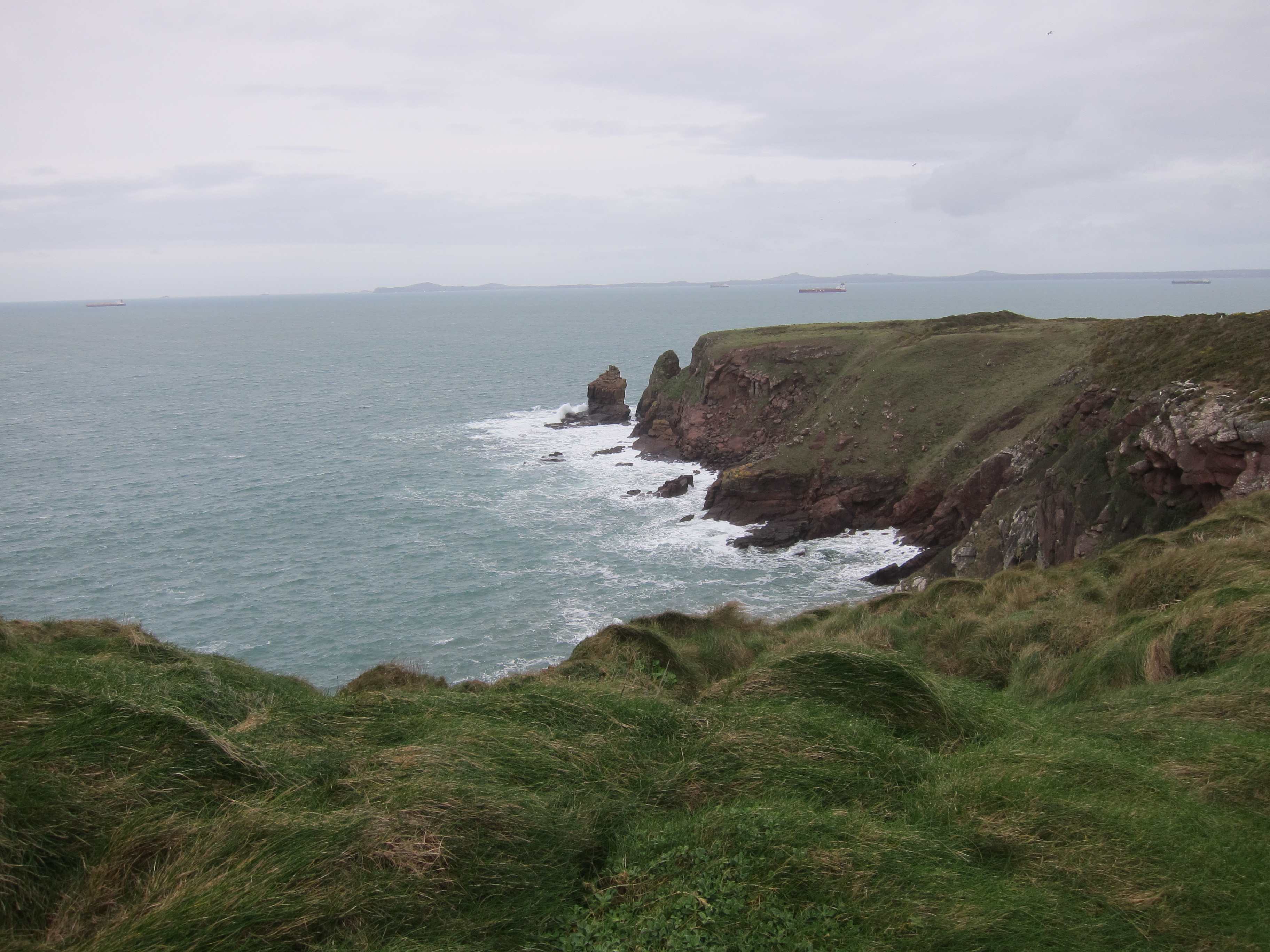
 It was hard to believe that we were close to the massive refineries and industrial complexes of Milford Haven. Once round Angle Bay, the path meanders inland behind the huge Pembroke refinery, which, astonishingly, is cheek by jowl with a 14th century tower house. We could see Fort Popton on the headland, built for defence during the prime-minstership of the bellicose Lord Palmerston – he of the gun-boat diplomacy. Because of the lie of the land, the refinery was surprisingly invisible as we passed east and south of it, although when we came round Pwllrochan Flats, we passed under the pipes. Once away from the shore, the path went into woodland,
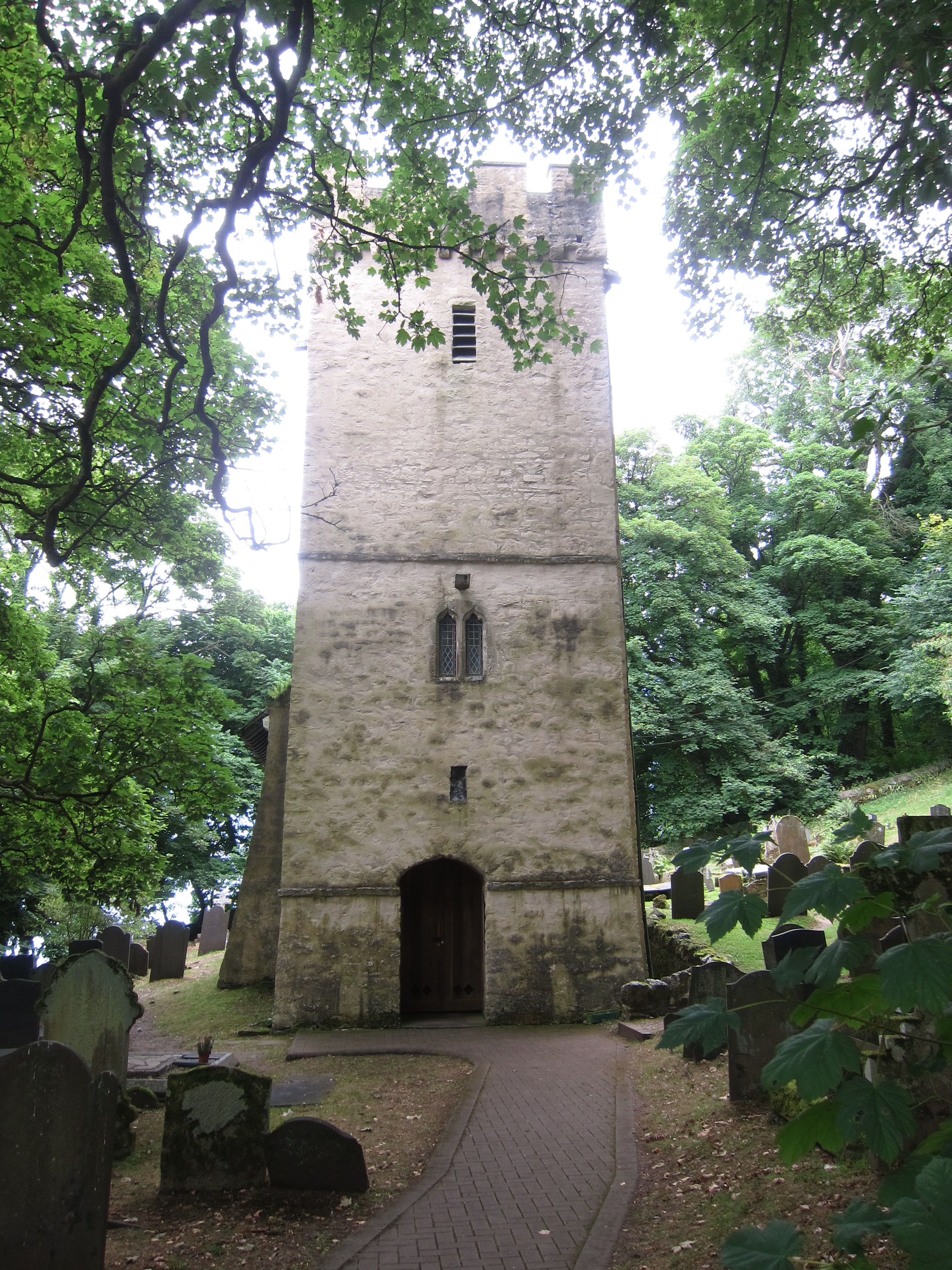
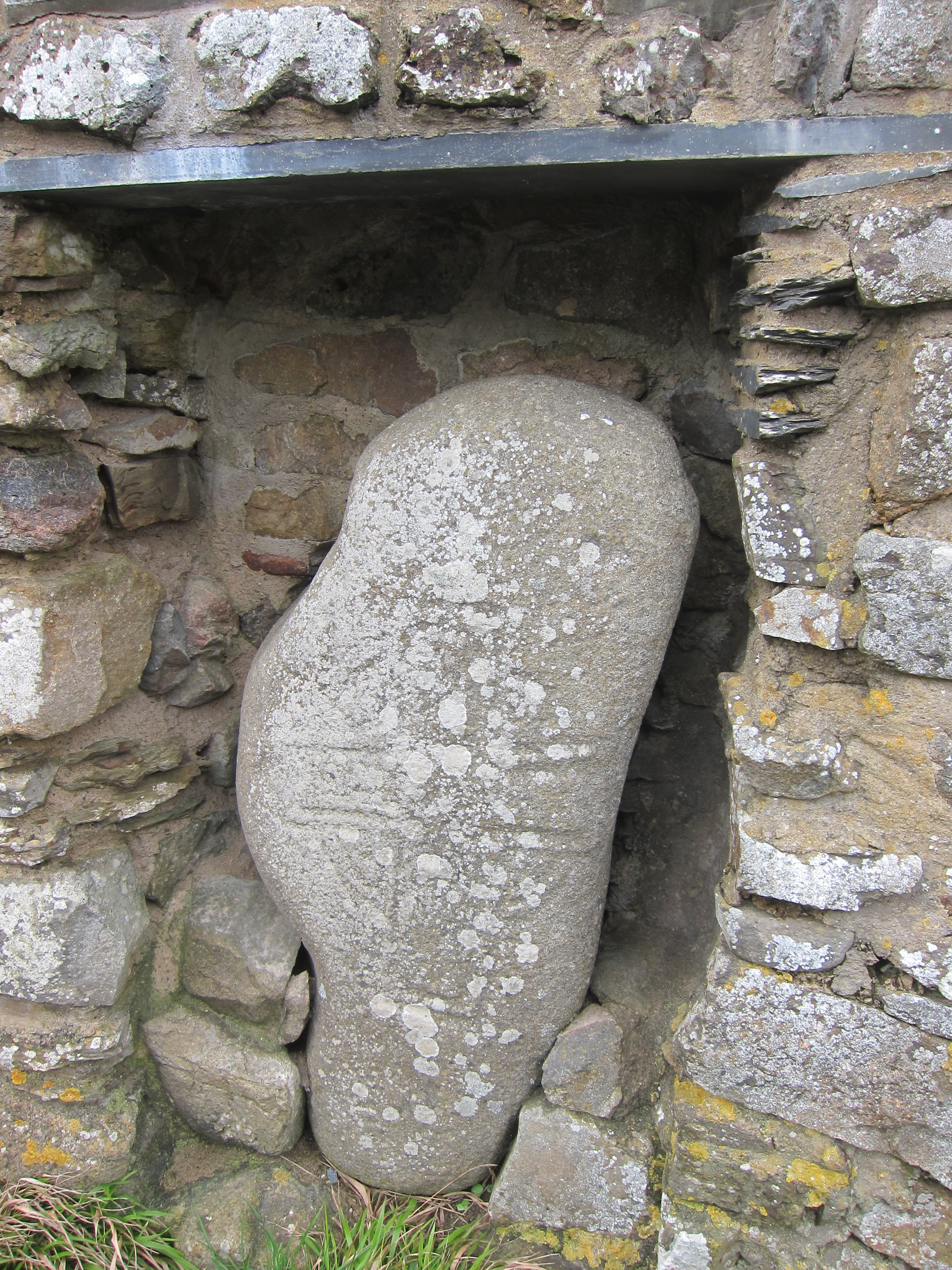
 I had over trousers on but my trousers are still caked with mud to the knees. Spring has come early to Pembrokeshire, and there were swathes of snow-drops in the wooded sections. We passed the old St Mary’s Church at Pwllchrochan, which is now a private house. It has the distinctive spire atop a square tower of the district.
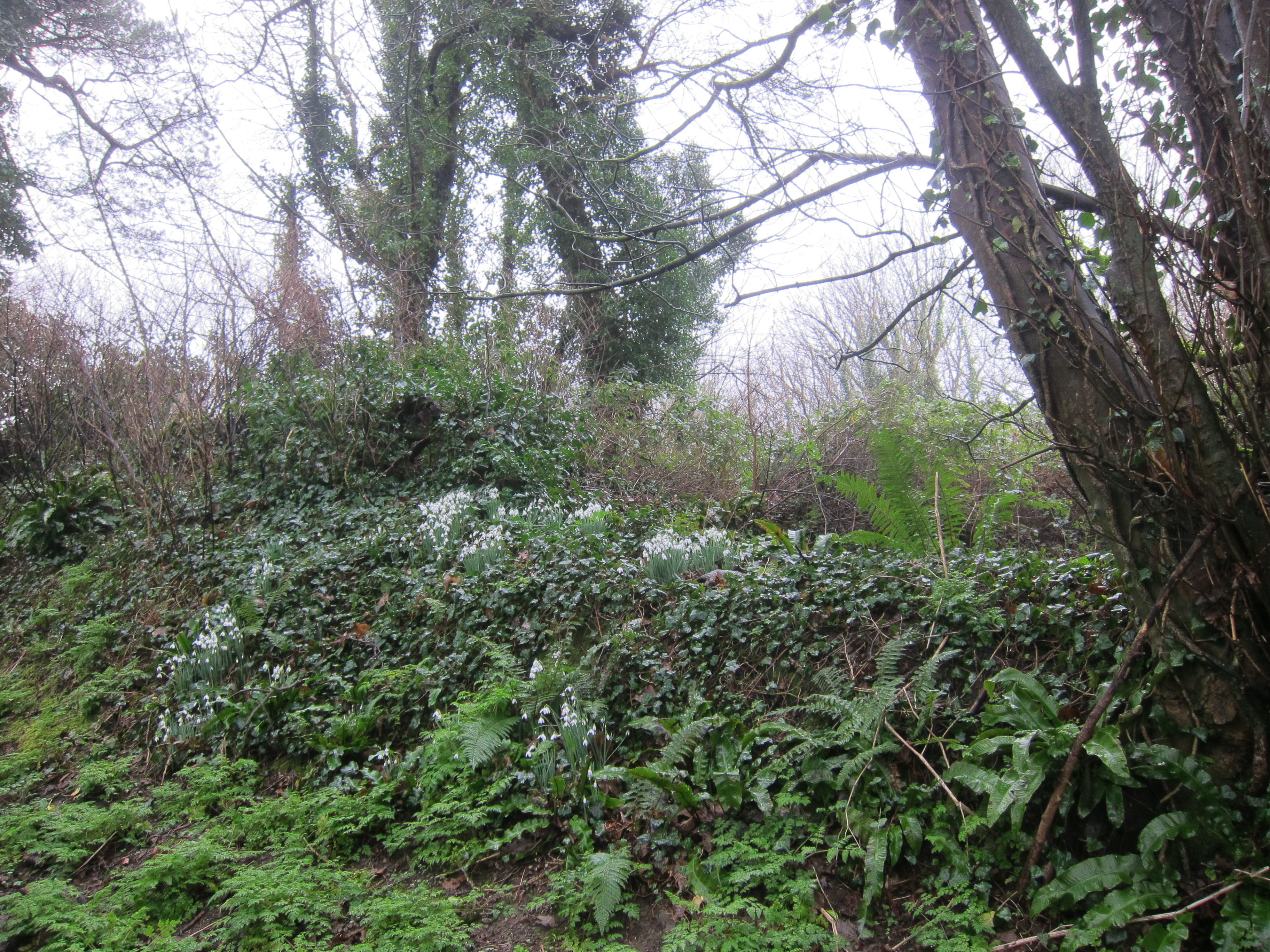


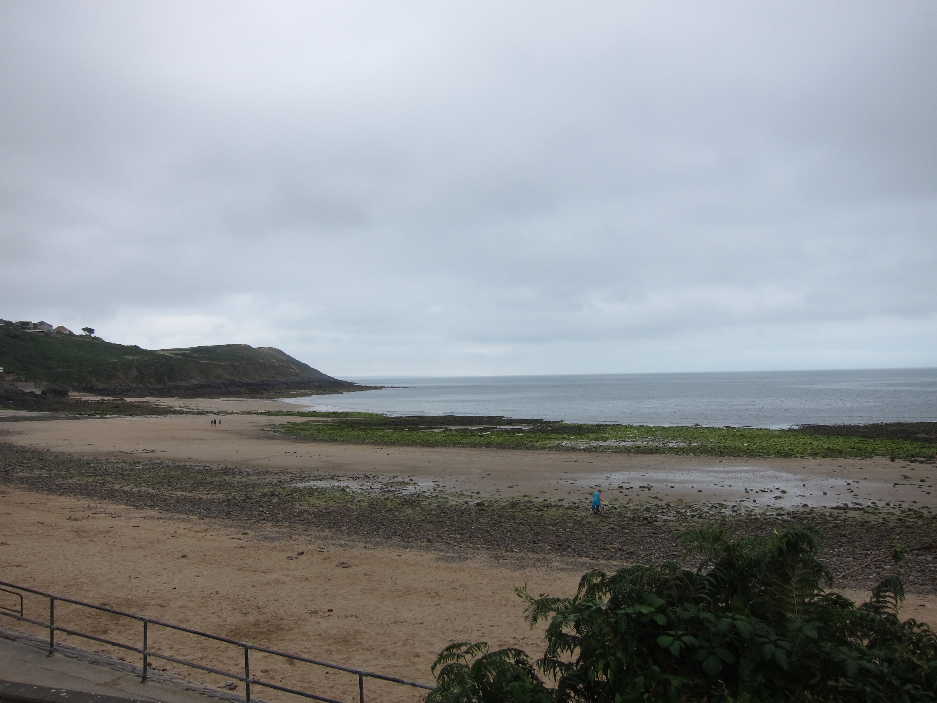 e down into Gower, and left one car at Port Eynon, before coming back to Caswell Bay. We dropped down on to Pwll du beach – being very critical of the rather ugly 1960s block of flats that over shadows it. Walking to the end of the beach, it was not clear where the path went – either over a heap of rocks at the end or else up onto the road in front of the block.
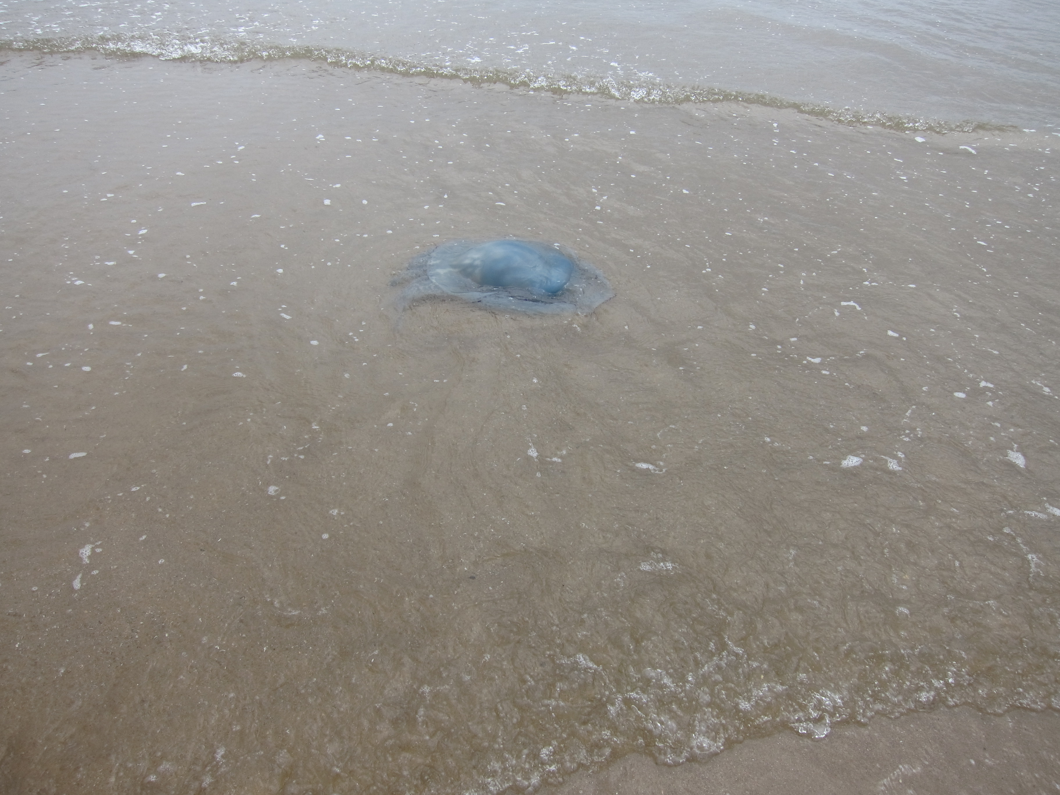 family, who was eager to tell us about the giant blue jelly-fish he had found. It was the largest one he had ever seen – it was even the largest one his dad had ever seen! And when we came onto Oxwich beach, we could agree that the jelly-fish are monsters!