Day 15 6 April 2013 Newhaven to Shoreham-on-Sea

Today was the last walking day of my holiday – I originally planned to walk for a couple of hours tomorrow, but need to get back sooner.

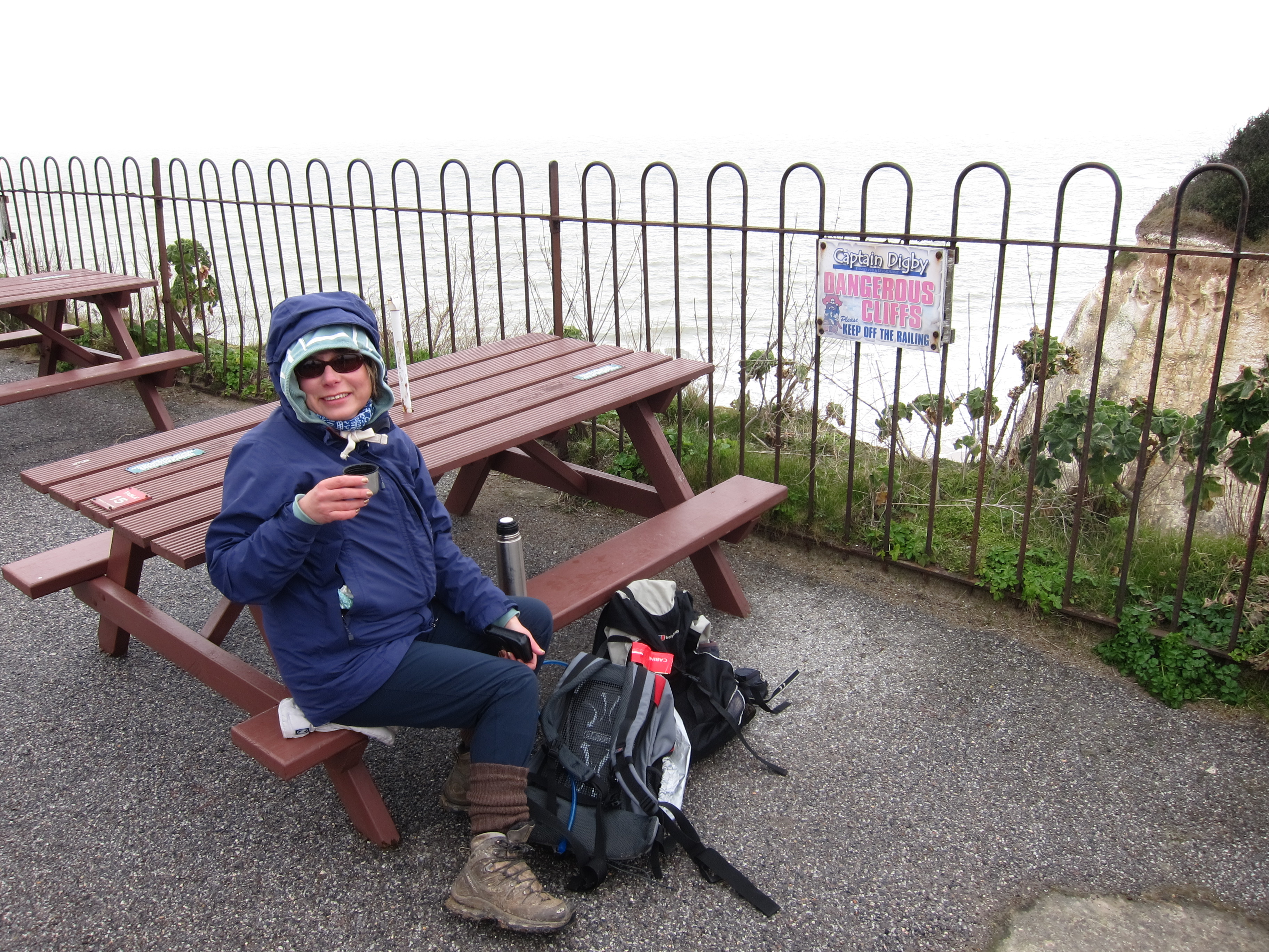
Chris joined me again today – we were dropped, very kindly, by Rita at Newhaven and walked through the back streets to the sea front.  Unlike yesterday, the weather was fabulous – bright blue sky and a temperature that enabled me to walk without gloves or hoodie!IMG_3454

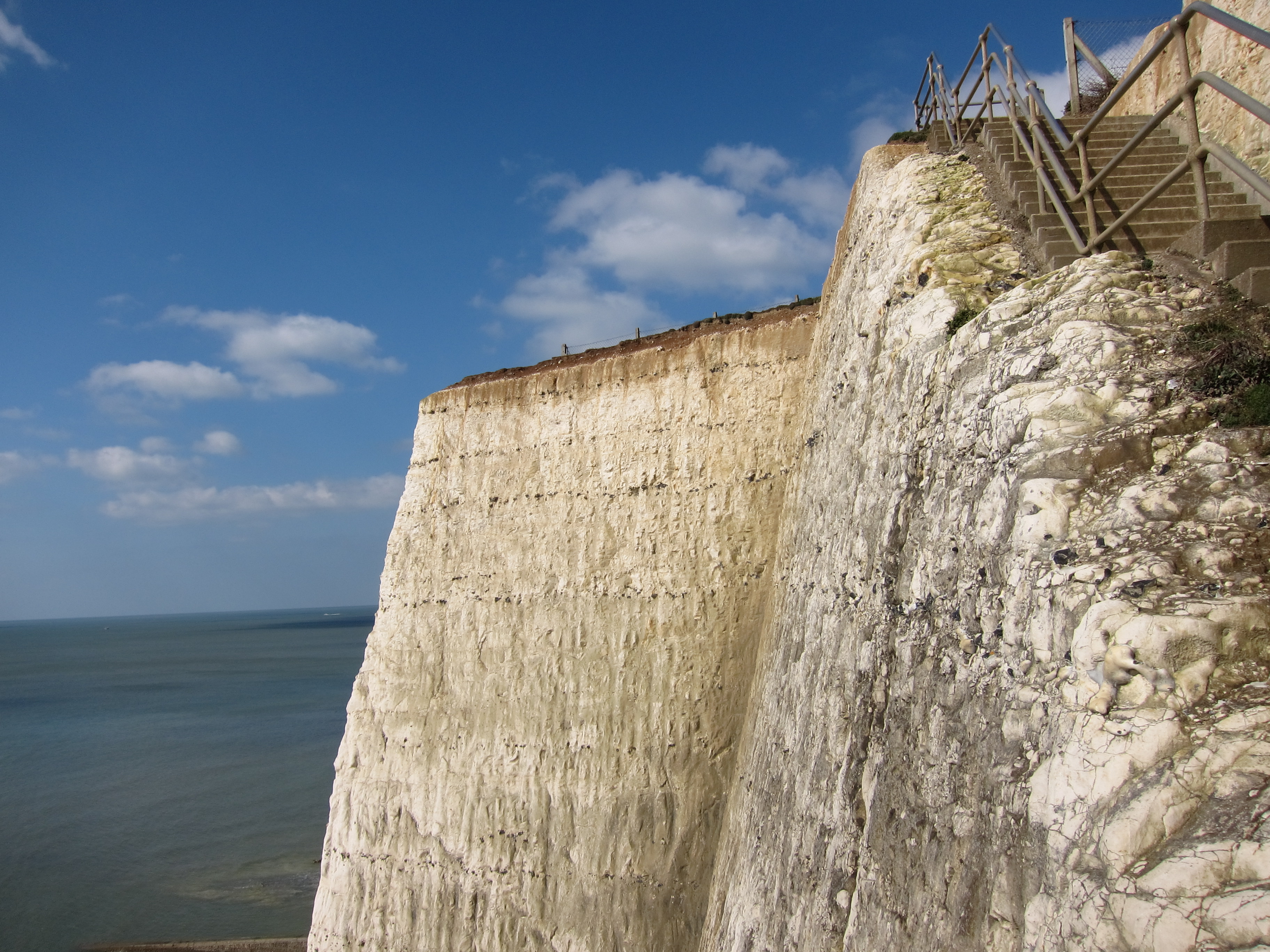
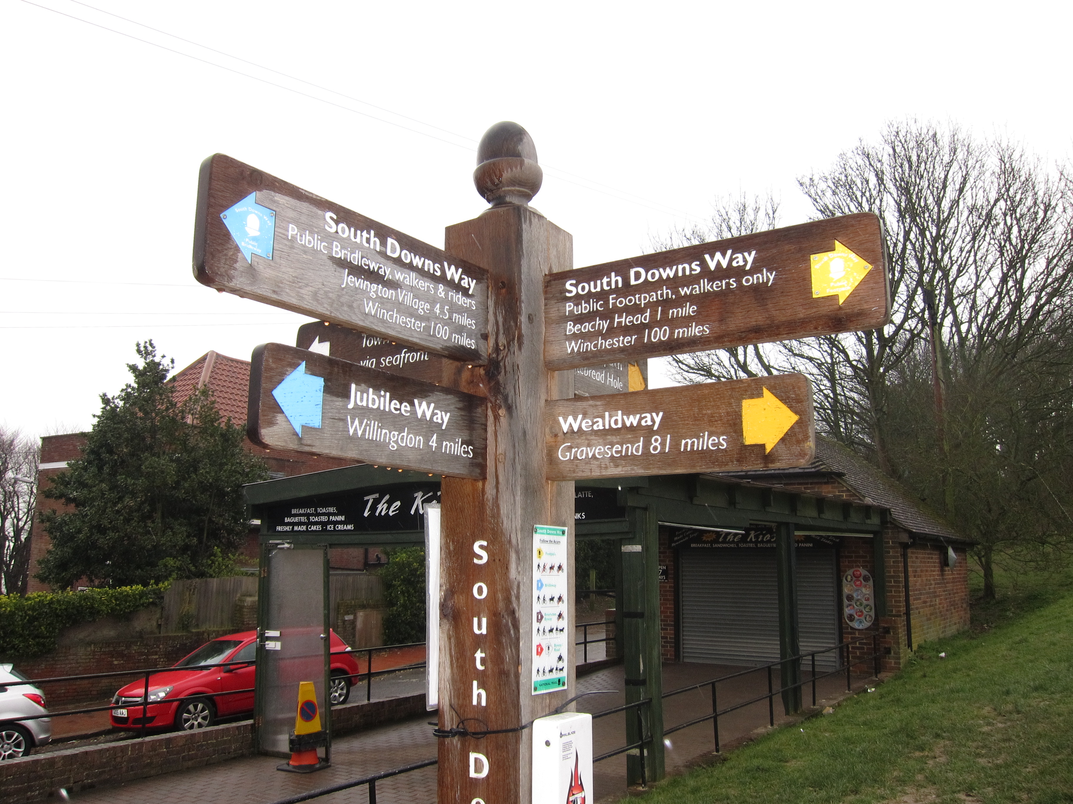
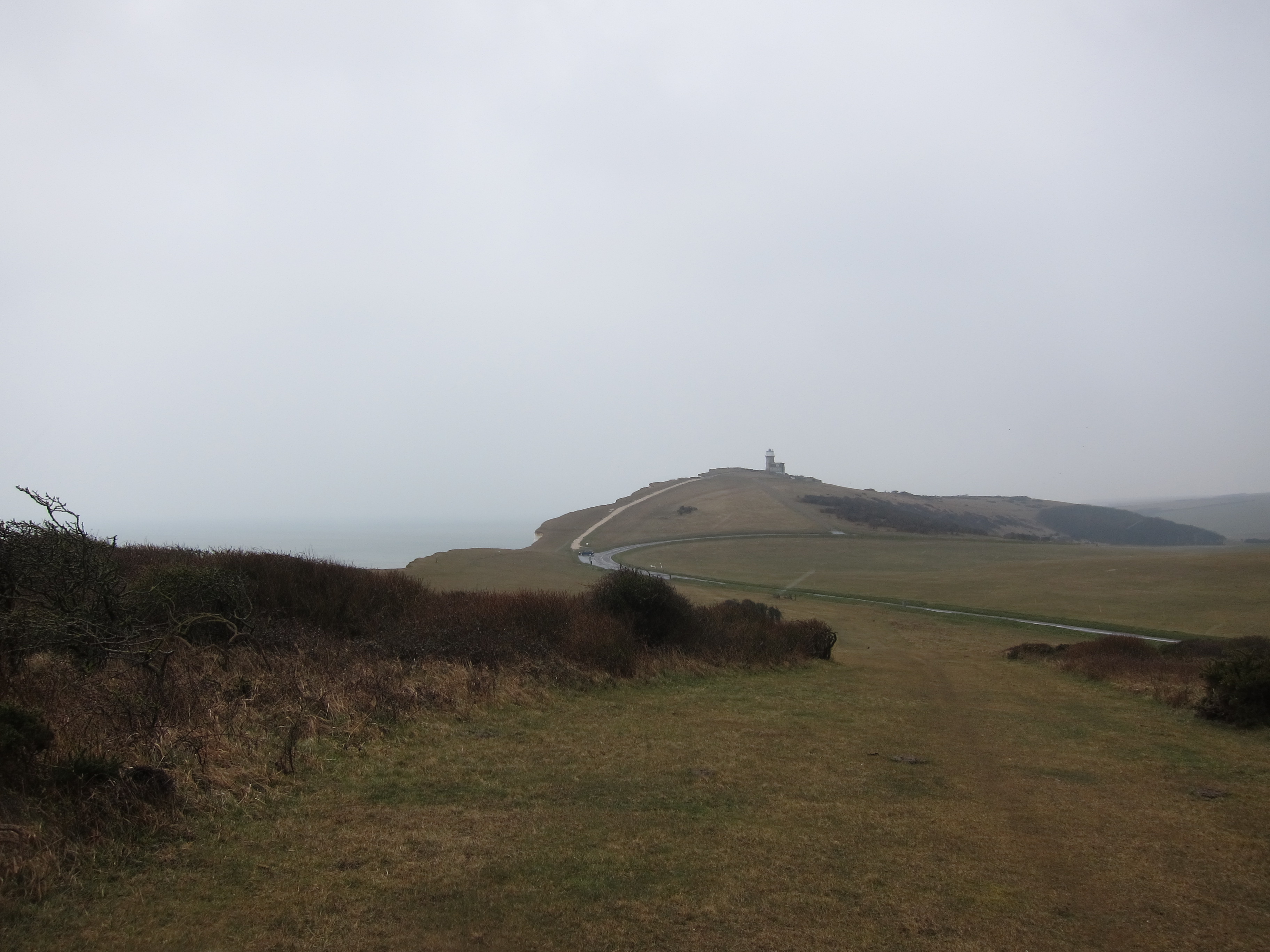
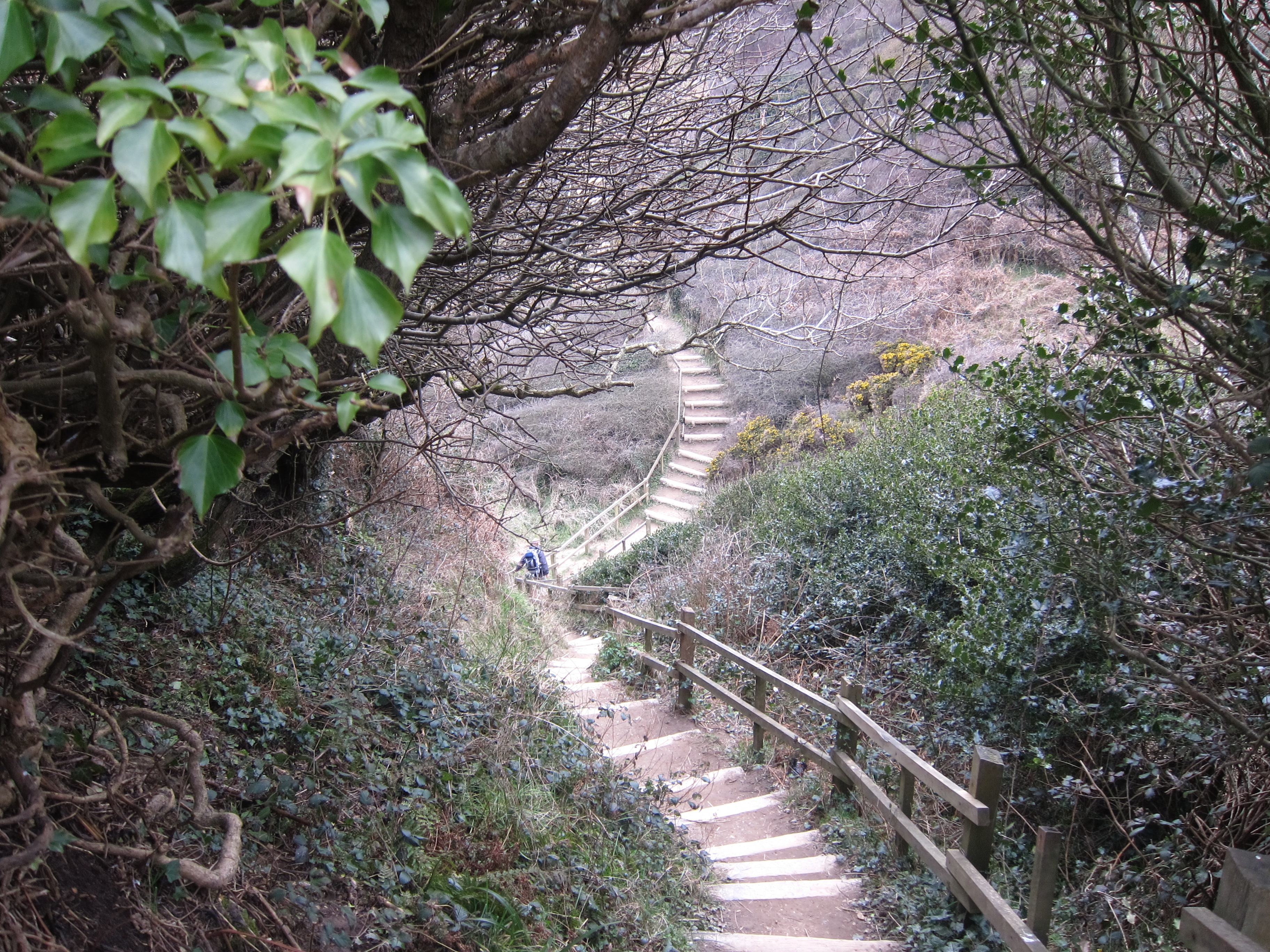
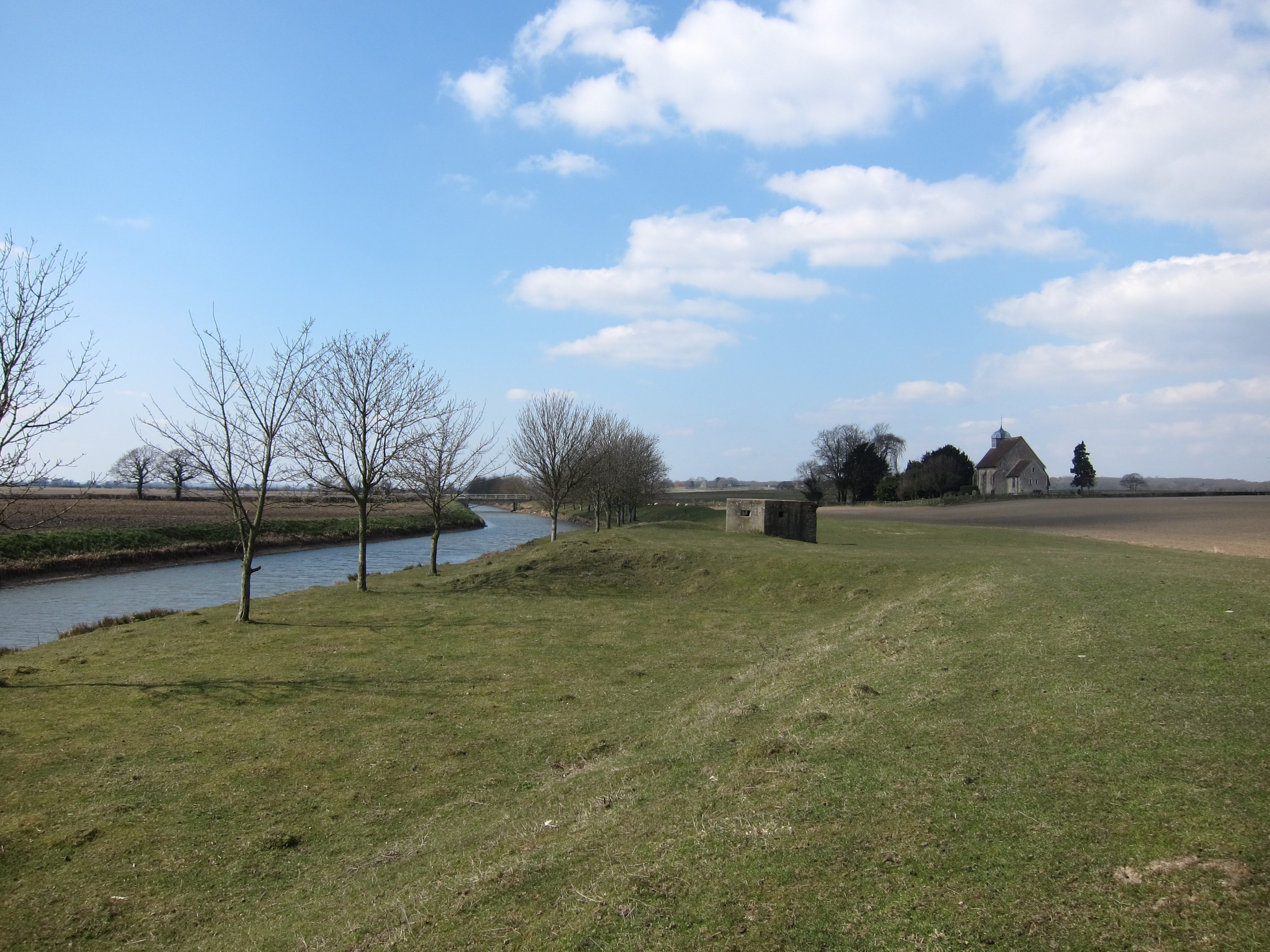
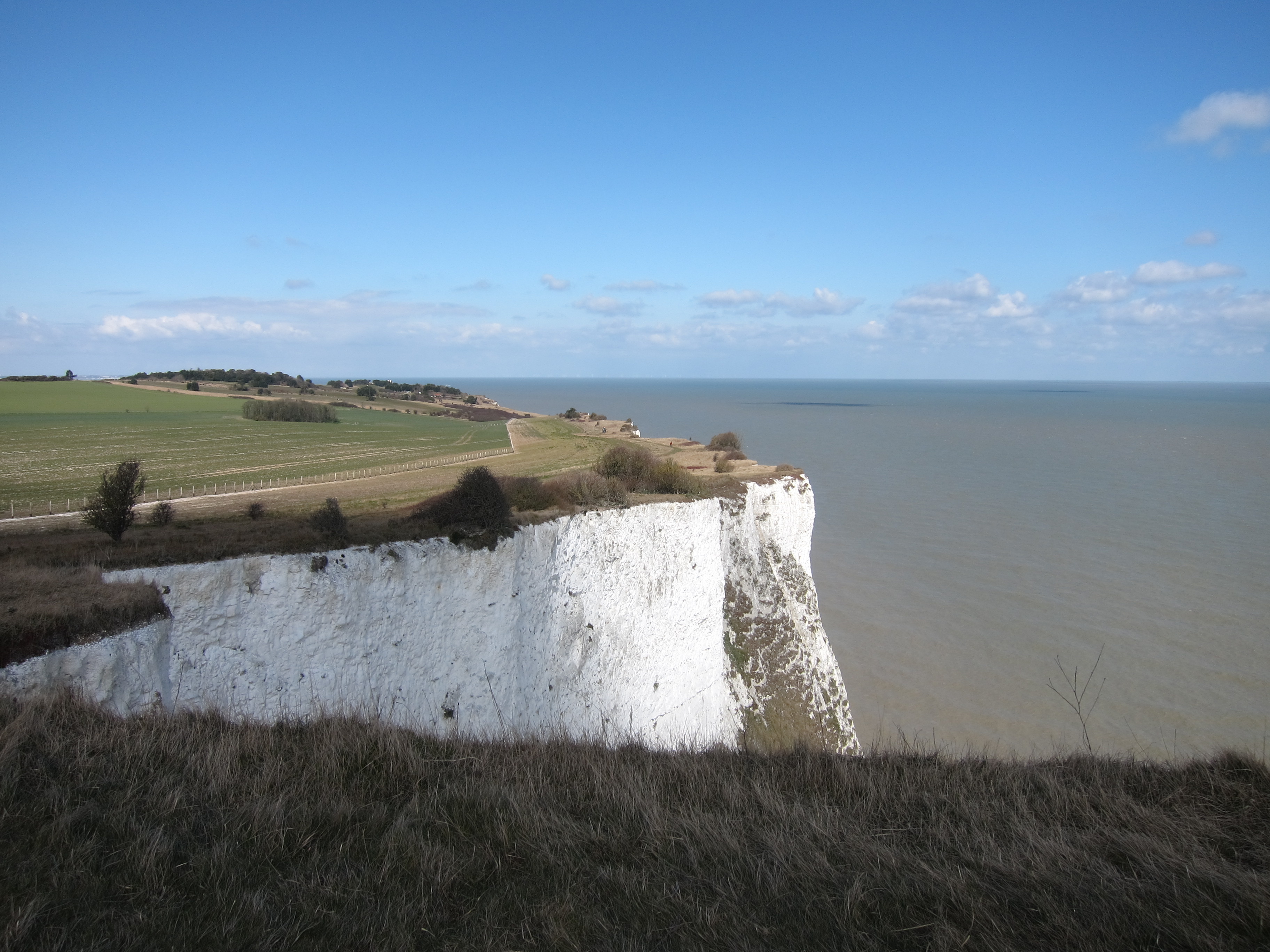
It is possible to walk from Newhaven to Rottingdean on the Under Cliff Path, which is part of the sea defences,  skirting the white cliffs just above the high water mark.  I was surprised to see that the limestone cliffs which I have always associated with the area around Dover extend so far.  We walked for a couple of hours and then had to climb up to the top of the cliffs when the lower path ends.  We took the opportunity to stop for a coffee in a pleasant pub.  After about half a mile there are steps back down to the lower path which continues all the way past Roedean and Saltdean to the marina at Brighton.  This is a largish marina with a very impressive sea wall, along which we took an unintended detour.  We then spent some time wandering around the Marina car park, looking for the path.  Eventually, we came across it, but we also found the Volk Electric Railway which carries holiday makers the mile or so between the Marina and the Pier.  Unable to resist the temptation of a toy train, we leapt on.

I left Chris at Brighton Pier, and continued along the front which wasIMG_3457 
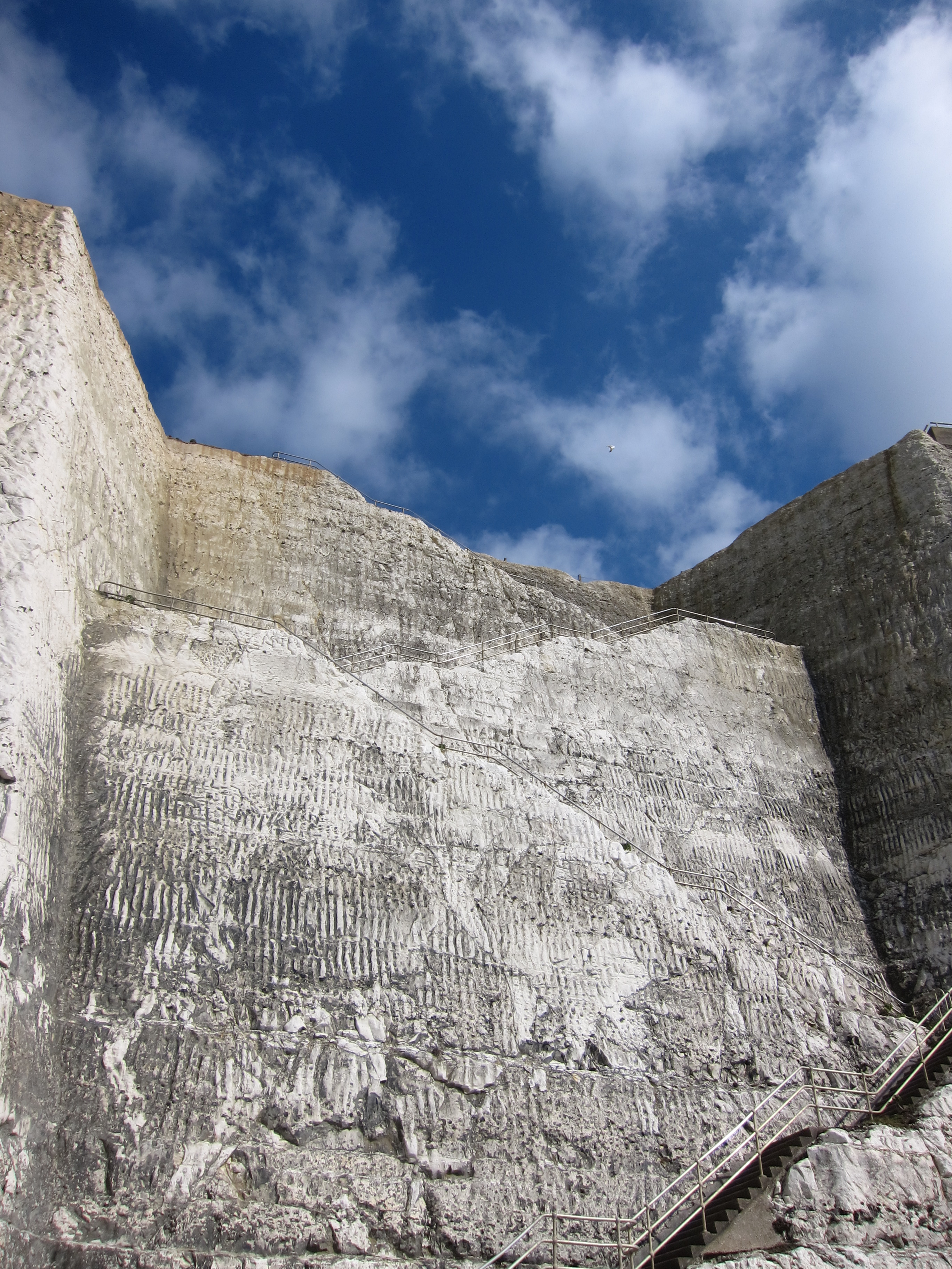
thick with people enjoying the first warmth of the year. IMG_3469 
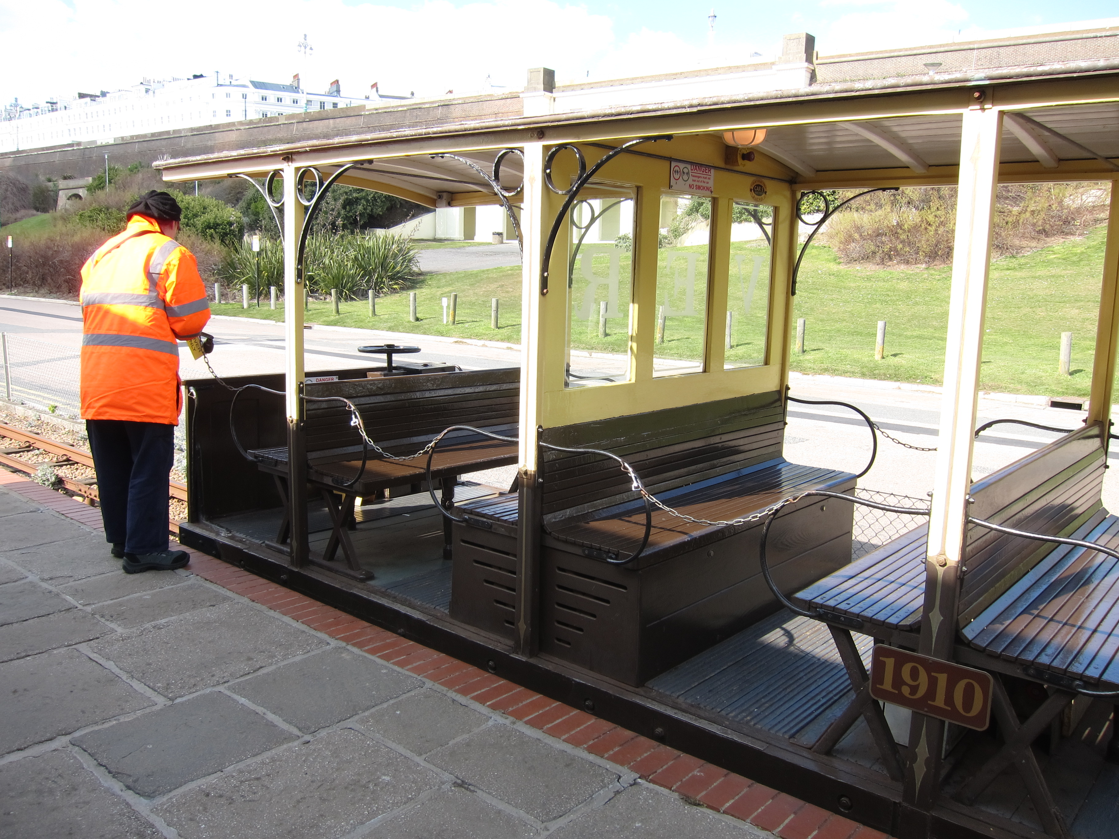
The sea front path continues past Hove, Portslade and Southwick to Shoreham Harbour which is lined with wharves and light industrial units.  I was beginning to tire now, so hopped on the train at Shoreham, arriving back in Eastbourne at about 7pm.

The 10 days have been fantastic and I am already looking forward to the next leg at May Bank Holiday – I need to plan the route in more detail and will upload in due course.  Let me know if you would like to come.

Day 14 5 April 2013 Eastbourne to Newhaven

What a wild day!  Bridget had a few other things to do and Rita had family commitments, so in the end it was just Chris and me (personally, I think Bridget and Rita had seen the weather forecast and decided to bail out!)

We met at Eastbourne Railway Station at about 9.30 and walked back down to the front – a series of hotels of fading Victorian splendour with a Martello tower, now restored and the Life Boat museum on the water’s edge.  IMG_3420Eastbourne is the start of the South Downs Way, and as soon as the end of the prom is reached, the path climbs up onto the chalky headland.  The first notable point is the lighthouse at Beachy Head, a chalk cliff of some 534 ft.  Generally, the view would be stunning as, apparently, one can see from Dungeness to the Isle of Wight on a good day,  but as there was driving wind, snow “flurries” (as the met office likes to call them) and rain, we could not see as much as we hoped.  IMG_3427Nevertheless, it was pretty spectacular.  The South Downs seemed surprisingly bleak.  In the wind, it would be quite easy to imagine one was in the peaks or the high north country.

We ploughed on, the wind blowing us ever closer to the cliff, to Birling Gap.  This is a National Trust outpost, and for one ghastly moment, when we saw it covered in scaffolding, we thought it might be closed, but fortunately it was open and we had a warming bowl of soup and a shortbread Easter Bunny for me.  Foolishly, I had forgotten to put the rain cover on my rucksack so my spare sweater was soaked, and worst of all, my chocolate bar was sodden!

The next geographical feature is the row of cliffs known as the Seven Sisters.  These are hanging valleys left over from the last Ice Age.  The land climbs, then drops in a steep curve, seven times.  IMG_3432Owing to my dodgy knees, I cannot go straight down a steep slope so tacked backward and forward to lose height.   The wind was still howling, but the rain had dropped off.  We met a bemused Japanese man who was heading for Beachy Head, but was wondering if it was safe to progress (we think – we could hardly hear him over the wind),  We reassured him and tempted him with stories of the cake at the National Trust tea room.  Not sure if he will ever get his bus back to Brighton though,

The Seven Sisters lead into Seaford with a final drop, marked “Do Not Climb on Cliff” which we noticed once half way down the steep chalk face.  At this point, there are two choices, go inland up the Cuckmere Estuary for some two miles, cross at the  bridge then walk down the other side, or walk across the shingled estuary mouth to the river, and wade  across.  Chris persuaded me that the latter option was the best.  We took off our boots, rolled our trousers up and waded, knee deep in water so icey it almost made us cry with the pain.  After that, the long walk along the promenade at Seaford past, apparently, the last Martello tower along the South Coast, and up Newhaven Harbour to the ferry terminal seemed uneventful.

Day 13 4 April 2013 Hastings to Eastbourne

Today required quite a bit of grit to get going.  We left the Dover bunker at about 8.45, having had a farewell breakfast in café Illy, and arrived in Eastbourne at 11.15.  It was horribly cold and there was snow on the motorway as we drove along.  I am amazed at how far I have walked in 4 days – next time, I shall change hotels on the third day, rather than the fourth – an hour and a half was a long drive before starting out.  Our hotel in Eastbourne is better in some ways than Gulag Towers – there is wifi in the bedroom for starters and it is right on the sea front in a huge Victorian terrace.  Unfortunately, one person needs to stand outside whilst the other moves around as the room is minute.

Having parked the car some miles away from the hotel, owing to the very restrictive parking regime, I jumped on the train at Easbourne, (carelessly leaving my gloves behind), while Bridget decided to have a day of rest.  I think in future, I will arrange a day of rest after a week, as I was quite tired today.

The train arrived at Hastings within the half hour, and, allowing for a detour to buy replacement gloves (although, fortunately, my old ones had been rescued and tucked into the ticket vending machine at Eastbourne when Bridget kindly went to look for them) I started walking at just on 1pm.  Hastings is not hugely exciting, and its adjacent suburb St Leonard’s is positively depressing – lots of youngish men hanging about with the whiff of illegal substances hovering over them.  IMG_3404I walked along the front to Bexhill-on-Sea, which is slightly more sedate and attractive with the landmark Pavilion building in classic 1930’s style.  Poirot was nowhere to be seen, however there was a Mr Whippy van, with a driver who looked as though he hadn’t had a customer since last August Bank Holiday, so I decided (since it was such a balmy day) to have an ice-cream.  My stomach felt extremely peculiar for at least an hour afterward – presumably the effort to adjust my body temperature to compensate for a chocolate Feast on a day when the thermometer was stuck below 3 degrees centigrade.

All of the shore in this part of the country appears to be shingle – I am not sure why it is so popular, as very difficult to walk on.  Some 3 miles out of Bexhill I reached Normans’ Bay, on the outskirts of Pevensey, where William the Conqueror landed some 950 years ago.  I hope he had warmer weather.IMG_3412

The path then disappeared between rows of 1920s built bungalows and summer houses before drifting unenthusiastically into Eastbourne.  I returned to the hotel to find Bridget diligently working, sitting in the glazed verandah of the hotel.  We went out for an excellent meal (see review.)  I have now completed more than 210 miles!

Day 12 3rd April 2013 Rye to Hastings

Today was planned as a shorter day, after the last two quite long days, however, it was one of the hardest days so far, because of the very hilly coast around Hastings.  The weather continues dry, although there was a brief snow flurry at the end of the day, and the wind is sharp.  For much of the walk we were sheltered on the north side, so did not suffer too much from the breezes.

We set out after a late breakfast in our favourite Dover café, followed by a drive back to Rye.  IMG_3376We continued to follow the Royal Military Canal path, which overlaps in part with the Saxon Shore Way.  After some 3 miles of walking (down Dumb Woman’s Lane!!) we reached the gorgeous town of Winchelsea, up on a bluff, overlooking the coast.  The town itself, once directly on the coast, still has three mediaeval gates, and the remains of St Thomas’ Church, destroyed by the French in the middle ages.  We stopped for lunch (see review) then continued along the flat canal path to Cliffs End on the coast.  This is where the pain began! The path climbed up to Fairlight (a very dull dormitory town of bungalows, reminiscent of the older suburbs of Sydney with pristine bungalows and elderly men mowing already neat grass) and then to the top of the cliffs at the Hastings Country Park.  IMG_3387For 5 miles the path climbed up a cliff, then dropped sharply down to a ravine, then up another cliff, and down again.  Bridget’s feet were suffering and my knees were getting very fractious by the time we arrived in Hastings.  The old town has some rather nice buildings, including some interesting sheds which apparently are used for making, storing and drying fishing nets, but the majority of it is faded Victorian seaside with amusement arcades at every turn.

I have now completed the whole of the Saxon Shore Way, from Gravesend to Hastings.

We took the train back to Rye, where we had an excellent dinner, before returning to Dover for our last night in Gulag Towers.IMG_3398IMG_3394

Day 11 2nd April 2013 West Hythe to Rye

We set off from Gulag Towers, after breakfasting in Café Illy again and parked the car at West Hythe, where we finished yesterday, prior to our detour to find some supper.

We decided to stick with the canal route along the Royal Military Road because we thought it would be much pleasanter than going on the road down to Dymchurch and then road all the way to Rye.  It turned out to be an excellent choice.  The scenery did not vary hugely, but it was pleasant and easy walking beside the canal, sometimes with an avenue of trees to protect us from the evil north-east wind, other times across the edge of wide open fields.  We saw a couple of herons, and also several swans, sitting in the middle of fields, which seemed odd, as I had assumed that swans nested on water.IMG_3332

The Royal Military Road and canal stretch  for some 28 miles, with a pill box overlooking a dog leg in the canal about every mile, and a crossing every 2 – 3 miles with the old crossing keepers’ cottages still in evidence.  On the inland side (north) a series of mediaeval churches lined the route, and to the south the expanse of Romney Marsh stretches down to the sea.

We stopped for lunch in the churchyard of St Rumwold’s, Bonnington an absolutely gorgeous little church dating from the 13th century.  IMG_3337The wind was still fierce, but we sat on the West side to chomp our way through a bag of olives and some cheese and tomato – not forgetting the pistachio nuts and the Green & Black’s chocolate.

Inside the church much of the structural woodwork was still visible, including the stairs up to the bell tower.IMG_3335

The path continued to meander beside the canal.  The sun was warm on our faces, and there was hardly a cloud.  We arrived in the quintessentially English village of Appledore at a few minutes to four.  We had been fantasizing about the possibility of finding a quintessentially English tea shop, and that is just what was there – Miss Mollett’s tea rooms.  Unfortunately, she closed a few minutes before our arrival so we were constrained to visit the pub instead, where Bridget sampled the local ale – apparently very good.

Next to the pub was the church of St Peter & Paul, which was another beautiful mediaeval church – rather larger than St Rumwold’s but no less attractive.  IMG_3347The parish ladies sell jam and various other items of local produce in the church to raise funds for restoration, and Bridget purchased a chocolate Easter nest.

Next to the church, an elderly lady was gardening – the whole village looked like a set for Miss Marple.

We arrived in the charming town of Rye just before 7pm.  Rye is another of the Cinque Ports, on the very edge of Romney Marsh, home to smugglers and immortalized in the weird tale of Dr Syn.   Unfortunately, the hospitality is less charming than the architecture.  In our first choice we were told the place was completely reserved, but we formed the impression that our less than pristine appearance made the waiter fear that we would lower the tone.IMG_3369  The other pubs seemed equally full of reluctant staff.  Eventually, we had a good meal at the ancient Mermaid Pub – dating in parts from 1156 and rebuilt in 1420 after the French burnt it down in 1377.  It is extremely pIMG_3362icturesque, perched at the top of a cobbled lane but a bit self-satisfied.

We took a taxi back to West Hythe to fetch the car and were pleasantly impressed by how long the journey took.

Day 10 1st April 2013 – Dover to Lympne

What a day!  We set out latish as we needed to finish a report for work before leaving.  Having eschewed breakfast in Gulag Towers, we managed to find a nice café for a full English before beginning the walk at about 10.50.  Heading out of Dover, there is a climb up an almost vertical stairway to the redoubt on the West side of the town.  Continuing on the Saxon Shore Way, we walked high above the White Cliffs for some 5 miles, with the first up and down hill of the walk.  IMG_3290

After about an hour and a half Folkestone came into view, with the harbour pier visible in the distance.  I decided to take the Saxon Shore Way inland along the top of the escarpment behind Folkestone, rather than to drop down to the port.  I have had enough, for the time being, of road walking along the water’s edge, and the view from the top of the cliffs was excellent.  IMG_3292

The war memorial to the pilots of the Battle of Britain above Folkestone was both impressive and moving.  It is a simple statue of an airman in the centre of a propeller, formed by coloured bricks, looking out across the Channel.  Behind the statue is the monument to some 3,000 young Allied airmen killed in the period July – October 1940.IMG_3308

Continuing, we crossed the A260 and then climbed up to what appeared to be an Iron Age hill fort, although it is marked on the map as Caesar’s Camp, directly overlooking the Channel Tunnel terminal – a truly remarkable feat of engineering.  Everywhere along this stretch of coast there is evidence of military action and defence, from the astonishingly grand Dover Castle, to the strange sound mirrors and Martello Towers that punctuate the landscape.

We dropped down off the escarpment and under the Channel Tunnel rail lines then over the M20, then headed back towards the coast on the Elan Valley Way.  It was now late afternoon, and very pleasant, although the East wind was still chilly.  We arrived in Hythe at about 5 o’clock and walked along the pleasant, mediaeval high street.  Another of the Cinque Ports, Hythe is full of naval history.  We followed the Royal Military Canal Road out of the town, heading directly west.  IMG_3325Built in the period 1804 – 1809 to ward off the French, the Royal Military Canal is apparently the longest defensive work in the UK, after Hadrian’s Wall and Offa’s Dyke.  You can find out more at http://royalmilitarycanal.com/pages/index.asp Walking along the canal in the evening light was very pretty.  The original plan was to walk to Dymchurch, but, having taken the inland route around Folkestone, that was too far, so we planned to stop at the pub at Botolph’s Bridge.  Unfortunately, arriving there at about 7pm, we discovered that it is closed on Mondays.  Aaahhhh!  Our only alternative was to retrace our steps to West Hythe and then walk a further mile (up a very steep incline in the dusk) to reach Port Lympne, where we fell into the pub (the County Members) desperate for food and wine.

Day 9 31 March 2013 Sandwich to Dover

Sandwich is an absolute gem of a town.  I left the car there and picked up the Saxon Shore Way again (having left it at Reculver on Friday.)  The path goes along the old town walls of Sandwich which surround the town in a raised walkway, with the river Stour and its various tributaries running alongside.  The first part of the wall walk is known as the Butts as it is supposed to be where the men of Sandwich practised archery after Church on Sundays.  Allegedly, Henry V’s longbow men sharpened their skills here before departing for Agincourt, via Honfleur (with which town Sandwich is twinned – I am not sure if in an attempt to lighten the memory of the endless English-French wars or as the result of a total lack of historical sensitivity).  More information about the Cinque Ports can be found at http://www.cinqueports.org/

I strolled along, enjoying the bright sunshine and the spring blossom, watching the courting ducks and being amazed at the wide variety of dogs being walked – incidentally, since when have coats become de rigueur for dogs?

After leaving Sandwich, the path goes directly back to the coast, over a golf links.  The sea looked very grey and a harsh east wind sprang up as the sky clouded over.  To my left, I could see Ramsgate, and to the south, Deal.  The path goes straight along the shingle for several miles until Deal is reached.  Not much to say about Deal – another shabby seaside town, whose history is inextricably linked with Nelson and the Napoleonic wars.  Apparently the British fleet was anchored in Deal Downs, and Nelson stayed often in the Royal Hotel (accompanied by his great friends, the Hamiltons!).  The remains of Sandown and Deal Castles punctuate either end of the promenade.  The former now concreted into the retaining wall, the latter still looking pretty intact. IMG_3267

Walmer is a continuation of Deal, but once you are through it, the path climbs up onto the top of the cliffs, and the next 8 miles were an absolute delight.  As I turned South-West, the East wind dropped and I could feel a much warmer South-West wind on my face.  The sun came out and I peeled my neck warmer and gloves off for the first time since the walk began in January.  Down below, I could see the ferries going in and out of Dover, and on the far horizon, the shores of Normandy.

The path drops down to the shore at St Margaret-at-Cliffe, where there was a massive cliff fall last week – you can see the chalk heap in the sea (picture.)  This tiny port is the closest point to France, and is the place where the cross-channel swimmers start their crossing.IMG_3269

Back up onto the cliff top and a lovely stretch to Dover – hundreds of people around enjoying the first Spring sunshine.

I took the 17.03 back to Sandwich to fetch the car, and am now waiting in the (absolutely dire, 1970’s concrete monolith) hotel for Bridget.

Day 8 – 30th March, Margate to Sandwich

I escaped from the Irish landlady after being grilled at length about yesterday’s activities – fortunately, another new guest came into the breakfast room and need to be interrogated about his work, his home, his wife, children and ancestry, allowing me to nip out.

I emerged into a completely grey atmosphere, with a strong east wind blowing a fairly heavy snowfall up and down the promenade.   I walked the mile down to Margate station to meet Rachel, and, happily, by the time we set out at 10.15, the snow had stopped and the sun was beginning to shine.  We walked along the beach front through Margate and Cliftonville, varying between walking on the sands, the elevated promenade, and, occasionally, when the sea came too close, climbing the stairs to the cliff tops.

Far out to sea, we could see the North Kent wind farm, and a stream of container ships.  The sky became black and we were battered for about 15 minutes with a vicious wind and stinging hail.  As we passed the north-eastern tip of Kent at Foreness, and turned south to Kingsgate and Foreland, the wind eased.  We stopped for a quick cuppa and handful of nuts in a pub car park in typical British holiday maker faIMG_3216shion.

The cliffs became whiter and higher as we walked on, looking like the classic iconic view of the White Cliffs.  We reached Broadstairs at lunch time and stopped at a pub on the beach (see review) and then continued along the front to Ramsgate.  Definitely classier than Margate, Ramsgate has a largish harbor with a mix of yachts, speed boats and cruisers.  With the sun shining down it was almost tempting to put to sea. IMG_3217 On past the sands at Pegwell Bay, we went, with the sun now shining quite strongly. IMG_3210 The last 2-3 miles into Sandwich were a trudge, beside a road and through an industrial site, but we were rewarded with the lovely Cinque Port town of Sandwich, with its ancient tollgate and superb mediaeval buildings.  We fell into the first pub for an excellent supper (see review) and then got a taxi back to Margate.  The driver was another character.  One of the few women taxi drivers I have met, she drove like a maniac and made my Irish landlady seem quite reticent in asking personal questions.  However she didn’t just ask questions but shared an awful lot of information as well.  I learnt that she knows Tracey Emin, that, very sadly, she was abused as a child and the perpetrator got 2 years in gaol.  She is married to a Muslim who is very moody, and that she would like to travel across America.  Exhausted, I got back to hotel Salubrious at around 8.30.

Day 7 Herne Bay to Margate

Sitting in Hotel Salubrious, after an excellent day.  The hotel is not so bad – clean and with decent sheets, but no pretensions to grandeur.  No appeal to my conscience to reuse my towels: instead there is a sign saying that, for guests staying Saturday to Saturday, towels will be changed on Tuesdays and Thursdays.  For guests staying Monday to Friday, they will be changed on Wednesdays.

The other guests appear to be working men who stay here during the weekend and then return home at weekends.  The elderly Irish lady who appears to be the owner was clearly desperate to know why I am here.  Eventually, she came straight out and asked me, and I then heard her repeating every detail of my walk from yesterday in the kitchens.

I took the train up to Herne Bay and met Beth.  We started walking around 9.30 – right down on the water’s edge, and at Bishsopstone round the base of the cliffs on the beach.  At some points the sea was so rough that we took the cliff path back up to the road lest we be swept away.  In particular, the stretch between Birchington and Westgate was very wild.

Our first landmark was the ruin of St Mary’s Abbey at Reculver – originally an Anglo-Saxon monastery founded in 669 AD by King Egbert of Kent, constructed on Roman foundation, then extended in the 12th Century.   The Roman walls from the fort of Regulbium were still visible in parts.  The majority of the Abbey was dismantled in the 19th century, but the towers were left as an important navigational landmark, and indeed they were visible in both directions for most of the day.  The Roman walls were covered in a plant they introduced and were fond of eating, known as alexanders, similar to celery with yellow flowers.

At Reculver, the Saxon Shore Way goes inland, and the coast path I am now following is the Thanet Coast Path.  Apparently, at the time of the Romans, Thanet was still a completely separate island, with a channel a mile wide between it and the mainland, nIMG_3184ow the River Stour.  .

Didn’t see much in the way of wildlife, just one fabulous flock of ducks (or maybe oyster catchers) is the air, wheeling and swooping, presumably looking for a roosting place.  We arrived in Margate, which apparently became popular after the 1753 invention by local glovemaker Benjamin Beale, of the covered bathing machine, at about 2.30 and found an excellent tea shop (see review).  We then had time to visit the Turner Contemporary Gallery – a really interesting piece of architecture with a superb sculpture by Juan Menoz (picture).IMG_3195  As we came out the sun was streaming down onto the sea – hopefully a sign of better things – although the wind is still fierce.IMG_3201

Rachel has texted me that she is joining me tomorrow for the walk to Sandwich.