
I am sitting in probably the cleanest pub bedroom I have ever seen! It is agonisingly clean! There is not a speck of dust or dirt anywhere in the entire establishment. The downside is that it is very close to the docks in Harwich and the clients are a little more grubby than the pub!
I have had a very pleasant day – not difficult, some 17.7 miles, mainly along hard surfaces (which is not so comfortable for the feet) from Point Clear near Brightlingsea to Walton-on-the-Naze. Naze apparently has the same meaning as “ness” in Dungeness or Shoeburyness. It is derived from the Saxon naess and means a promontory or headland.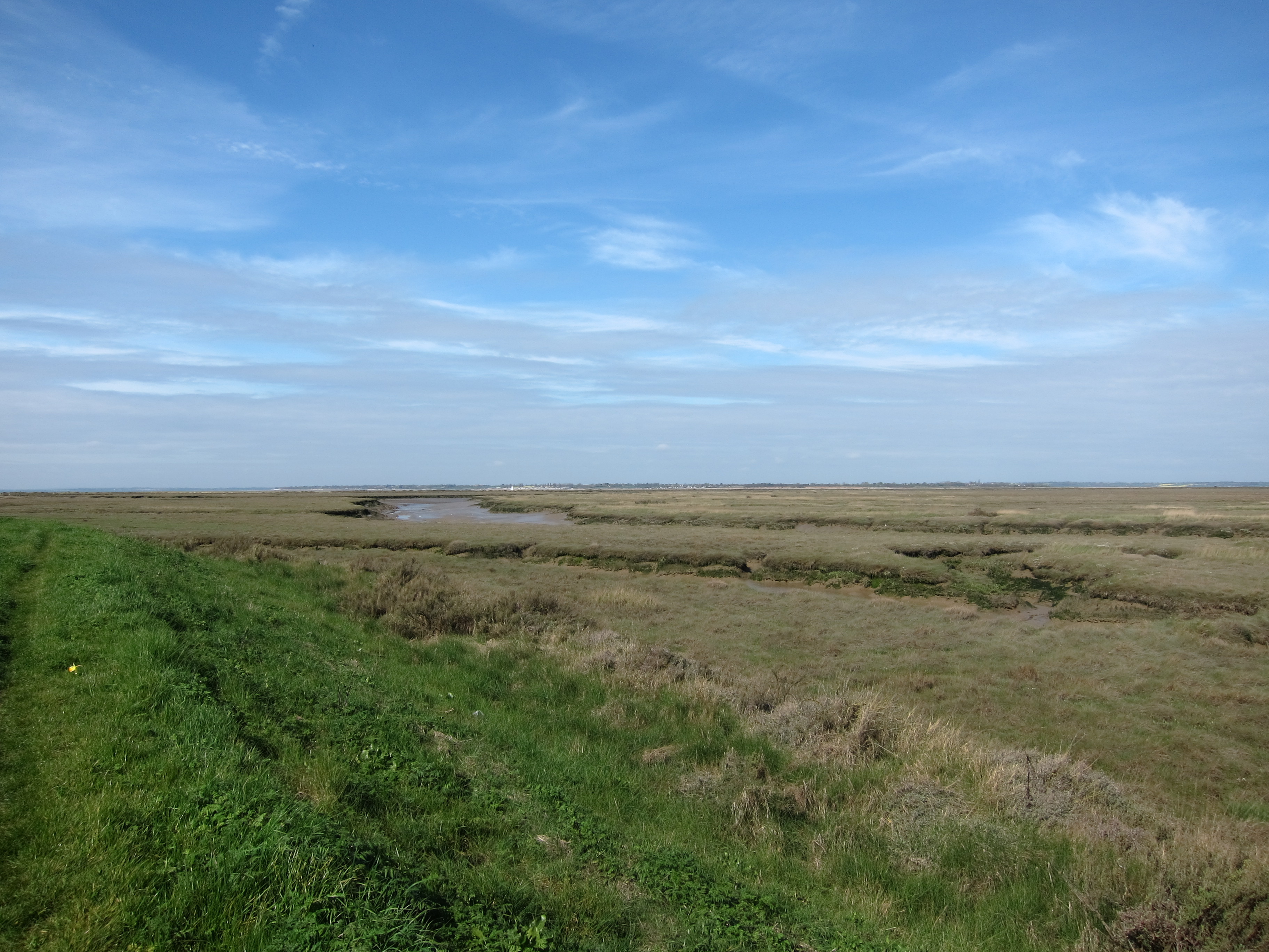
I hope I won’t upset the strict-minded amongst you, as I have skipped a bit from Salcott, in order to do that on Good Friday, in company with Rita and Chris who have promised an excellent lunch at The Shed in Mersea.
I started at Point Clear at just after 10am, parking up near one of the vast caravan sites in the area. Ten minutes’ walk took me through the village, then I turned down a lane, through a farm and along a track, before hitting the sea wall again, just before Lee-on-Sands. I wended along that for two or three miles, accompanied by a random black Labrador, who spotted me as a likely walking companion and danced along ahead of me, until he reached the end of his territory and turned back. I then came to Jaywick.  Suffice to say that I shan’t be selling up to move there any time soon, even though it does overlook the sea: although, to be fair, it is better than the Isle of Grain.
I must say, it was good to be on the actual sea shore again – I haven’t, in fact, been walking on the coast since Tom and I finished at BradwellWaterside, back in December: my most recent outings have been along the Blackwater estuary. 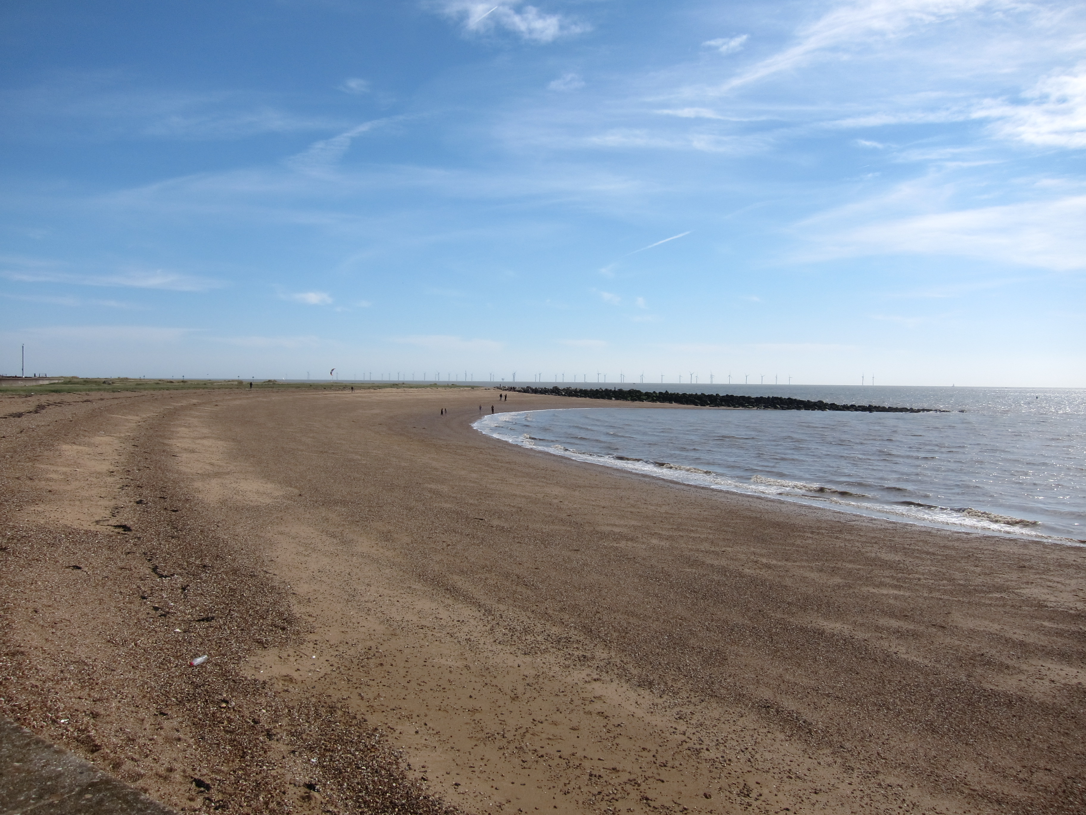
Once past Jaywick, there was some marginal improvement in the built environment through Clacton, then a further gentle increase in liveability in Frinton. The weather was exceptional – I was walking in shirt sleeves, and it must have reached 18 or 20 centigrade, despite a forecast of showers which never materialised.
The coast off Frinton is dominated by a large wind farm, which I found rather mesmerising as the blades spun lazily in the moderate breeze. In due course, I arrived at Walton, where I had an excellent tea (see review), before making my way up to the Naze. The tower originally built in the eighteenth century as a seamark is an interesting feature, as are all the WWII pill boxes. Erosion is rapidly changing the coast – the tower, originally 200 yards from the cliff edge is now only 50 yards inland as the sea creeps up some 2 yards each year. One can see some of the pill boxes have already tumbled into the ocean. My map has not kept up with the changes and I ended up walking in circles, rather than getting as close to the sea as I would have liked. I took a taxi back to the car, rather than the Sunshine Coast railway (as the route from Walton is apparently called) and drove to my B & B in Harwich.
