
Today has been a long day – 17.25 miles.
It rained heavily in the night but when I left grim B&B after a miserable breakfast of yellow cotton wool on toast, the sky was blue and the temperature very reasonable. The earliest bus I could get, being Sunday, was 9.25am. Having looked closely at the map, there was really no possibility of getting back to the sea front much before Immingham – the coast is a long line of factories and logistics plants. The bus deposited me at around 10.15 and there were a couple of miles to walk along a main road, before turning off into a lane, leading down to a public footpath, that, in theory, after a further 3/4 mile, and crossing the railway, led to the sea front.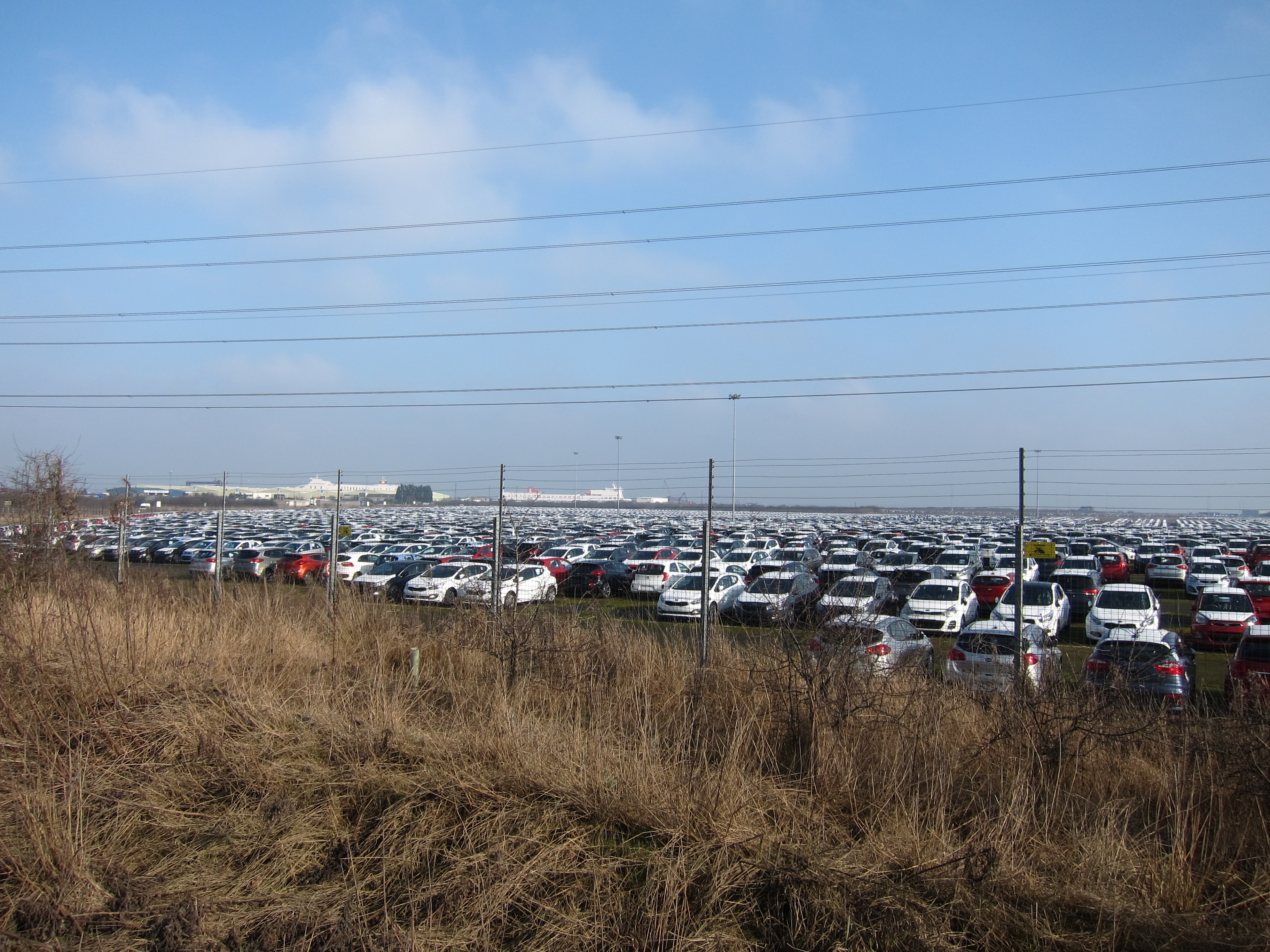
Aggravatingly, my map must be out of date (although I only bought it last week) as the path came to an abrupt halt at the railway with no possibility of crossing whatsoever. Even If I had been tempted to cross (I knew there were no trains on that line on Sunday, as I had considered it as alternative to the bus), there was a line of giant pipes and a very high, brand new metal fence. I could walk parallel to the railway line for a bit, but in due course, the gas pipes swung round and there was no alternative but to go back to the road, and follow it to Killingholme, which is a huge container terminal. Two enormous ships were disgorging their contents, and there was a permanent buzz of lorries and smaller vehicles with containers. Once there, the public footpath followed a narrow alley between enormous compounds full of cars. My feet were feeling a bit achey as I had now walked five or six miles on tarmac, but there was no improvement to be had for several miles, as although the path turned to face the sea, it continued as a concrete strip. At last I could see the Yorkshire side of the Humber Estuary. The sky had clouded over, and everything was hazy, but there was no mistaking the factories and chimneys on the distant bank.
Eventually, the hard track ended, and was replaced by a grassy bank, which carried on for several miles, turning west at last. I was looking forward to my first sight of the famous bridge, but the cloud had come down low and there was nothing to be seen. Eventually, out of the gloom, I could just about discern the suspension pier on the far bank. After that, it became clearer gradually but it was one of those faintly depressing situations where you walk and walk but the landmark never seems to get any closer….
The last five miles turned inland again, through a succession off muddy fields, with a strange mixture of rural and industrial buildings. I tried to imagine what the huge sheds could be used for, but there were no markings, no people, no goods in the yards, in fact, nothing but a sinister hum of machinery emanating from them.
Almost all of the houses in the village I passed were for sale. This did not surprise me – what did amaze me, was that anyone had bought them in the first place!
Barton on Humber is a fairly workaday town, but it does have two very interesting churches. One, St Peter’s, has an exceptionally fine stone Saxon tower, quite a rarity.  The other, St Mary’s, was just a good example of English Perpendicular.
I am staying in a pub, which is nice enough, but ludicrously expensive. I suppose because it seems to be the only accommodation in the whole town.
