Day 35 – Rochford to Canewdon 20th October 2013

IMG_4884Today’s weather was almost the opposite of yesterday’s, warm and quite sunny during the day with an absolutely tremendous squall towards the end of the day that left us soaked to the skin.

I met Tom and Chris at Canewdon, and then we drove back to Rochford to continue walking along the banks of the Roach, but this time on the north side.  I was thinking how unpleasant the name “Roach” is, but Tom assured me it was named for the little fish, rather than the scuttling insect, which made me like it better – although it would be more interesting if it were named after the illegal substance…. perhaps all of the fishermen of Rochford sit on the banks in the summer puffing away on bhang.

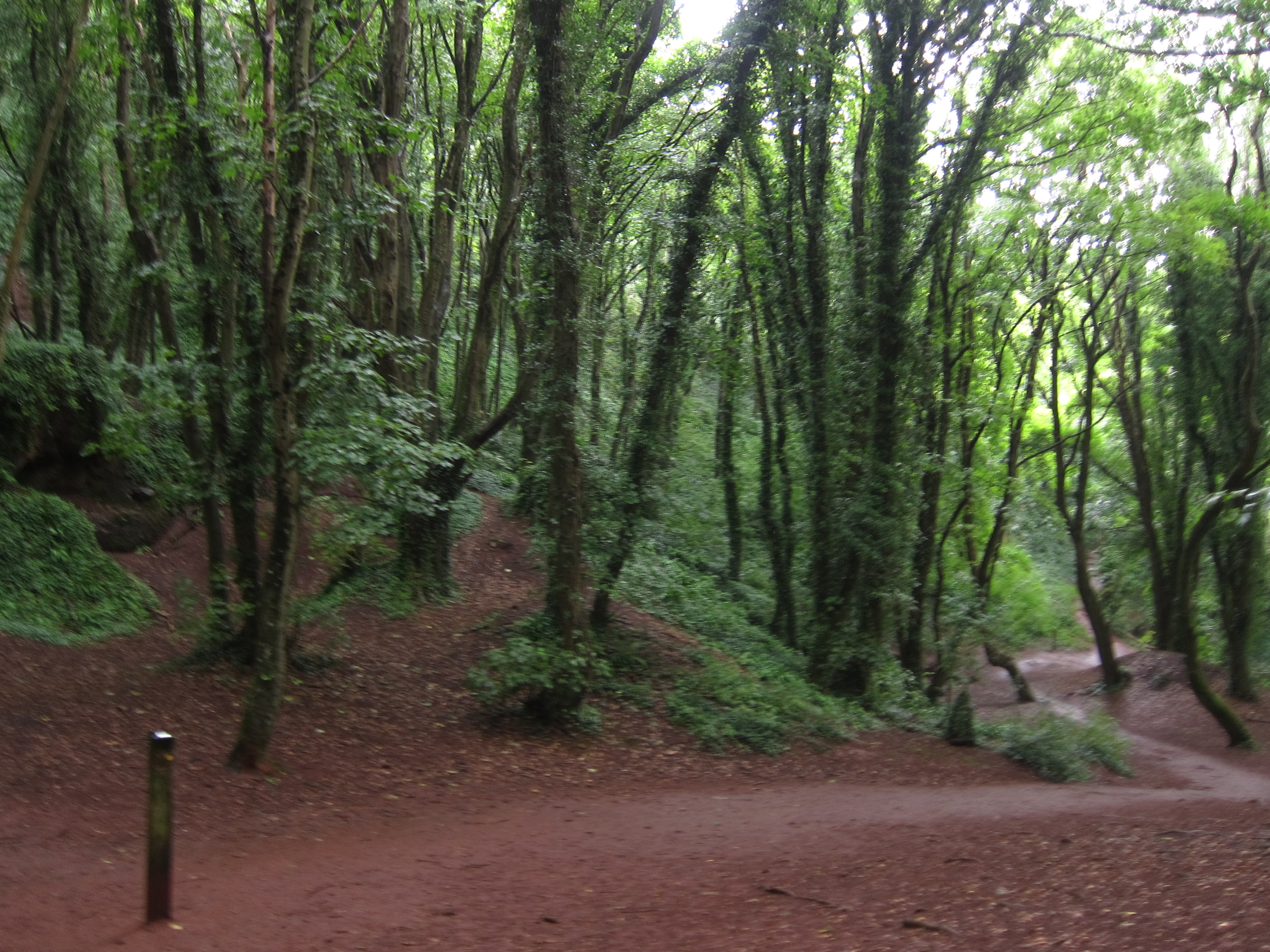
The path continued much as before, up on the embankment a few feet above the salt marsh, which had a tasteful collection of shopping trolleys and old junk visible nearer the town.  There were very few houses, but quite a lot of boats out in the main channel, which Chris and I recognised from yesterday.  To break the day up, we stopped at the village of Paglesham Eastend for lunch.  There is a little boat yard there and we were delighted by a half rowing boat that has been ingeniously turned into a little sheltered view point.IMG_4891

The pub was run by an absolute dragon of a land lady who was extremely harassed by the Sunday lunch rush.  We were so intimidated we had to take it in turns to make our various requests as each of us had to retire after receiving what Pooh might have referred to as a very hard stare indeed! IMG_4894

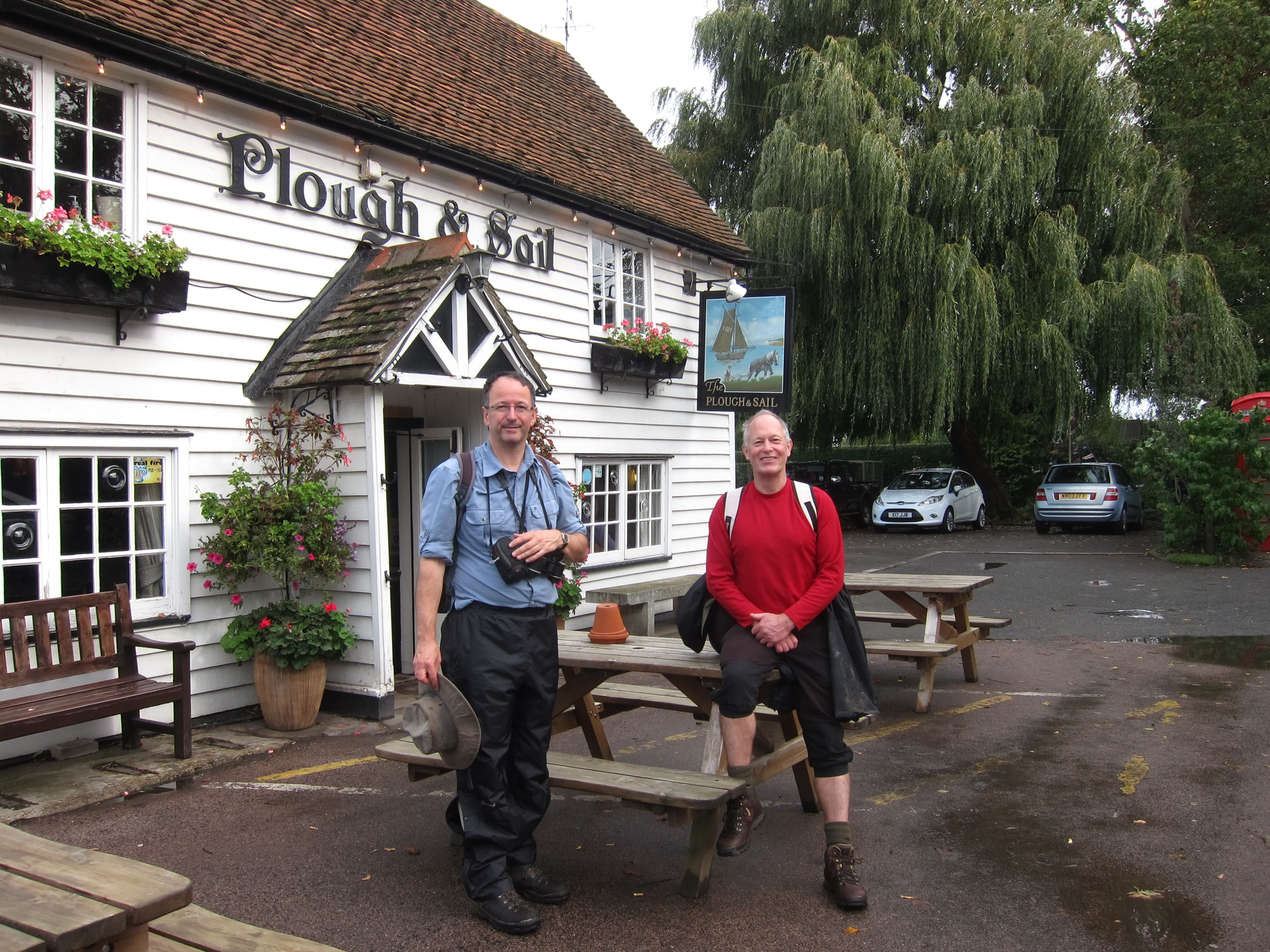
Munching on our excellent roast beef sandwiches outside the pub, we got chatting to a gentleman who seemed to know a bit about everything.  He and Tom were soon deep in a discussion on the military tactics of Boudicca.  This meant we left the pub a little later than intended, but as the day was only 15 miles, it didn’t matter.

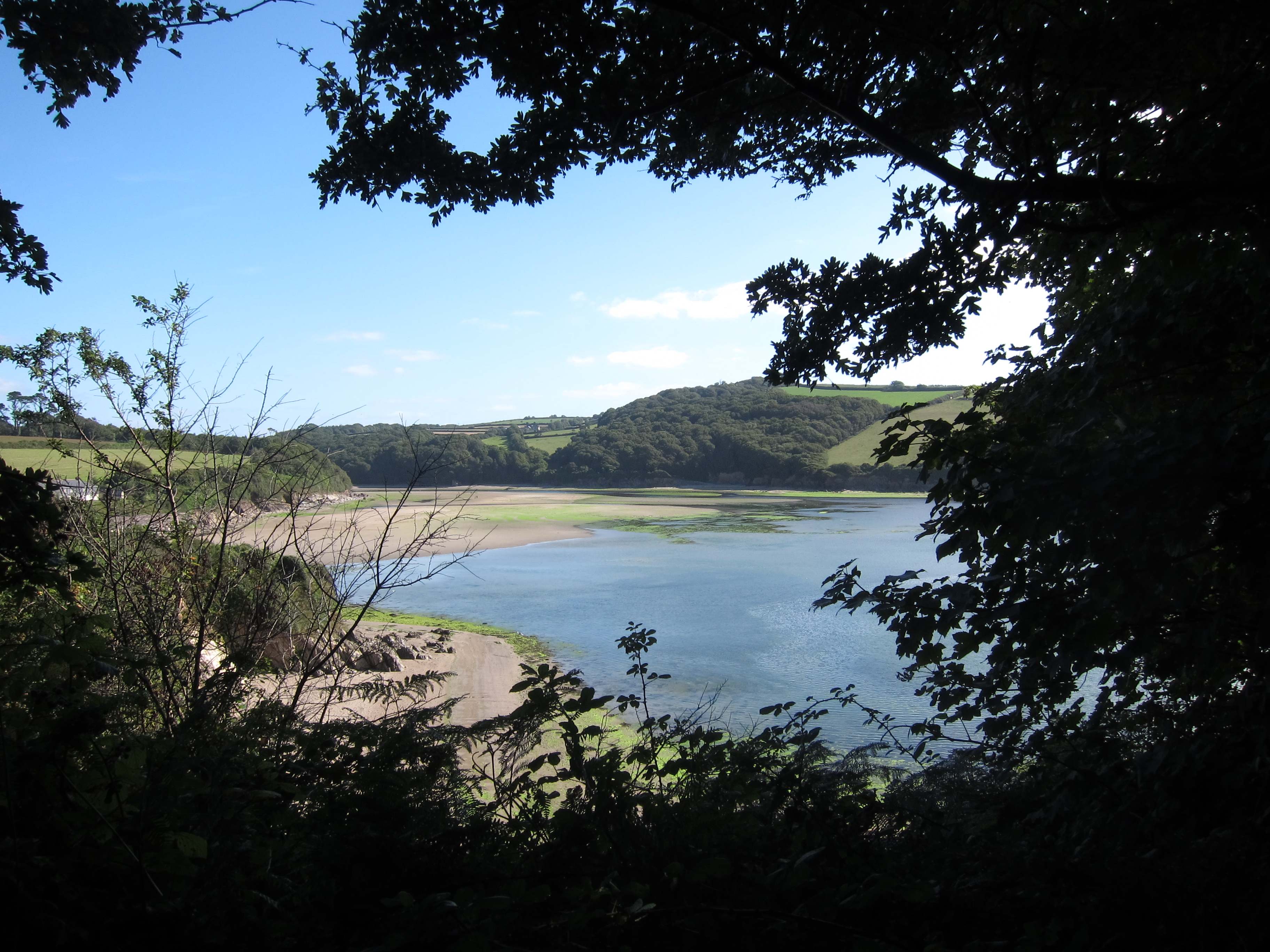
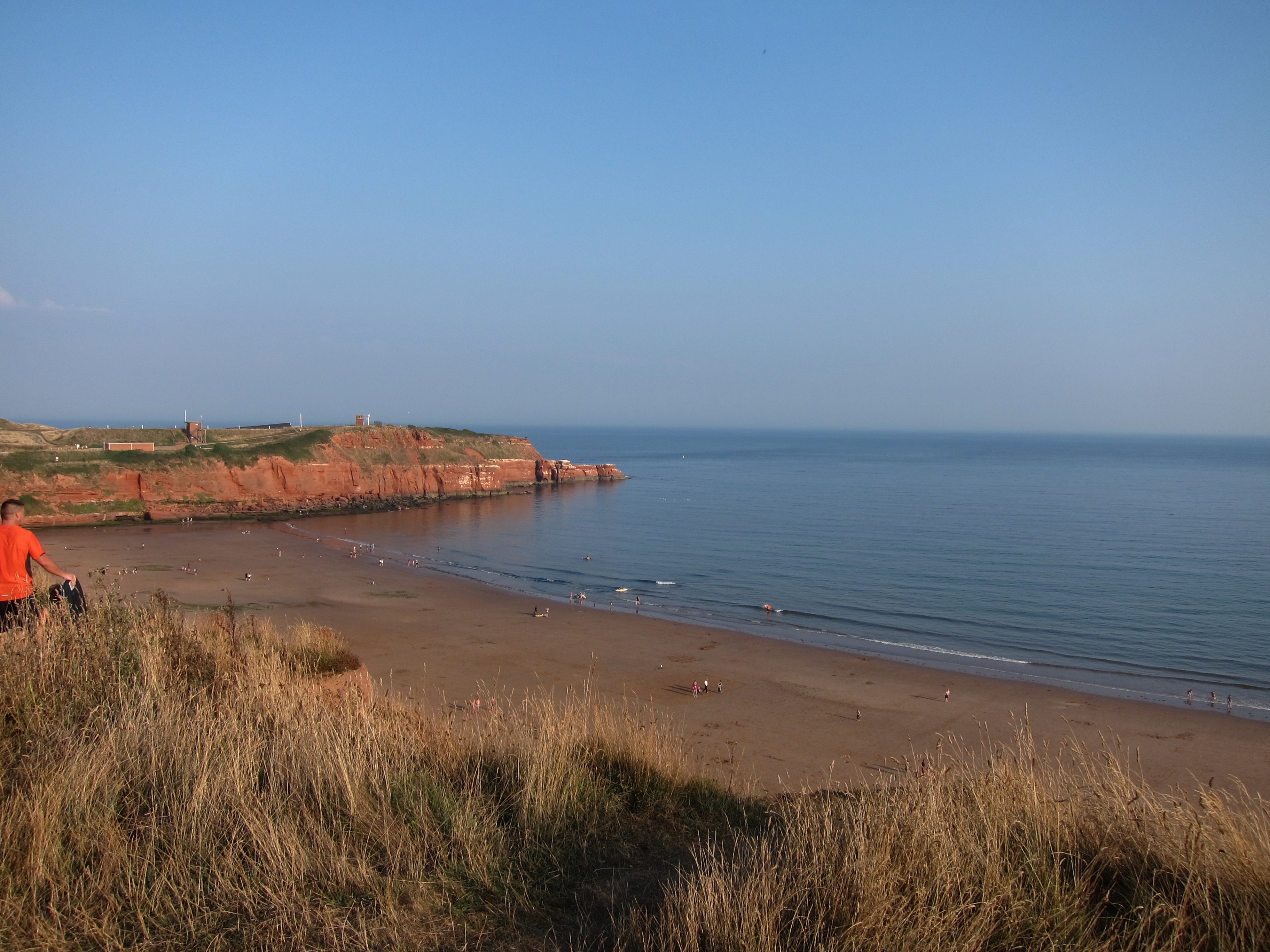
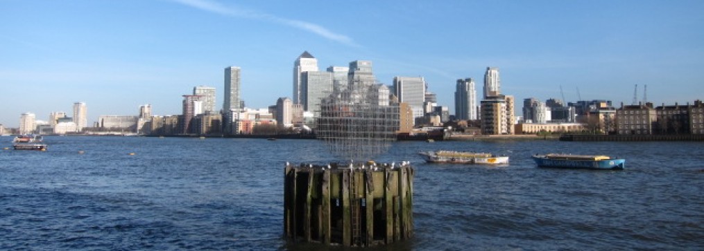
Striking back to the water’s edge, the path runs north for a mile or two then turns west into the estuary of the river Crouch.  This is wider than the Roach estuary, but otherwise practically identical.  We could see Burnham on Crouch on the opposite bank.  Because of all the inlets, one can see the sails of ships without the water being visible – it is quite strange, the sails seeming to be rolling along the land.IMG_4889

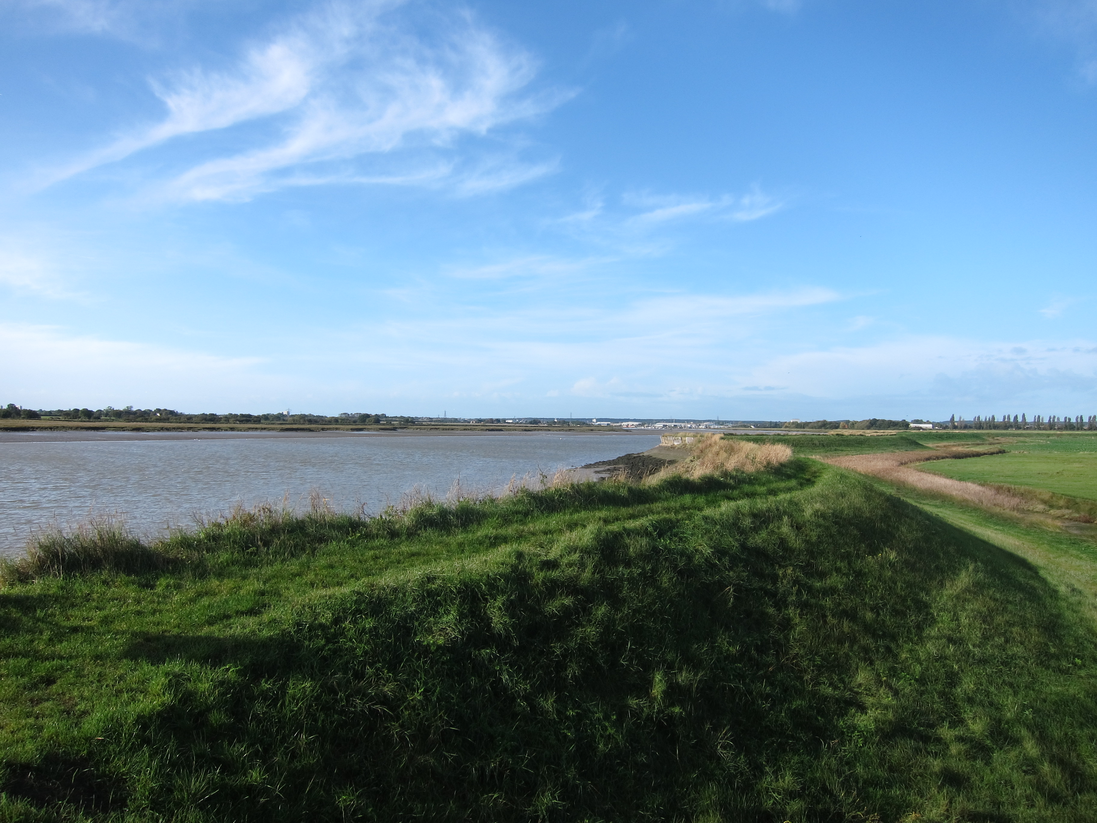
We could see Canewdon church tower on a slight rise to our left, at least, we could see it until the sky turned inky black and the heavens opened.  Even my rainproof trousers eventually sank under the weight of water and began to seep.  The rain shower lasted for about half an hour, then gradually wore off as we walked up the slight rise into Canewden.  There was just time for a swift half in the pub there before heading home.

Day 34 19 October 2013 – Shoeburyness to Rochford

IMG_4869Just got back from a satisfactory day, beginning the east coast, accompanied by Chris.  As anticipated, it was flat and also rather rainy, not very heavy, or windy, but relentless.  Since the previous very wet day, near Beachy Head, was with Chris, I am beginning to wonder if he is the culprit!

We set off from Shoeburyness around 9.45.  It was not raining at that point and we could see the Kent shore with the various power stations and sewage plants I walked past back in the winter.  It doesn’t seem very long ago, but I have covered a pleasing distance since.  It was a bit odd to be walking with the sea on my right, but I am sure I will get used to it.  The contrast with the South West is amazing – from the relentless ups and downs over the chalky cliffs to a vast expanse of mud flats.  When we started out the tide was a long way off shore and there were people and dogs dotted across it.  We walked past a group of chaps setting themselves up for wind kiting on the mud.  It looked like great fun, but the geese who were circling ready to land did not seem so happy to see what they were sharing the coast with.

After a mile or so we had to turn in land to avoid the defence works at Shoeburyness – the road took us through a residential area and we had the bizarre sight of some dismembered mannequins in the street.  They would be very creepy at night!IMG_4873

Eventually, we turned back to the coast, but not much further on we turned in again to walk along the Roach estuary.  The island of Foulness was next to us, apparently you need a pass to go onto it as it is used for something terribly hush-hush.  The swing bridge to the island was up, so, given there is no land access I am comfortable that it is not on the route!

The path runs along a low embankment, built up, I suppose, to make the river Roach navigable.  It was not an eventful day, the path just would in and out of the various inlets with boats in various stages of dilapidation dotted around.  There was a curious section of bumps in the landscape, which we concluded, owing to the smell and the little pipes dotted around, was landfill.IMG_4877

In total we covered just under 19 miles, and, happily, towards the end, the rain finally stopped and we were able to dry out before getting back into the car.

Day 33 Bigbury to Plymouth 31 August 2013

Well, I have finally made it, more or less, (there is a four mile stretch I have to go back to) to Plymouth, with the help of my friend Vicki, who came down from Taunton to join me for the last lap. Whether my feet have finally acclimatised themselves or whether it was the copious application of alcohol with Vicki last night, but I had no aches or pains at all in feet or legs last night or this morning so set out very jauntily.  IMG_4806

Around four miles beyond Bigbury-on-Sea is the River Erme.  The only way across this is to ford it, which is apparently easily done knee deep within an hour either side of low tide.  Unfortunately, I could not discover the times of low tides.  The South West Coast Path site is not that helpful and the best guess I could make, based on nearby rivers, was low tide at 5am and 5pm – not very helpful on this occasion.  I couldn’t see us doing a 2 hour walk before 6am!  We decided that the sensible thing to do was to drive to the other side of the Erme and leave the it there.  I will come back and do this piece though, as it is very pretty and an important part of the walk.  I don’t care about the 3 miles I did on the bus to avoid the road at Paignton.

We drove down some extremely narrow lanes to reach a little car park on a private estate, only open to the hot polloi on Saturdays, Sundays and Wednesdays.  We could see the mediaeval tower tucked amongst the trees and concluded that in days of old the squire was a magistrate during the day and a smuggler at night.   Setting out from the west bank of the Erme, we climbed up onto the headland and had marvellous views back to Burgh Island and its unbelievably swanky hotel.  The day was largely spent on top of the cliffs, with a few ups and downs into tiny coves, ideal for bathing or more nefarious activities.  There were lots of pleasure boats, yachts and dive boats bobbing on the lightly moving water.  The weather was truly glorious.  At times we could see the Eddystone Lighthouse – fourth of its name, built to protect mariners from the treacherous Eddystone reef, 12 miles out. IMG_4812

We saw huge numbers of butterflies, pained ladies, lots of whites, meadow browns and yellow ones. We also saw some rather pretty lavender crane’s-bill and possibly another kestrel.  The earth here has changed again, much less red than further east in Devon, and the stone appears to be slatey. IMG_4821IMG_4842IMG_4858

The next obstacle on the route is crossing the River Yealm at Noss Mayo, but fortunately at this time of year the ferry service is constant.  We dropped the board to call the ferry and sat on the quay for ten minutes watching as he approached.  Noss Mayo is a little gem of a place with a perfect location for boats to moor away from the sea.  At the mouth is the rock known as Great Mew, guarding not only the Yealm but also the entrance to Plymouth Sound.  How brave Drake and those early sailors were, setting out with very limited navigational tools into the unknown for years at a time.  We had planned to stop at Wembury Point for cream tea (me) and a pint of the local brew (Vicki) but it was heaving with people and didn’t look very appealing so we pressed on, passing round Holmbury Bay and being greeted with the fine sight of Plymouth.  The last few miles seemed quite hard going – maybe the adrenaline had left me, but I struggled to finish the final couple of miles into Mount Batten.  We did just over 16 – I have no idea how I managed 23.5 on Monday!  However we made it and it was definitely one of the best days I’ve done.

I am absolutely delighted to have accomplished so much this week.  I have walked 144 miles, and burned nearly 12,000 calories (I have probably consumed at least double that amount in English breakfasts and cream teas).  I have walked through geological time – Triassic, Jurassic and Cretaceous; seen a wide variety of plants, butterflies and birds, and even a seal basking on a rock.

I shall say goodbye to the south west for now, and begin walking up the east coast over the winter.  Next Easter I shall leave England proper and walk into Cornwall.

Day 32 East Prawle to Bigbury-on-Sea 30 August 2013

Today started very unpropitiously.  I had trouble getting to sleep as my feet were hurting and I was suffering with some aches and pains in the knees and joints.  In particular, my right big toe feels rather peculiar.  Fortunately, a dose of Vitamin I sorted them out, however, as I was lying in bed waiting for it to work, I heard the wind change and the rain begin.  I thought of all of those ships wrecked on these very shores, near Start Point where I had walked and was thankful to be safe in my bed.  I am tempted to change my charity of choice (since I am not doing very well with it anyway) from Guide Dogs to the RNLI.IMG_4727

In the morning, the clouds were low, and whilst it was not actually raining, the air was wet.  I enjoyed breakfast – the landlord and landlady seemed very friendly after my initial reservations, and there were two other women at breakfast who were interesting to talk to.  A discussion of my planned route revealed that the first bit of path would be narrow, precipitous and very greasy under foot after the rain.  Bearing in mind my thoughts yesterday rounding Start Point and adding in that I have no head for heights, it all added up to taking a more inland route to East Portlemouth, which I duly did.  As I arrived there, and waited for the ferry, the cloud lifted and I could finally see the view.  The ferry is a little rowing boat with an outboard motor.  It chugged up after a few minutes wait and deposited a boat load of us on the Salcombe shore.  IMG_4748The path twists and twines up to the headland, and I was thrilled to see superb views across to Starehole Bay and Bolt Head.  IMG_4753The path is narrow enough, but the sun had come out and dried it up – also, the rock seems to have changed here, and rather than the slippery sandstone, is a much more grippy slate or granite.  The next few miles were my second 6 star section (see new grading page in due course).   IMG_4761The views were superb, and the walking is my favourite kind – on top of the cliffs with wide views and the breeze on my face.  The clouds had more or less cleared and the waters were a deep blue, greenish near the shore with white frills around the many shoals of rock.  The path continues like this for some time, then drops down into the truly delightful Soar Mill cove, a golden sandy inlet with a dangerous rock formation at the mouth – it must have been a haven for smugglers as it is almost invisible until you are at the top of it, and there is a path running inland between folds of hills.  I could practically see the men of old running a cargo of lace and French brandy.IMG_4779

The path then climbs up (very steeply, of course) to Bolberry Down and out to Bolt Tail.  From there, it is possible to see right down past Plymouth Sound and the first headlands of Cornwall.  I sat and admired the view for some time, thinking how glad I am to be doing this walk.  I arrived in Hope Cove around 3pm and decided that this might be my last opportunity for a cream tea.  I found a little restaurant and had the best cream tea of the trip so far (see review).

I pottered on and then was forced into another inland diversion owing to cliff falls.  Unfortunately, this (not stopping for tea!) resulted in me missing the ferry at Bantham.  The not-very-informative South West Coast Path website gives the impression that the ferry across to Bigbury-on-Sea runs pretty constantly in Summer.  However it doesn’t.  Apparently it is only between 10 and 11 and 3 and 4, and even then, only if the guy feels like it.  He wasn’t feeling like it today.  My choices were an 8 mile detour or a taxi from the pub.  Of course, I took the detour!  Now, who believes that?

Day 31 Dartmouth to East Prawle 29 August 2013

I am sitting in a pub that fancies itself rotten.  I hope the food will justify its faux bohemian air and general pretensions to olde worldliness.  The day has been a bit longer than anticipated.  I caught the bus back into Dartmouth, again admiring the view of the coast from the upper deck and reached Dartmouth at around 9.   The whole town was en fete for the three day regatta starting today, beginning with rowing.  I had a little wander around a couple of side streets, in particular admiring the museum building which appears to be 16th century.IMG_4657

I walked along the embankment, passing the passenger ferry drop off where I finished yesterday’s walk and continued on towards Dartmouth Castle. IMG_4662 There was a beautiful little church just under the castle, dedicated to St Petrox – interesting to see how far east the Cornish St Petroc has come.  IMG_4675The path then leaves the road and continues the relentless up and down behaviour of yesterday.  This carries on for the best part of 3 miles, with a mixture of woodland and bracken clothed hillsides.  The path then turns inland to the village of Stoke Fleming, then meanders back and forth on either side of the road for another mile back to Strete where I stayed last night.  The path is pretty clearly marked – naturally the only navigational mistake I made led me right through the middle of a herd of cows as far as a barbed wire covered gate.

After Strete, the path drops down to a long spit towards Torcross.  It wasn’t very appealing, mainly below the level of the road so no view.  Torcross is full of cafes etc and I stopped at one of the prettiest before beginning a steep ascent up a flight of stone steps, over a headland and back down to the next bay at Hallsands.  Then up again and along the side of the cliff.  As I marched along, I was beginning to be a bit concerned about my ability to finish the week.  My joints are all fine, even my knees, generally my weak point, are not giving me any trouble, but my feet are suffering. No strains, sprains, bruises or blisters, they just feel very heavy and tired, particularly if I have to walk on tarmac.

The path turns decidedly east out to the lighthouse at Start Point. I sat down to admire the amazing view – I could see right back to the mouth of the Dart and the headland beyond where I walked yesterday.  IMG_4710I felt very lucky to have seen so much beauty and determined to ignore my feet. Just near Start Point is the first mile post I have seen that covers the whole South West Coast Path.  Apparently, I have covered 168 miles from Poole, and have another 462 to go to Minehead.

The coast path goes inland of the light house itself, but as one climbs over the saddle of the point, the wind hits full in the face.  It was a beautiful afternoon, and the wind was not that strong but the reason fof the lighthouse was instantly recognisable.

There are shoals of jagged rocks and the prevailing south-westerly wind would drive a ship straight onto them.  The path becomes a bit tricky here, not that pleasing to someone nervous of heights as it clings to the cliff.  I wouldn’t fancy doing it if it were wet or the wind were off shore.  However, the upside was seeing seals lying on the rocks, sunning themselves. IMG_4713 I carried on round the point and more safely inland.  The path then drops down into Lannacombe Bay, and I was just congratulating myself on there being only a mile and a half to go (although with one very steep climb) when I saw the dreaded “path diverted” sign.  What a nightmare – an extra 2. 5 miles including a good mile of narrow lane.  I stomped off muttering and swearing.  About quarter of a mile up the lane a very kind lady stopped and offered me a lift.  I leapt in the car before she could clock my cow-patted boots and change her mind.  Her kindness saved me a lot of time and pain.  There was still another 2 miles to do up a very steep hill and long a bridle way into East Prawle.  Over the flatter inland view, I could see over the bumper harvest north to Dartmoor.  IMG_4718IMG_4723My b & b is a bit weird.  It is the last house in the village and rather tumbledown in appearance.  The landlord, who sounded like an elderly British gentleman on the phone turned out to be a very dishevelled, middle aged stubbled Kiwi.  The place reeks of dogs, but the bedroom and bathroom are clean.

I have just finished my meal – no, the pub does not deserve to be so pleased with itself.

Day 30 Torquay to Dartmouth 28 August 2013

Purists will need to cover their ears at this point!  This morning, I looked at the map and realised there were several miles of road bashing.  Walkers will know that road walking is far harder than even quite hilly walking off-road as every step jars your joints.  IMG_4586I was feeling pretty chipper, and the day promised to be hot and sunny, however I didn’t want to wear myself out first thing, so I hopped on a bus from Torquay down to Goodrington Sands where I re-joined the coast path as it turns to run beside the railway.  Rather excitingly, I saw a steam train puffing through, packed go the gunwales with tourists.  IMG_4588

The first couple of hours round to Brixham were very pleasant and easy.  A few ups and downs, but no more than necessary to stretch my legs. I chatted to a nice lady who has moved down from Iver in Buckinghamshire and who is the first person I have ever met outside of an Agatha Christie novel to describe a town as “a dead-and-alive kind of place.”

Brixham was absolutely heaving – you could barely stand on the pavements.  I saw a group of men in orange t-shirts and bethought me of the orange cagoul in my back pack – was there something special about orange tops in Brixham?  Apparently, yes: they were congregating at a statue of William of Orange, who landed near Brixham in 1688. I was glad I was not actually in orange, as, despite being generally supportive of William’s statement “the liberties of England and the Protestant religion I will maintain”, he was not very nice to his wife and was perfectly dreadful to the Irish and I wouldn’t want to be seen to be taking part in an Orange march.    The town looked very pretty, but I think I’ll come back out of season to look properly. I decided to have an early snack before setting off on the more arduous afternoon stretch, and I was glad I did – see review. As the path leads out of Brixham there are several pretty gardens, rather like Chelsea show gardens in size, presumably sponsored by local businesses.  IMG_4609

I have seen nothing today to change yesterday’s view that there is not a single flat space in Devon.  The path went up and down over and over again – out to Berry Head, then past several beautiful coves, the path dropping down to the beach then climbing up, up, up to the cliff, then down, down, down to the next.  Around 2.15 I decided to stop and paddle at Man Sands, sadly more “sands” than “man”, but it was delightfully refreshing, not to say, bracing for the feet.  I toiled on, back up to the cliff, wishing that instead of being called the South West coast path, the route were named the “path that stays on the top of the cliff with wonderful views and no ascents or descents of more than 50 feet”.  IMG_4623Around Froward Point, the path gets very narrow with steep drops down to the sea. I was glad the rain that came close around 3pm passed over, as I would have been rather nervous if it had been wet.

I came across a herd of Dartmoor ponies that were hogging the path, and had to wriggle round them, they seemed entirely unconcerned by my predicament.

Eventually, the path makes its final steep descent into Kingswear where I crossed on the passenger ferry – first recorded in 1365, although I am glad that the craft appear to have been replaced.  Dartmouth is an absolutely delightful town.  The fun fair was being set up for tomorrow’s regatta, but it seemed to have a reality about it that is missing from some of the other seaside towns.  I caught the bus up to Strete, advised by my landlady to sit on the top deck, which gave a great view of the many more ups and downs I will need to cover tomorrow.

Day 29 Exmouth to Torquay 26 August

Today was much shorter than yesterday at only just over 15 miles. It was still pretty taxing.  I was worried that I would be exhausted from yesterday and that my various knees and hips would be aching this morning, but I must be getting much fitter as after a solid 9 and a half hours of sleep I woke feeling fine.  The ghastly hotel was somewhat redeemed by copious amounts of hot water in the (mouldy) shower, once I had figured out how to turn it on, but nothing really compensates for a crimson nylon ruched counterpane.

My plan was to cross from Exmouth on the Starcross ferry from close by my hotel, however, after consulting the timetable (I know I should have done it before, but I didn’t), it transpired that the first crossing wouldn’t be until 10.40 and would then take half an hour.  To walk up the Exe Estuary to the nearest crossing at Countess Weir and back would take several hours so I opted for the train around to Dawlish Warren.

The walk from Dawlish Warren into Dawlish itself is easy enough- along the sea wall, parallel to the railway.  The railway bed was originally carved out in 1839 for a new turnpike, but was eventually used for the railway in 1843, running all the way along the bottom of the cliffs to Teignmouth.  I imagine the fishermen of Dawlish were very unhappy as the line cuts off the beach.  I stopped in Dawlish for a delightful cream tea, even though it was only 11am.  I burnt so much energy yesterday (and breakfast was not that big) that I was starving.IMG_4545

I had arranged to meet Bridget at the Teignmouth to Shaldon ferry at 1 pm, and was in very good time. IMG_4559 We crossed on the dinky little black and white ferry, then took a short detour through Shaldon, which is very twee.  Beautiful gardens overlooking the sea and a village green surrounded by superb Georgian houses, selling to rich Londoners at a million pounds a pop.

We stopped for a drink before setting off, but began our ascent around 2pm.  The path climbed steeply, then dropped over and over again, till we lost count of the number of ups and downs.  It ran mainly through woodland, with occasional glimpses of the sea.  IMG_4571After an exhausting 3 miles we heard an enormous clap of thunder and congratulated ourselves on the fact that the rain had passed us by – the path was wet but not too slippery.  Unfortunately, we spoke too soon as the heavens absolutely opened with a torrential downpour that made the track extremely greasy and awkward underfoot.

I was blessing Tom for lending me his cagoul – I should have been soaked to the skin without it.  The path continued its crazy rollercoaster effect all the way to Babbacombe, where Bridget left me.  I continued round to Anstey cove, but yesterday’s long day caught up with me so I took a bit of a short cut to my hotel.  I do not think there is a single flat foot of ground between Shaldon and Torquay harbour.

My hotel is rather superior to yesterday – a very traditional seaside boarding house.  I am now in the Hole in the Wall pub -selected because no young children are allowed.  I have had my fill of over tired, over sugared children in the last few days.  A hilarious incident occurred on the table next to me.  A French couple who don’t speak much English ordered “chicken pasta” and “a duck”.  In due course, they arrived.

“No, this is not right.  I ordered a duck.”

“This is duck.”

” No, no, not a duck, fish. A duck.”

“Oh, you mean haddock.”

” Yes, a duck!”

Day 28 Seaton to Exmouth

Today has been a marathon – well, not quite, but nearly!  23.5 miles.  It is too far, really, I am very tired now, and unfortunately, after the delightful B & B I stayed in I last night, my hotel for tonight is utterly repellent.  However, those quibbles aside, it has been a fantastic day.  I left just before 9am, and walked along the prom at Seaton, climbing up to Beer head.  It was a good pull up, but not so steep as yesterday’s first climb. IMG_4481 Once on top of  Beer Head, there is a long grassy plateau with excellent views back down to Seaton.  The path then curves around and drops steeply into West Mouth bay. It climbs up again, then drops sharply, then up again, and back down to the beach.  There were four of these steep ups and downs before I reached Sidmouth, which was about half way.

All the people who were at Lyme Regis yesterday have moved west overnight to meet me in Sidmouth.  I rested for about half an hour then climbed steadily up yet another headland which then dropped down ( there is a pattern here….), then another up and down, more gentle this time, into Budleigh Salterton.  In Budleigh Salterton there is a long and rather tedious walk inland to the bridge crossing the River Otter, even though you can see the path not 100 yards away.  I am now in an area of completely red sandstone, which, if I remember correctly from what I learnt yesterday, is from the Cretaceous period. Another climb up, more gradual this time, then a long, long descent into Exmouth, via a caravan park where a few rabbits were disporting themselves in the evening sun.  IMG_4519The sign posting is rather confusing at this point, as I had reckoned 6 – 7 miles from Budleigh Salterton, but the sign said 4 miles, then 2 .5 miles, then back to 3 miles, then 1.75, then back to 3 miles again.  All a bit confusing.  In fact, it was close to 7.  Exmouth seems to have the longest promenade I have ever seen, making it a very dreary trudge for the last three miles. IMG_4538

It was an extremely warm day, which was delightful, and the boots are doing very well, although they are a trifle hot, being leather with goretex lining.  Lots of butterflies today, yesterday was too windy.  Saw painted ladies, large whites, small whites, green-veined whites, grizzled skippers, small tortoiseshells and even adonis blues.  May have seen another kestrel, but not certain.

Day 27 West Bay to Seaton 25 August 2013

Coast Walk – West Bay to Seaton.


Today was probably the most physically demanding I have done so far, although not the longest.  We had a fairly leisurely breakfast then took a taxi back to the coast at West Bay.  I could see the very tricky final steep slope from yesterday.   The weather was very overcast and threatening.  Fortunately Tom had a spare cagoul in the car which he has lent me for the rest of the week.  Hopefully it won’t be needed, and, in fact, although it threatened a few times there was no rain all day. The path crosses the harbour then immediately begins to climb up towards the cliff top, before dropping  right back down to the sea at Eype Mouth.  From Eype, the path appears to go straight up from the beach, but after a minute of scrambling up a bit of landslip we were waved back by a passer-by who pointed out the very insignificantly marked diversion.   Regular landslips make the coast path a bit of a moving feast.   There is a steady climb out of Eype to Thorncombe Beacon – a long pull with a grassy saddle down and up again about half way.  The view was excellent, we could just see back to Portland Bill where I started yesterday.   Off the beacon there is a moderate slope down, then up again to the highest peak on the South Coast – Gold Cap.  It is not a hard climb, but relentless.IMG_4411  On the way down we were treated to the sight of a kestrel.   Down again into Charmouth, where there is quite a long diversion round the back of the town, along the old high street – again full of  interesting houses from different periods.  This street boasted a property where not only Charles II stayed (we are still on the Monarch Way, as well as the coast Path) but also Katharine of Aragon on her arrival from Spain in 1501.  The path climbs through a patch of woodland before arriving at the golf course at Lyme Regis.  We nipped across the greens between balls and then dropped down into Lyme.  I can only assume that the rest of the country was completely deserted today as everyone was in Lyme.  The sun had come out and it was a warm afternoon.  There were mums, dads, grandparents, sons, daughters, dogs, nieces, nephews, cousins and aunties traipsing round, eating ice-creams and poring over the fossil and mineral collections in many of the shops.  Tom is interested in minerals so we went into a few shops and he purchased some specimens.  I was amazed at some of the fossils – tiny, delicate outlines like Raphael drawings, tens or even 100s of millions of years old.  All of the little boys were delighted with the various bits of dinosaurs.

Lyme for me is famous for the scene in Persuasion, where Louisa Musgrave is knocked out on the Cobb and Anne Eliot, my favourite Austen heroine, has the pain of seeing the lover she broke up with 8 years before apparently in love with the IMG_4420said Louisa.

Out of Lyme, I crossed into a new county – Devon is now before me.  The path goes into an area called the Undercliff created by a massive landslide in 1839. Conveniently whilst the President of the Geological Society was staying there – coincidence, I am sure.  The land slide took away about 6 miles of cliff, which is now grown over into what is almost a tropical rain forest  It is thickly grown over drops and chasms between the boulders.  It is important to stick to the path as the area is still very friable.  There are ferns and creepers all around, and occasionally a glimpse of cliff with  a few where one can see out to sea, but for the better part of 6 miles the path is completely under the canopy of trees and undergrowth.  We heard owls calling, and even a peregrine. IMG_4432 By the end it seemed a little oppressive, and being quite hard going, I was glad when we reached the top of the headland.  We walked through a couple of oat fields and dropped down into Seaton.  A gruelling day, but fantastically varied.  18 miles.

We had an excellent pub meal in the Winston, then I said goodbye to Tom for a day by myself before Bridget and Angela join me.

Day 26 Ferrybridge to Bridport 24 August 2013

IMG_4369I left Ferrybridge just before 8.30am.  The morning was chilly – I had barely gone a hundred yards when I had to stop to put on another layer – and the sky was exceedingly black.  Not a pretty sight for someone with no waterproof.  However, I was lucky. A few spots of rain fell, then the clouds began to drift inland ahead of a stiff south west wind that continued most of the day, contriving to make the morning both chilly and humid.  I contemplated walking along Chesil beach itself but concluded that it is just too hard.  Shingle is very difficult to walk on even for a few hundred yards and the beach in nearly 20 miles with no way of changing your mind if it gets too tough.  The Coast Path runs parallel to the beach, along the inside of the Fleet Lagoon, a site of special scientific interest and outstanding natural beauty and with various other accolades.  Attempts to drain it in the 18th century were thwarted by the incursion of salt water over the Chesil spit.  Apparently, Chesil Beach is moving inland at the rate of 5m per century.  Strictly speaking, it is a Tombolo as it joins two pieces of land (thanks, Chris!)

The walk was fairly uneventful.  Lots of people with a variety of dogs, and far too many cows.  I had to walk through a number of fields where the blighters seem to take delight in hanging about near the exit stile.  In one field I was edging gently past some bullocks to cross a ditch when one came up behind me with a ring in his nose with spikes on – more like a knuckle duster than an ordinary nose ring.  I beat a hasty retreat and had to walk around the edge of two fields to get round.  Several more fields with a variety of bovines, but none as threatening.  One where a cow was standing directly in front of the stile – fortunately it was next to a gate so I hopped briskly over.  I can be surprisingly nimble in these circumstances!

The path wound past Moonfleet Manor, and I was rather excited to see it marked on the map as a hotel.  Moonfleet, by J Meade Falkner was one of my favourite books as a child and I was keen to see the manor which features in it.  Unfortunately, it was surrounded by a very dilapidated wall with the entrance nowhere near the path.  I didn’t want to persevere as it had a rather sinister and uninviting air.

I reached the Swannery at Abbotsbury at lunchtime.  I didn’t go in, but it looks worth a visit on another occasion.   It seems there has been a swannery here since the 11th or 12th Century, under the auspices of the Benedictine Abbey.  Several hundred pairs of Mute Swans nest here each year.    IMG_4388IMG_4379

The path then continued to hug the shore past West Bexington and Burton Bradstock, with a couple of very steep up and downs towards the end that rather took the wind out of my sails, before ending in West Bay, where I diverted inland to Bridport – a good mile extra.  I am sitting in the hotel waiting for my friend Tom to arrive, to walk with me tomorrow.  Just under 21 miles in total.

We had a rather posh pub meal at the Bull in Bridport – excellent Venison burger.  The hotel is nice, but rather expensive.  My room is so tiny I have to climb over my bag to get into bed, but our host is a pleasant chap and shared a nightcap with us in the little bar, telling us about the all of the arts events in Bridport.  Bridport is an interesting place, lots of different church denominations and a real mix of architectural styles.  The route down to West Bay, up which I walked is the Monarch’s Way, reputedly the route Charles II took after the Battle of Worcester to escape to France.  Above one of the high street inns is a sign saying he stayed in Bridport on 23rd September 1651.