
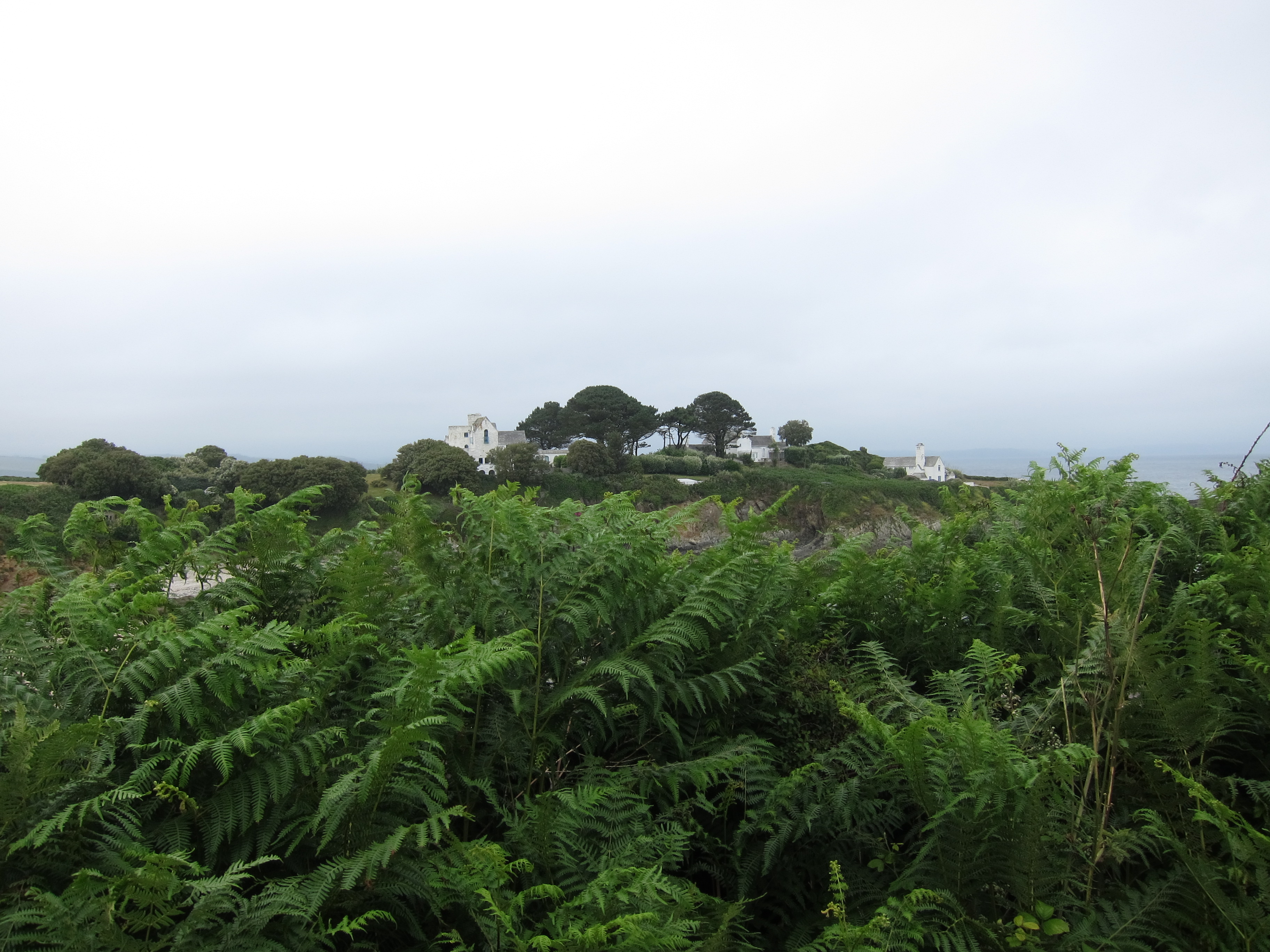
Slight change of plan today. The distances over the last few days have been a bit too much, so we have rescheduled a bit. Today, we cut it down to 13.5 miles, which, to be honest was plenty. My feet are very achey and Rachel’s knee is twinging. When we left Mevagissey this morning, at about 10am, the weather was overcast and a bit soft, but nothing too serious. Climbing out of the town, we could see the lighthouse we missed yesterday coming out of Fowey. The first headland had a very interesting looking house. Part of it certainly looked mediaeval. It was at Bodrugan’s leap. I shall look into that as the Bodrugans of Cornwall are in my family tree – maybe one of my ancestors leapt off the headland rather than be caught by the revenue man…It looked ideal for running a cargo of brandy!
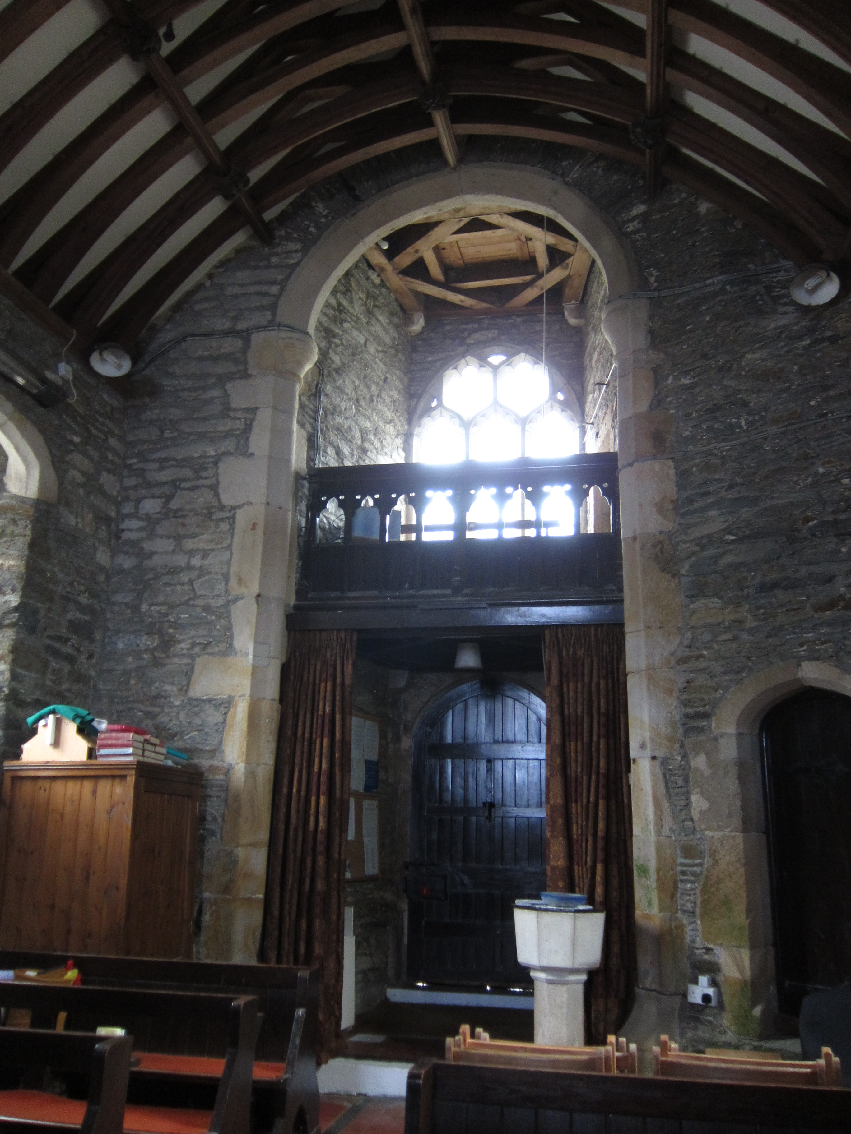
 The ups and downs weren’t quite so extreme today, but there were plenty of them. Thankfully, there were no route confusions. The first stop was Gorran Haven, a very typical little town, not quite so dolled up as some of them. There was a tiny Chapel of Ease, dedicated to St Just. Apparently it has been there for 1400 years (although it spent some time as a fishmarket in the nineteenth century). Quite amazing to think of some ancient Celtic saint living there with the sound of the sea. We contemplated that as we ate cake and coffee.
 The other big excitement of the day was the pod of what we took to be porpoises but were late informed were bottle-nosed dolphins. We spotted them around 300 yards out from the shore. We were high up on the cliff and could see them playing in the waves. They moved quite fast – definitely faster than us! Apparently there are about ten resident pods of some 50-100 individuals who live in Cornish waters. They are around 8 – 12ft long. We passed Caerhayes castle – then had what the sign claimed was only another 2.25 miles to do but it seemed much more. Each time we rounded a headland thinking ‘this must be it’, there was another headland behind with no sign of the town. Experienced hill walkers will have come across the false summit – in Cornwall, there are false headlands. A mere deviation from the horizontal on the map turns out to be a huge headland on the ground.
 Finally, we arrived at Portloe. The first place we saw was a restaurant named the Lugger. The receptionist informed us that they were not serving dinner. The unspoken words ‘to ragamuffins like you’ hovered on the air. She thought the pub might be able to accommodate us, and indeed it did. A very nice meal indeed. Then, because the last bus had sailed past as we walked into the town, a short taxi ride to our very nice B & B.
 Another good Cornish name – Trewithian. I am thrilled to see so many Cornish house names – many of them identical or very close to Welsh – Pencarreg, Gwel-mor, Mordros, Chy-an-haf (assuming the meanings are the same as Welsh, they are Summit-stone, Sea-view, Over-the-sea and Summer House). Tomorrow, I will go back to Portloe and Rachel will go on to catch her train from Falmouth.
Day 63 – Fowey to Mevagissey – 12th July 2015
Our B & B in Fowey was very quaint, apparently one of the oldest buildings in the town, dating from 1430, but our morning peace was somewhat disturbed by the seagulls who were up and about at 4am. We left Fowey about 9.45 – there didn’t seem much point in hurrying as it was raining. The path climbs out of the town, but here, as elsewhere it is very poorly signposted.
We hummed and hawed at an unmarked fork. A young Swede or German rushed past, saying he was sure it was the right hand fork, so we followed him. After a quarter of a mile, he came rushing back – no, it was the other fork. For a couple of hours we could see him zooming over the headlands to the west. I presume he is at Land’s End by now! After walking for an hour or so we came to the most gorgeous house, hidden in a cove. It was absolutely the perfect house – it even had its own duck pond.
 At the next junction the map and the signage disagreed. We decided to follow the signs, thinking that the path may have been diverted since the map was printed. It ended, however, with us missing a walk up to the light-house that we could see coming out of Fowey, and hitting a road instead. However, as it was still raining, there would not have been much to see. We came to another little cove, this one had a coffee stall, and a sailing school, so we sat in the rain and had a cuppa. The stall man was very helpful and explained that the map gave a false impression of the path at Par Sands. He gave us detailed instructions on how to negotiate the caravan park and the kaolin works. Whilst we were drinking our coffee, we watched a group of teenagers having a lesson in managing a dinghy. I began to feel faintly sea-sick watching them. We climbed another cliff, then dropped down into the dunes behind Par Sands.
On the edge of the beach were two little gazebo things, housing the Par Sands Carnival Committee. They were hoping to raise money for the Carnival by selling hot-dogs etc at the planned raft race (which it appeared might be cancelled, or perhaps had already been cancelled, or might perhaps be back on if the wind changed. No-one seemed to mind.) They kindly let us leave our bags and boots under the shelter whilst we paddled. We must have looked a bit bizarre – paddling in our rain gear. We then consumed a couple of excellent fresh hot dogs.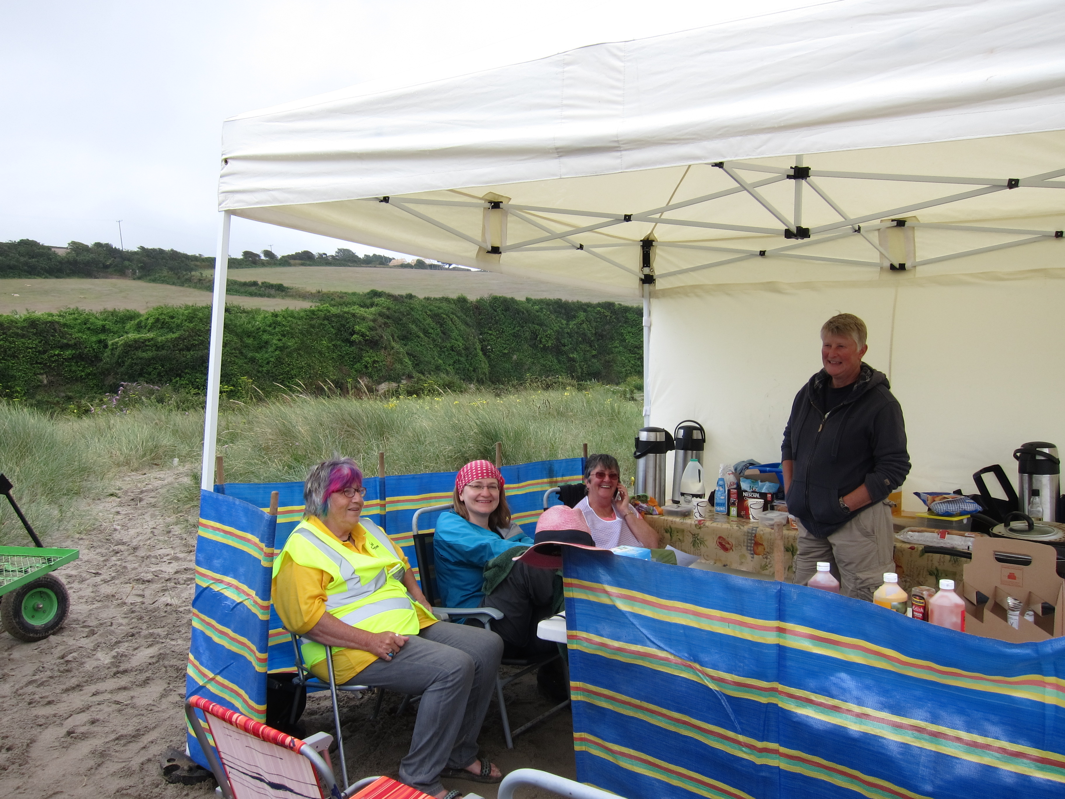
Along the grey sands of the beach, then through the caravan park, onto the road through the town, and round the Works. Our B & B called to say they wanted to go out. It was no problem to us as we were unlikely to arrive before about 7pm. Around 3.45 we came to the port of Charlestown (Porth Meur). This was developed from the original hamlet of West Porthmear in the late 18th century by the local squire, Charles Rashleigh. The purpose was to transport the huge amounts of, first, copper, and then china clay coming out of the Cornish mines. The last exports left in 2000, as the port is not deep enough for modern shipping. Pleasing to our eyes, was the sight of the pub, and even more pleasing was the sign advertising Prosecco Cream Teas. We took advantage of this excellent combination of food and drink, not leaving until about 4.30. 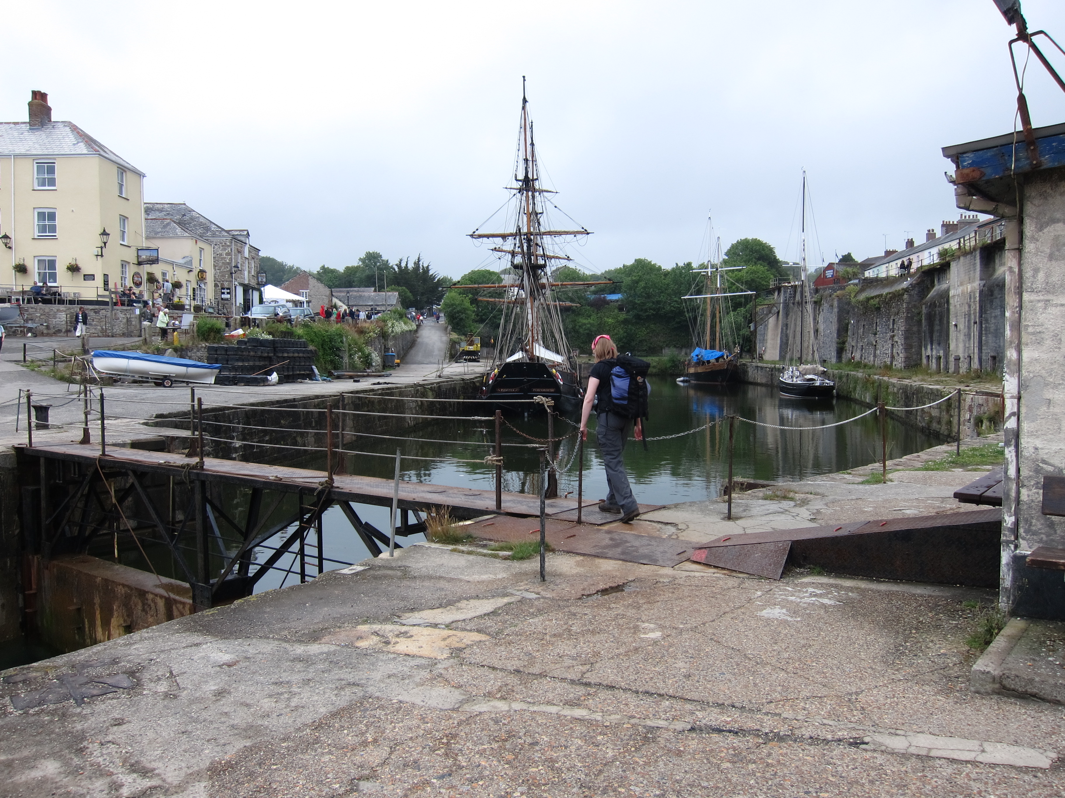 Unfortunately, that had a bit of a knock on effect and progress was slow. We got hopelessly lost at a place called Trenarren, although not so lost as another group of people who several times set out on different paths, only to re-emerge where they started, like actors in a farce. Eventually, we found the right route (no thanks to the sign-posting) and, after some punishing ups and downs between headlands, arrived at Pentewan, the town prior to Mevagissey.
 We stopped for ten minutes, which was a mistake, as Rachel’s foot began to play up as soon as she put her boots back on. The last mile and a half into Mevagissey along the tarmac was rather miserable. We have been cheered both by our supper, in the local Indian, and by our excellent B & B (see review). Although we’ve done under 14 miles, it has been a tough day.
Day 62 – Downderry to Fowey 11th July 2015
Our hotel was very good – always great to stay in a pub, you only have to crawl upstairs after dinner, and it was splendid having breakfast overlooking the sea. We set off around 9.45am 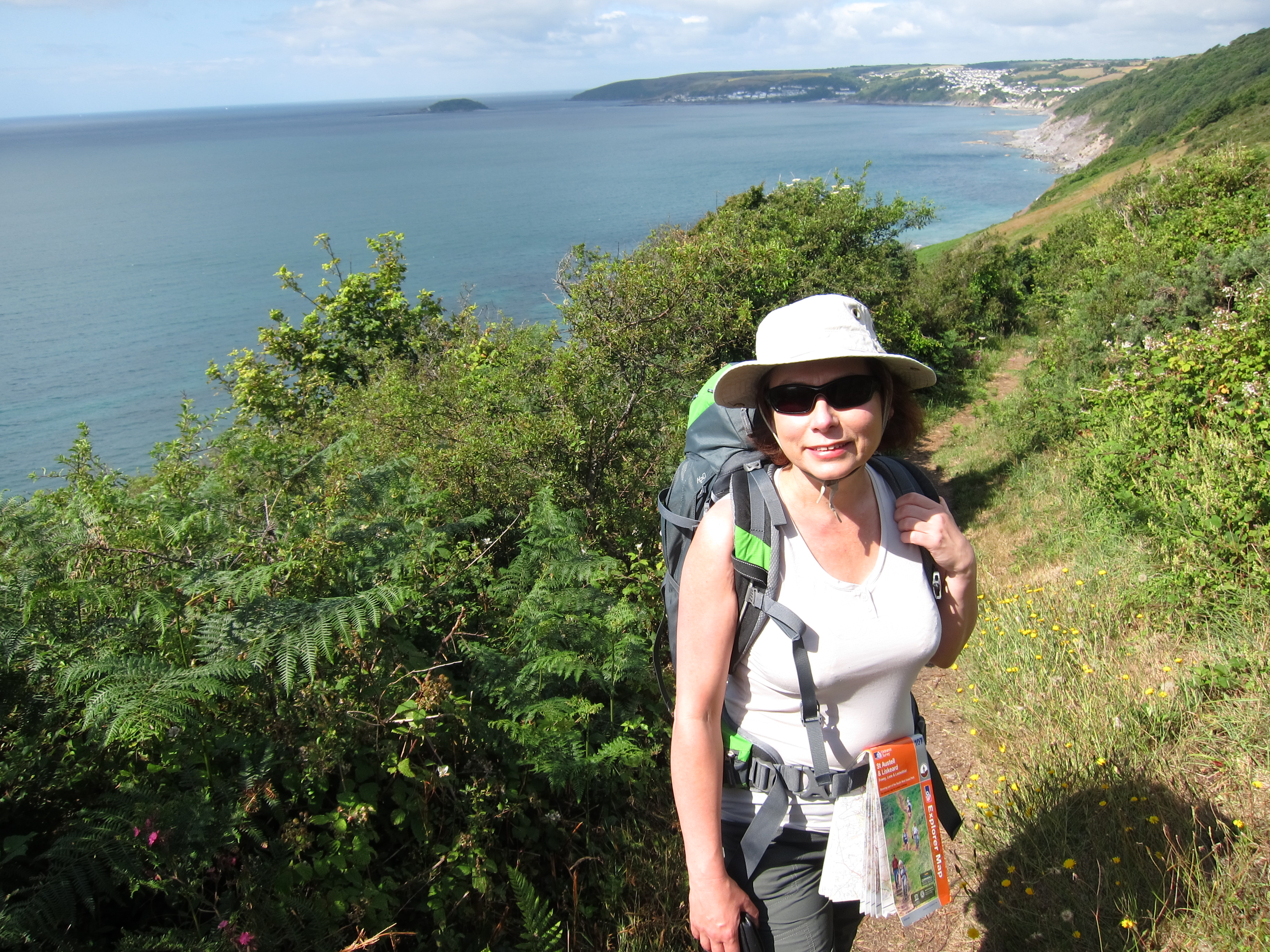 and made excellent time to Seaton. After Rachel’s knee problems yesterday, she was a bit concerned about whether she could walk today, but fortunately all was all. At Seaton, which is a tiny little cove, we stopped to paddle. It was gorgeous, the water was icey, but clear – turquoise on silver sand. We paddled around, cooling our feet, then had a proper ice cream. My first Cornish vanilla! We hadn’t eaten or drunk enough yesterday so were determined to make up for it today.
The walk was a series of ups and downs, mostly steep, occasionally gentle. We reached Looe in very good time – a very pretty seaside town full of holiday makers. We stopped to collect a Cornish pasty for emergencies. Over the bridge, then a long climb back up to the tops of the cliff. Then down. Then up. And so on. About 4pm, we reached Polperro – another little gem. Polperro is a Village Trust and seemed to be thriving. We stopped for a really excellent cream, having spent part of the morning arguing over whether plain or fruit scones were best, and whether the jam or the cream should go on first (obviously, the jam goes on first!). The tea shop, next to the little museum, was able to cater for both our tastes.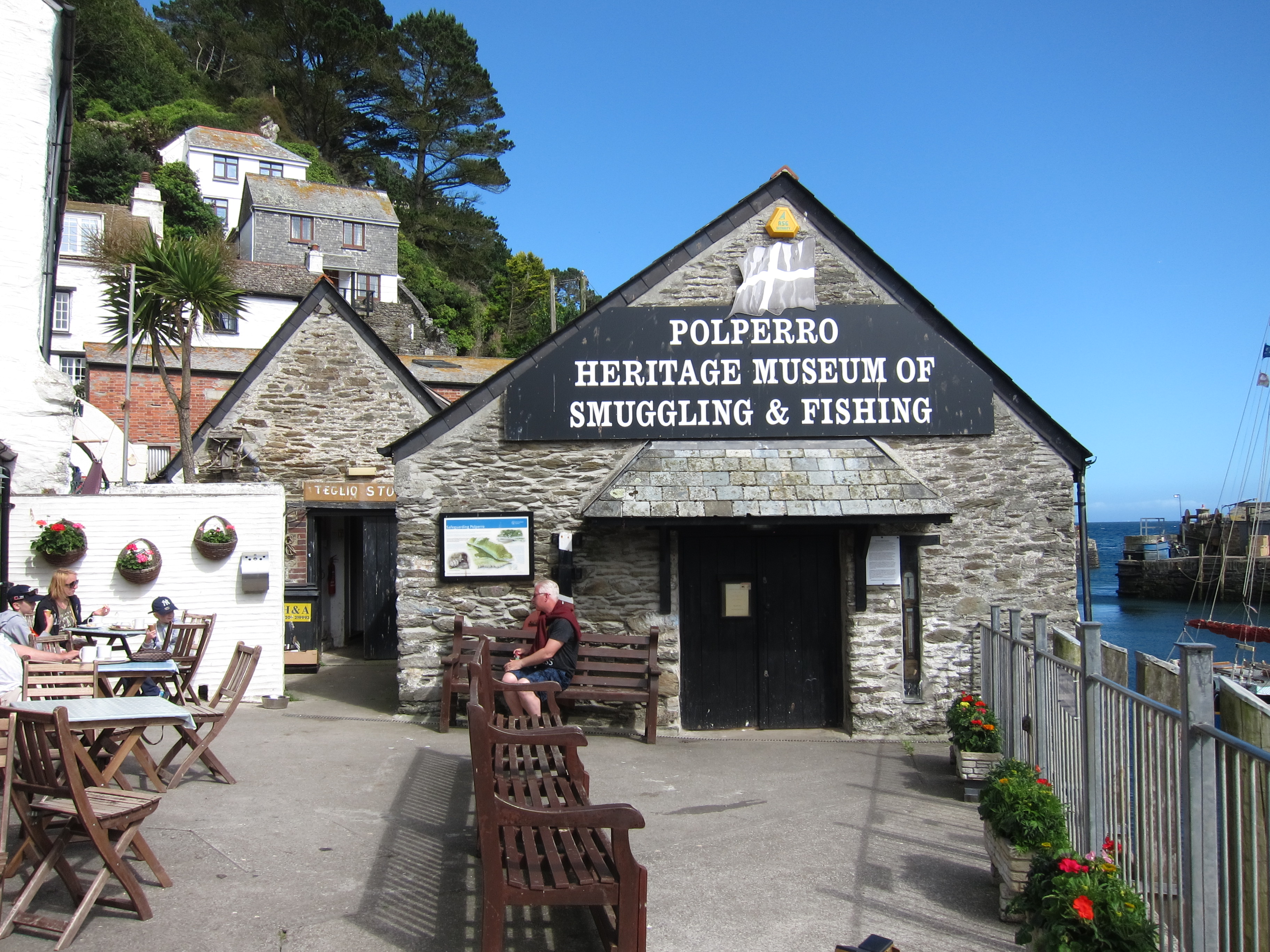
The sign post said Polruan 6.5 miles, which didn’t seem far, but it was a very long haul. More vertiginous ups and downs. We were rewarded by looking back and seeing how far we had come since yesterday and also, excitingly by a rare sight. We heard rustling in the undergrowth and first one, then a second, badger emerged and scuttled along the path – a rare sight indeed. We then stopped for what Rachel christened her ‘pasty of happiness’. A very high quality pasty indeed.  After that, the day seemed to drag a bit – the alleged 6.5 miles seemed like 10. At one point, the path split, but there was no indication of the route to take. The map clearly showed the left fork as the coast path, going round a headland, so we took that, but as we rounded it, the side fell away, and it was unclear which of several narrow tracks we should take, After an ascent that was not that pleasing, we finally reached a broader path, to discover barbed wire which had clearly been torn down by previous lost walkers. Unfortunately, I tripped on it and came down hard into a bramble patch. I am now sporting a bruised and cut leg, and hoping I won’t have a black eye tomorrow.
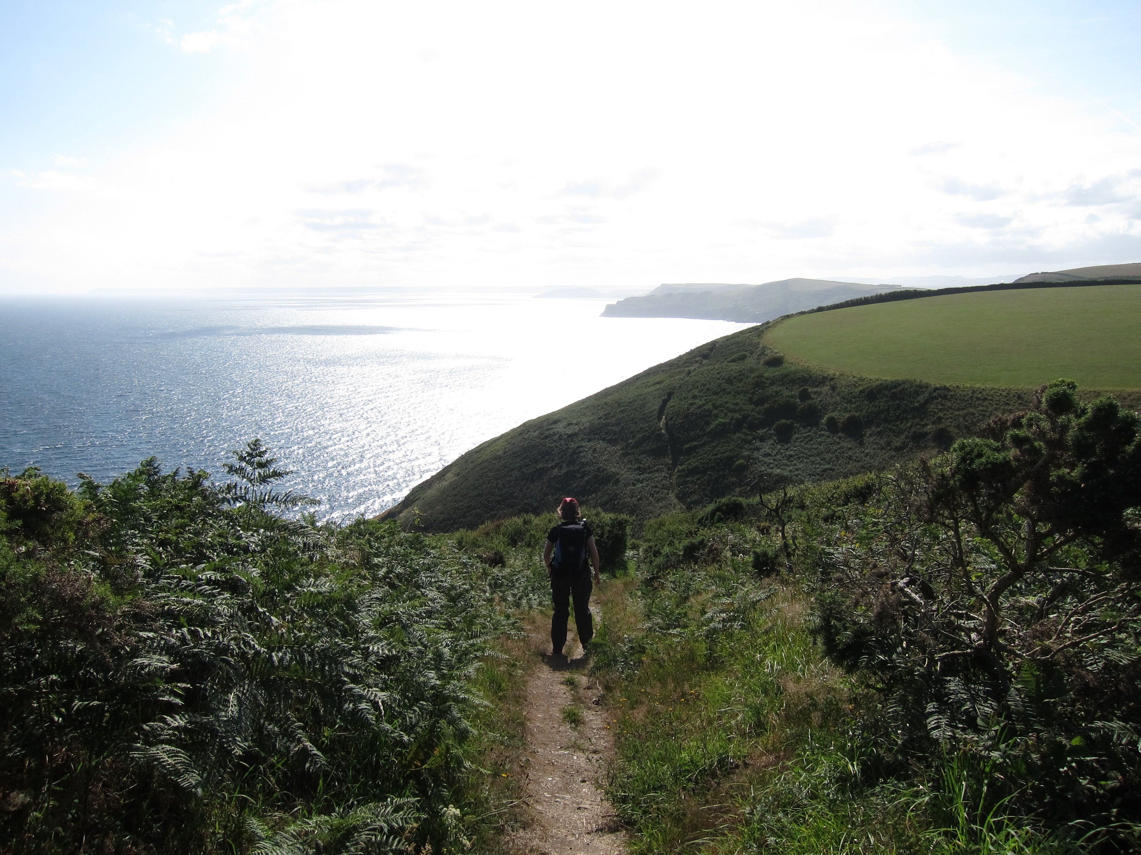 As if physical injury were not enough, our ears were then assailed by the most appallingly loud music emanating from the beach below. Bad rap at what sounded like 120 decibels. We were starting to lose our senses of humour, not helped by a punishing staircase climb, then a steep drop and steep climb up. Looking up the second climb, I had been aware of movement for a considerable time, near the top of the hill. Rachel assured me it was not a herd of cows blocking the way, and it eventually resolved itself into two men. One, a young walker, apparently looking for a camp site, and the other an extremely weathered farmer, who looked, and sounded, like an extra from Poldark. We concluded he had been paid by the Cornish Tourist Board to add local colour. He talked and talked, and the Camper was looking increasingly harassed as he heard that Mr TrePol/Penn/Trelawney had never been away from Cornwall and couldn’t see any reason to do so. Camper was beginning to look as though he might never be able to leave either. We took advantage of a pause for breath to break free, leaving Camper to throw despairing glances after us. We then crossed several fields, before toiling with burning feet down a very steep road into Polruan, where we caught the ferry across to Fowey, and, filthy as we were, ate my birthday dinner in one of its nicest restaurants.
Day 61 – Plymouth to Downerry – 10th July, 2015
Today has been a great day, although, at just over 20 miles, a bit too long. We were lucky to get here at all as yesterday there was both a tube and a rail strike and our planned train was cancelled. The only way to get here was to walk from King’s cross to Paddington, in my case, and Finsbury Park to Paddington, in Rachel’s, then make a run for the Plymouth train as soon as it was announced to try to get ahead of the two trainloads of people crammed into a single train with fewer carriages than usual. There were some very unhappy punters!
In the end, all worked out well and we got to our charming little guest house on the outskirts of Plymouth just before midnight. Following a very substantial breakfast, we took the bus into the city centre, and picked up the coast path not far from where I left it with Vicki nearly two years ago (can’t believe it is that long since I was on this side of the country!)
We walked along the Hoe, pausing to take in the enormous memorial to the fallen of the Royal Navy in both World Wars, and then past the lovely eighteenth century housing.  There is still a very large and elegant stone barracks to admire. We caught the 11.15 Cremyll ferry across Plymouth Sound, which was full of pleasure craft as well as more serious looking boats, to Mount Edgcumbe. We stopped for a coffee in the very attractive Edgecumbe Arms pub, then followed the path though the really beautiful woodlands that fringe the estate on the seaward side, pausing to admire the view, and the multifarious follies.
Mount Edgecumbe is home to one of the biggest camellia collections in the country, but, sadly, they have all finished blooming now. The day was perfect – sunny, clear, with a light warm breeze, but not too hot. Unfortunately my pack is too heavy…I have not carried a pack for a 12 day trip, and although I have pared it down and can still fit it into 26 litres, it seemed weighty. It has been a while since either of us has done much walking – my last coast walk joint was back in February although I had a couple of days in the Lake District recently, and Rachel has dished her knee, so we took it pretty gently.
The sea glistened to our left as the path gently undulated through woods and on the edge of fields.
Our first landmark was the tiny chapel at Rame Head, visible for miles in both directions, and mentioned in the shanty, ‘Spanish Ladies’ as one of the places the sailors recognise on their return home.  I had to double black to find my camera case which I had dropped, and caught Rachel up to find her listening to the Wimbledon men’s semi-final. After a short, not entirely intentional detour to the Rame Head life boat station, and a very confused scramble through a field full of brambles, the whole thing became fairly plain sailing. The path is broad, and easy at this point, and we ambled long, the silence punctuated by Rachel giving me updates from the tennis – apparently one of the best matches ever played by Federer. On one of the few narrow points, we ran into some Dartmoor ponies, who completely blocked the path, and refused to move, even when nudged by the end of Rachel’s walking pole. Eventually, we had to climb past them, hoping they wouldn’t take fright and kick.
The path led throughout the firing range at Tregantle, where we were thrilled to see a stoat actually mesmerising a small bird. We watched as the two creatures stared at each other, wondering why the bird didn’t just fly away. The stoat got closer, but I’m afraid we interfered with the course of nature by making a noise. The bird immediately came to its senses and flew off. There was nothing else to be seen at the barracks other than a rather good looking young man emptying the water out of an inflatable dinghy and pulling determinedly on the outboard. As the boat was at least half a mile from the sea, and not even on a trailer, I couldn’t really see the point of running the engine. Perhaps it was to confuse the enemy…
We thought a detour to a fish and chip shop in Port Wrinkle would be a good plan, as it was getting quite late and we were starving, but unfortunately the only café was closed. Downderry was a further 2.5 miles up the steepest slope of the day. A sudden squall meant a scramble for waterproofs – no sooner on than the sun was shining. Rachel’s knee was causing a bit of bother, so mindful of the fact that the pub might stop serving food at nine, I raced on ahead to get our orders in – not a moment too soon. We are staying at the Inn on the Shore and I am just heading to bed after an excellent supper.
Back at last!
I have now organised my next leg – I am very far behind where I had hoped to be, but the new website http://www.tudortimes.co.uk is eating up my time.
Nevertheless, I have now fixed 12 days carrying on from Plymouth where I left off in September of 2013. I start from Plymouth on 10th July, and plan to reach St Ives on the 21st of the month.
Day 60 Barton-on-Humber to Hedon 16th Feb 2015
It’s not much of an exaggeration to say that Hull on a very wet Monday in February put the grim into “oop North”.
I have walked 26.7 km in fairly persistent rain, and enough mud on the last couple of miles to almost suck my boots off. Nevertheless, it has been a red letter day – I crossed the mighty Humber Bridge-a truly awe in sprinting piece of engineering: 1.5 miles long, with the tops of the 155 meter towers 36mm further apart at the top than at the base, to allow for the curvature of the earth, and a swing up to of 4 meters (yes, 12 feet) in the centre to stop it breaking up in high winds.
Fortunately, today was not a high wind. It was brisk enough but nothing out of the ordinary. I set foot on the bridge at around five to nine and descended at around 9.30. Sadly I had very little view down the estuary as it was so cloudy, but standing under the towers and seeing the steel work was view enough. The cables that suspend the 21,000 tonne road, plus 5,000 tonnes of traffic, are actually twists of 14,498 lengths of wire of 5mm diameter each. Laid out, each would reach almost twice around the globe – heady stuff!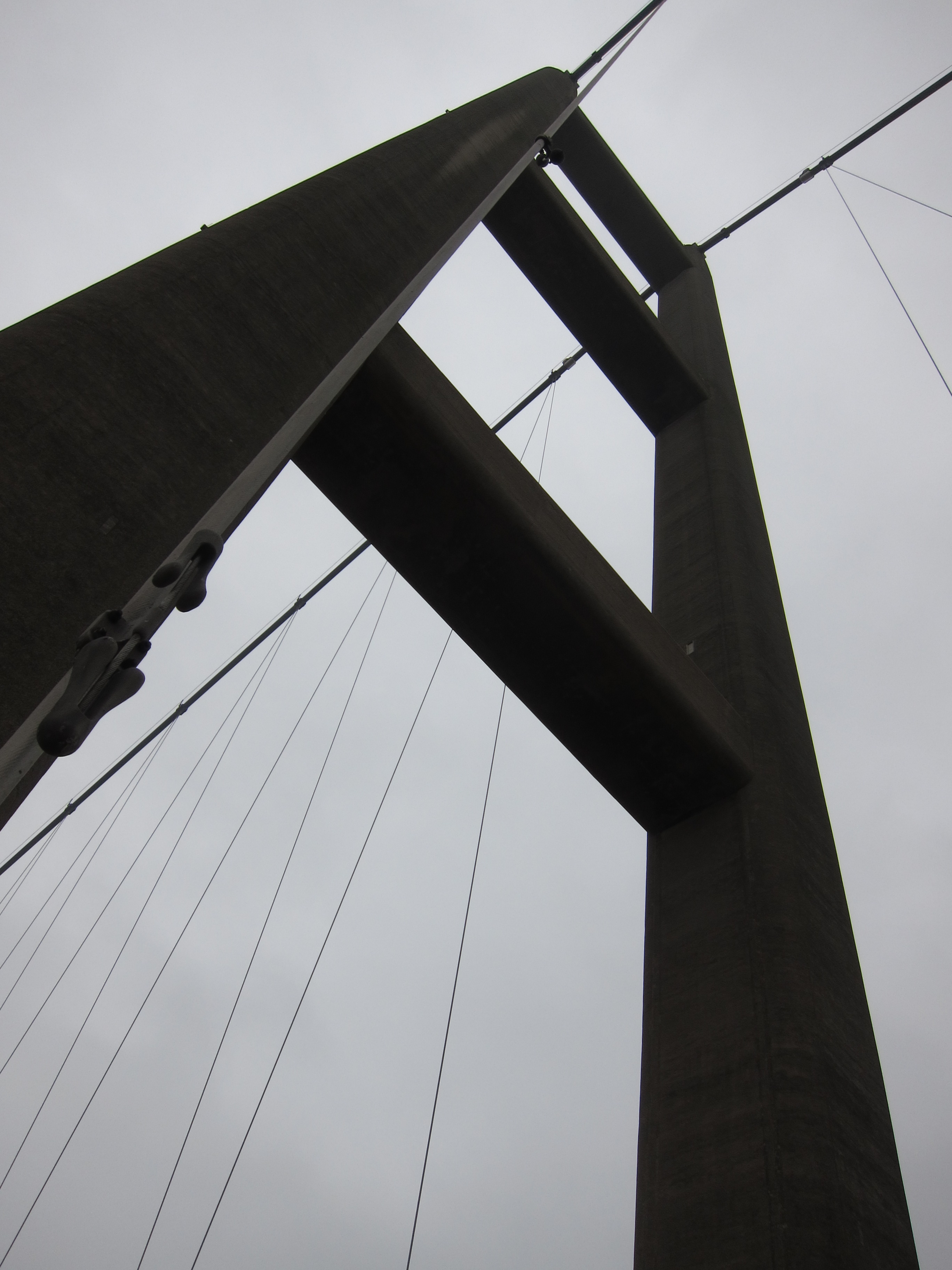
Following that excitement, the day was a long, hard slog, mainly along roads, and through deserted docklands to arrive in the not- entirely-inspiring village of Hedon by 4pm. Reading the tourist material in my hotel room, I feel I must have walked through a very different Hull from the one they are advertising. Perhaps it’s a Sliding Doors thing – had I turned left instead of right at Dagger Lane (yes, really) the whole thing might have looked quite different….
I’ve finished walking for the weekend. I shall go to Beverley tomorrow to admire the Minster.
Day 59 Immingham to Barton on Humber 15th February 2015
Today has been a long day – 17.25 miles.
It rained heavily in the night but when I left grim B&B after a miserable breakfast of yellow cotton wool on toast, the sky was blue and the temperature very reasonable. The earliest bus I could get, being Sunday, was 9.25am. Having looked closely at the map, there was really no possibility of getting back to the sea front much before Immingham – the coast is a long line of factories and logistics plants. The bus deposited me at around 10.15 and there were a couple of miles to walk along a main road, before turning off into a lane, leading down to a public footpath, that, in theory, after a further 3/4 mile, and crossing the railway, led to the sea front.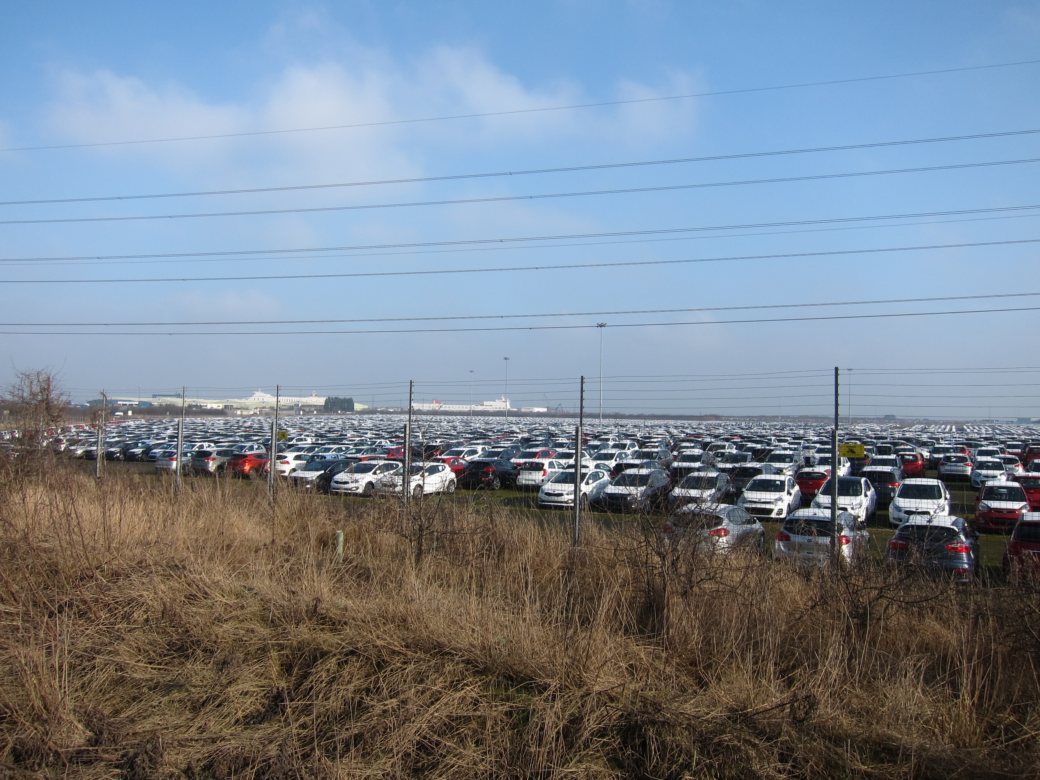
Aggravatingly, my map must be out of date (although I only bought it last week) as the path came to an abrupt halt at the railway with no possibility of crossing whatsoever. Even If I had been tempted to cross (I knew there were no trains on that line on Sunday, as I had considered it as alternative to the bus), there was a line of giant pipes and a very high, brand new metal fence. I could walk parallel to the railway line for a bit, but in due course, the gas pipes swung round and there was no alternative but to go back to the road, and follow it to Killingholme, which is a huge container terminal. Two enormous ships were disgorging their contents, and there was a permanent buzz of lorries and smaller vehicles with containers. Once there, the public footpath followed a narrow alley between enormous compounds full of cars. My feet were feeling a bit achey as I had now walked five or six miles on tarmac, but there was no improvement to be had for several miles, as although the path turned to face the sea, it continued as a concrete strip. At last I could see the Yorkshire side of the Humber Estuary. The sky had clouded over, and everything was hazy, but there was no mistaking the factories and chimneys on the distant bank.
Eventually, the hard track ended, and was replaced by a grassy bank, which carried on for several miles, turning west at last. I was looking forward to my first sight of the famous bridge, but the cloud had come down low and there was nothing to be seen. Eventually, out of the gloom, I could just about discern the suspension pier on the far bank. After that, it became clearer gradually but it was one of those faintly depressing situations where you walk and walk but the landmark never seems to get any closer….
The last five miles turned inland again, through a succession off muddy fields, with a strange mixture of rural and industrial buildings. I tried to imagine what the huge sheds could be used for, but there were no markings, no people, no goods in the yards, in fact, nothing but a sinister hum of machinery emanating from them.
Almost all of the houses in the village I passed were for sale. This did not surprise me – what did amaze me, was that anyone had bought them in the first place!
Barton on Humber is a fairly workaday town, but it does have two very interesting churches. One, St Peter’s, has an exceptionally fine stone Saxon tower, quite a rarity.  The other, St Mary’s, was just a good example of English Perpendicular.
I am staying in a pub, which is nice enough, but ludicrously expensive. I suppose because it seems to be the only accommodation in the whole town.
Day 58 – Donna Nook to Grimsby Fish Dock 14th February 2015
Today was certainly a “day of two halves”, but definitely a red letter day, as my last steps of the day completed my first 1,000 miles!
My B&B host kindly offered to take Tm and me back to my finishing point from yesterday, saving us a dull walk along the road.  We set off around 10.45 and walked for several hours on the edge of the salt marsh, the sea a long way out. The weather was fine, bright although not that sunny, with a moderate east wind. There were lots of birds to admire: curlews, brent geese – readying themselves to migrate north, oystercatchers and egrets.
There were not many more people around than yesterday, although we did see a few dog walkers, including one lady with an enormous black beast the size of a bear.
Far out, we could just see the estuary, but for most of the day it was invisible. Around 3.30 we reached the outskirts of Cleethorpes, and came down to the lovely golden sands. The beach is wide and flat, with ribbons of black dust. I had picked up a shiny black stone yesterday, in the slim hope that it might be jet, but my hopes were dashed – apparently it is just shale. My learning point for today, is that jet is fossilised monkey puzzle wood from 120 million years ago!
We stopped for tea, cake, and half of the England-Italy match in Cleethorpes, then carried on toward Grimsby.
What a contrast! The whole stretch of sea front is a dreadful scene of ex-heavy industry, with the most appalling stench of dead things. 
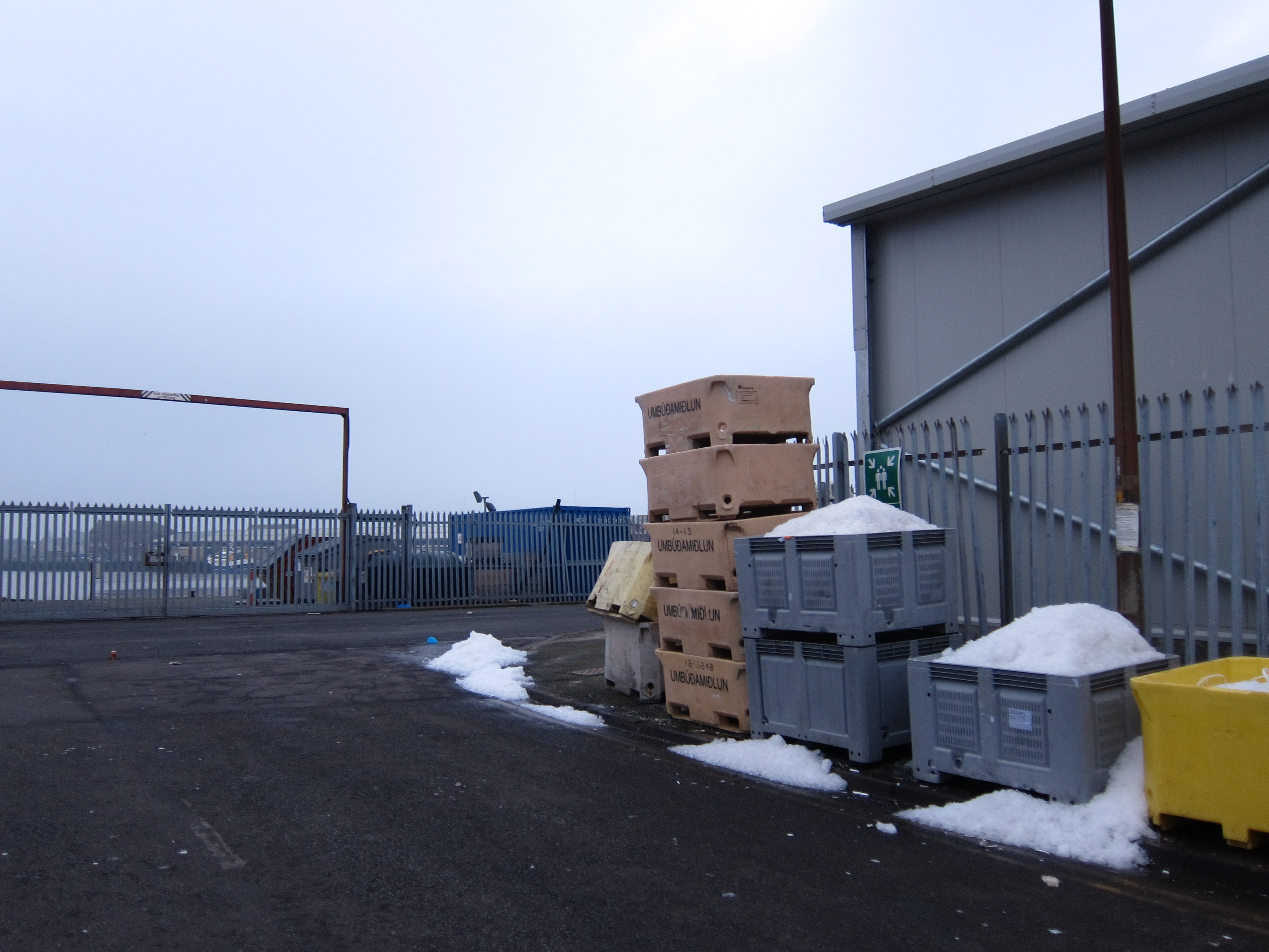 Approaching Grimsby fish dock, the smell improved slightly, to fish, fish, fish. I certainly didn’t fancy having it for dinner. We found our way through the semi-derelict lots back to the main road, accompanied by the sound of roars from the football stadium. We concluded that Grimsby Town had won and, since it was Valentine’s Day, we imagined that the wives and sweethearts of Grimsby would be bracing themselves for a double celebration. The disgruntled Bristol team were being borne away in a coach, accompanied by a police escort.
I leapt on a bus back to Cleethorpes, where I am staying in a very, very functional guest house. Much of the next stretch of coast is inaccessible behind oil refineries and logistics plants so I shall take a bus to beyond Grimsby in the morning.
Day 57 – 13th Feb 2015 – Mablethorpe to Donna Nook
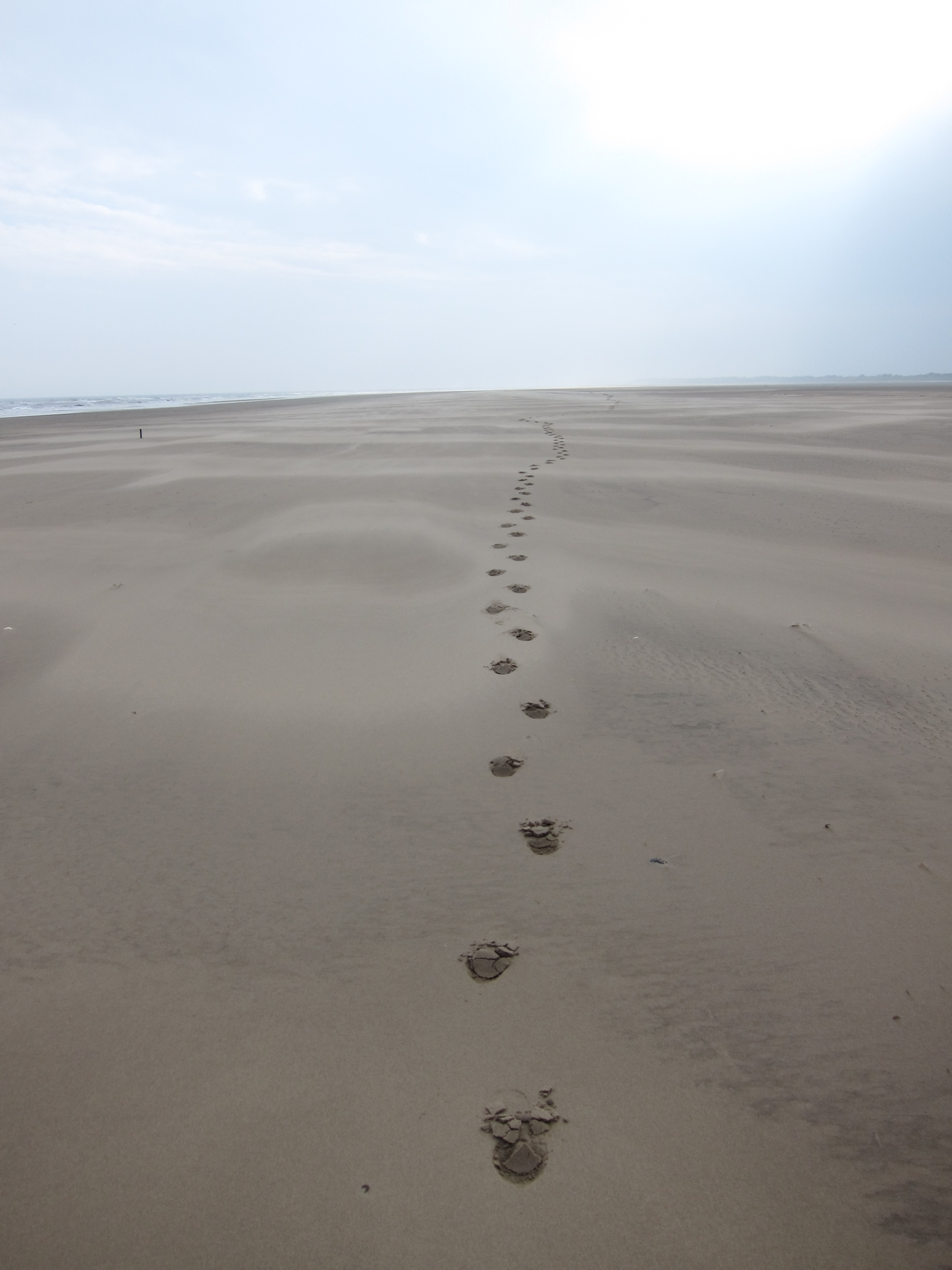
I didn’t know how much I was missing the walk until I saw the sea this morning at Mablethorpe. I had a horribly early start (5am to catch three trains and a bus and had been wondering why I wasn’t tucked up in my nice warm bed) but when I saw the huge expanse of golden sand and heard the sound of the waves I felt a surge of delight. The day was very straightforward, fortunately, as I have lost all my fitness, and am really feeling the 15 miles I have done. The first couple of hours were along the flat, firmly packed sands north of Mablethrope. The weather was hazy, but dry, and eventually the sun came out.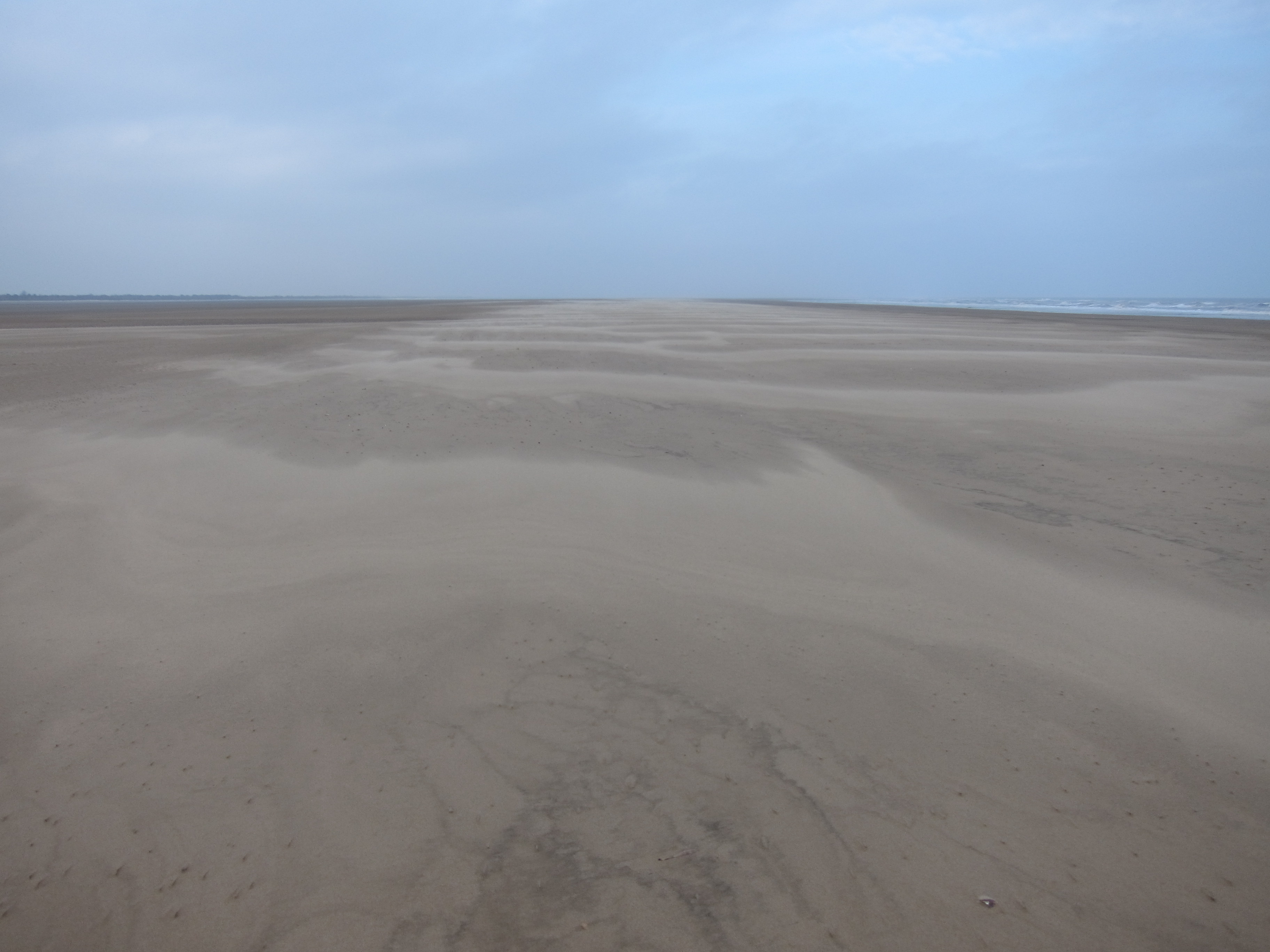 I don’t think I saw more than three people the whole day – it is probably the most remote the walk has been so far. Perhaps the fact that it was a working day in February added to the solitude. Looking behind me, I could see my lone prints in the sand – I felt like Lawrence of Arabia – especially as I was wearing my attractive snood headgear. On checking my map, I saw that I was approaching a red flag zone – I wasn’t sure if it were an MOD driving range or some other danger (quick sand danced across my mind for a fleeting, unpleasant moment). I decided to skirt around the zone by moving inland. At this point there was some salt marsh, but nothing too difficult to cross. There were quite a few birds and I am sure I saw a hen-harrier – I shall have to consult the expert, Tom, when he joins me tomorrow. He’ll probably tell me it was just a gull when he sees the picture.
  The Humber Estuary is designated as one of the top ten locations for estuary life n the whole of Europe. There are many species of both plants and birds here that are endangered elsewhere. I saw quite a few egrets, but they seem positively old hat now. Apparently there are over 100,000 water fowl here in the winter, and there is also a flourishing population of both river and sea lampreys. It turned out that the danger was an MOD firing range, there were threatening signs around and lots of ugly concrete buildings and barbed wire, with no one and nothing to be seen apart from bits of old metal.
 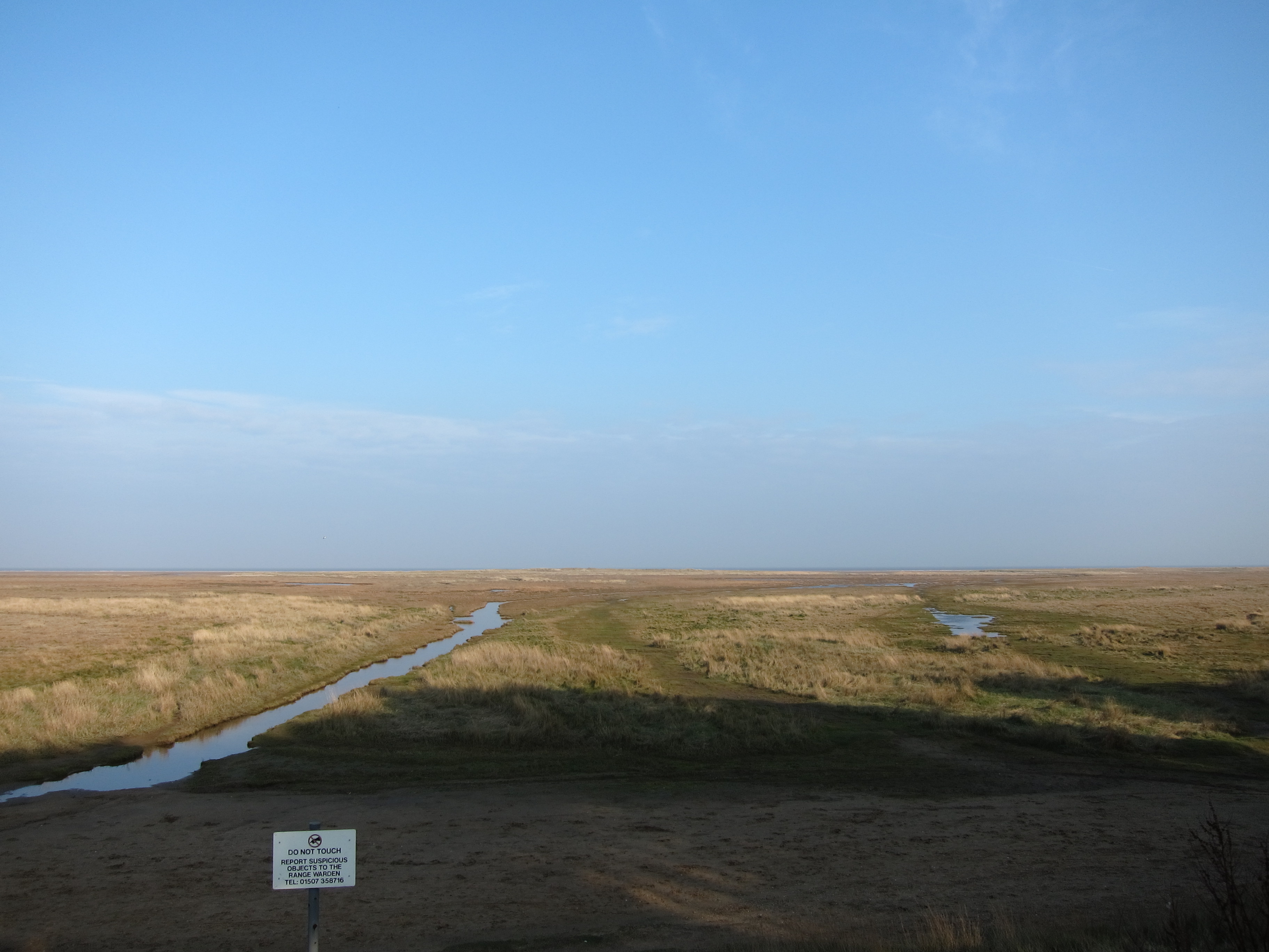 At Donna Nook, I turned inland towards North Somercotes. There was a very dull 2 mile stretch down a flat straight road into the village, and it started to rain, so I was glad to each my very cosy B &B (see review). I am now in the highly recommended pub.
Update – 3rd Feb
I’ve finally organised next walk to start on 13th Feb at Mablethorpe! Looking forward to dusting off the walking boots. I should get over the Humber Bridge and into Yorkshire!

