
I am glad I rested yesterday, as when I woke this morning, the sun was shining, I was full of energy and my knees had nothing to say.
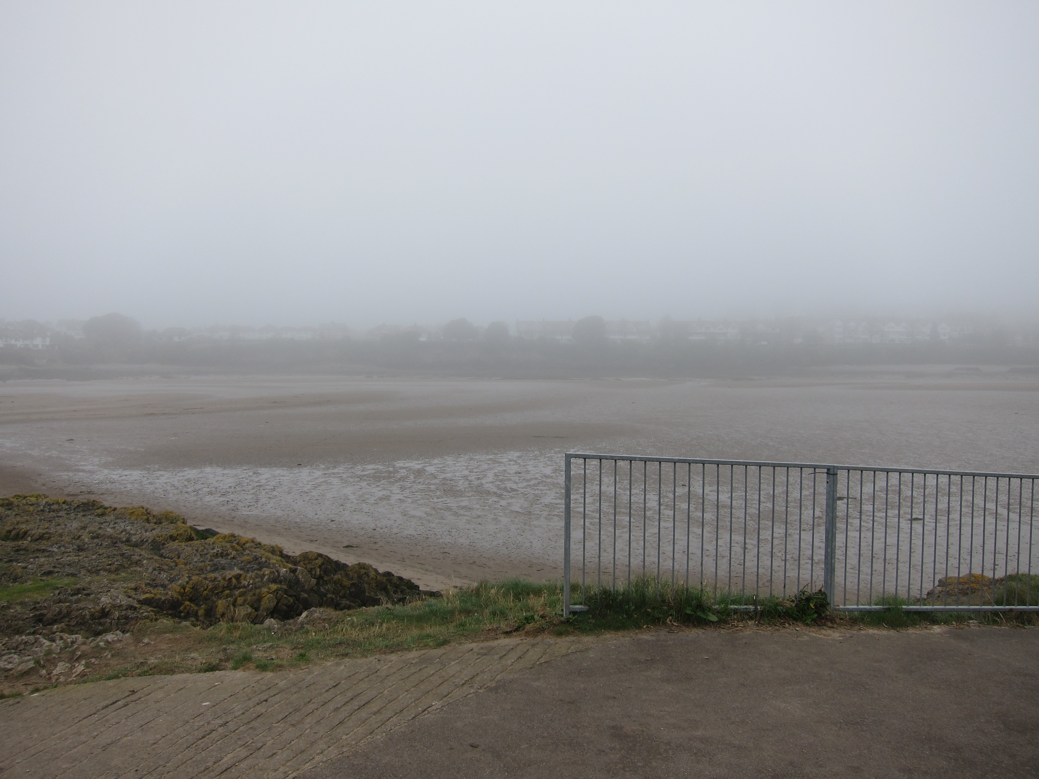
I drove up to Pembroke and waited for the bus – as always, I was ridiculously early, but I sat on a bench and watched the town begin to wake up. The ubiquitous strimmers were out in force. The bus driver recognised me, of course, as he clearly makes it his business to give excellent service. When I got on, I was the only passenger, but we picked up others en route. I jumped off at the roundabout I had finished at on Thursday, with directions to go down a different route to avoid the main route along the road – unfortunately, it led to a field with copious cows, all morning-fresh and clustered around the exit stile, so I back-tracked – it was only a couple of hundred yards. I walked briskly along the tarmac, and soon came to another of the parallel paths that the MoD has arranged to keep walkers off the roads. After about 45 minutes, I could see Freshwater West beach – I am happy to say that my suspicion that Barafundle is not the best beach in Wales was quickly confirmed – Freshwater West is superb – only marred by several camper vans blocking the views.  Everywhere I looked, surfers were shimmying into their gear, and there was a mobile café serving bacon or plaice rolls. I resisted temptation, and just had coffee. The beach was lovely to walk over, smooth reddish-gold sands, then the pathed climbed up. Several people had informed me that the walk from Freshwater West to West Angle Bay was one of the toughest sections, and there were quite a few steep ups and downs, however, nothing like the horrors around Tintagel. Or perhaps my poles are entirely revolutionising my ability to go up and down. I met a twitcher seeking choughs. Apparently, this stretch is well-known for them. So far, I had not seen any, and thought that I might be reduced to touching up the photographs with red, but, about ten minutes later, I did see some.
It was a glorious day – the sea was turquoise, and the rocks are the most amazing colours – orange, red, purple, and folded and twisted into shapes.  One inlet looked like nothing so much as a stick of Toblerone – a row of triangular shaped rocks. The wildflowers continued to delight – no pyramid orchids today, but lots of thrift, and my personal favourite, the foxglove, as well as something that looked like gaura, or possibly a type of white salvia.
I reached West Angle at about 12.45, and bought another coffee to have with my sandwiches, overlooking the beach. To the north, is St Ann’s lighthouse, the other side of Milford Haven.
The village of Angle runs east-west, but the path goes north, and then runs parallel to it, facing into the sound. It is a delightful stretch – hedgerow on one and sea on the other, with a well-trodden path. Lots of people were going back and forth along it, so I don’t know how I came to miss a small turn off and end in a potato field. Since there was a broad path alongside the crop, I assumed I was in the right place. It swung south and I supposed it would take me out by the church at Angle as marked on the map. In fact, it brought me into an overgrown field, which, luckily, had a gate I could clamber over, before sneaking through a couple of back gardens to reach the lane. I had arrived in the middle of the village, rather than the east end. I went into the little church, another one with the vernacular style stone-tower, and a fourteenth century chapel behind, dedicated to sea-farers. I still had 2 hours to kill before the bus, so I found the track and walked back towards where I had gone wrong. I did not quite get there, deciding to turn back when I reached the lifeboat station. I then walked all the way back along the street to the beach, for my only ice-cream of the trip.
The bus came more-or-less on time, and dropped me at Pembroke. Rather than coming straight back, I diverted to see the chapel at St Govan’s, which I could not reach on Tuesday as it is behind the closed section of the artillery range. It is quite extraordinary – a tiny chapel squeezed half-way down an inlet in the cliffs, with the sea pounding below. The legend is that a sixth-century Celtic missionary Govan, going about his business by sea, as the missionaries did in that time, was chased by pirates. He prayed, and an inlet in the rocks was opened that he slipped into, evading pursuit. The current chapel dates at least from the fourteenth century and may be as old as sixth century.
The evening was bright and fine, so I walked toward Bosherton, where I had been obliged to come inland on Thursday, to see more of the marvellous coast. I am sorry to be going home tomorrow – although I think I need to accept that five days in one block needs to be followed by a rest day. In total I have done 85 miles on this leg – about 20 less than I hoped.
A Silver day.

 e down into Gower, and left one car at Port Eynon, before coming back to Caswell Bay. We dropped down on to Pwll du beach – being very critical of the rather ugly 1960s block of flats that over shadows it. Walking to the end of the beach, it was not clear where the path went – either over a heap of rocks at the end or else up onto the road in front of the block.
 family, who was eager to tell us about the giant blue jelly-fish he had found. It was the largest one he had ever seen – it was even the largest one his dad had ever seen! And when we came onto Oxwich beach, we could agree that the jelly-fish are monsters!