Day 10 1st April 2013 – Dover to Lympne

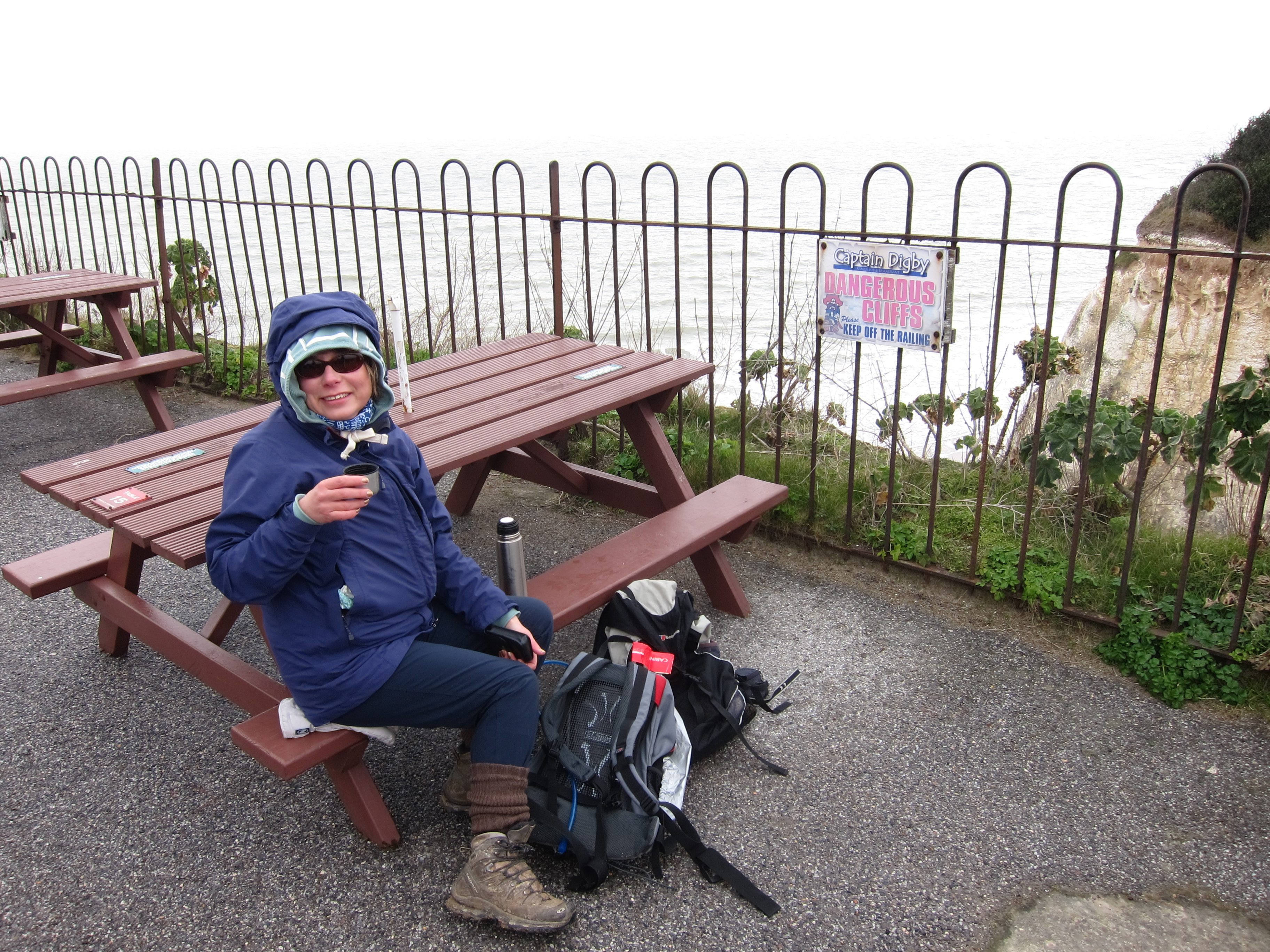
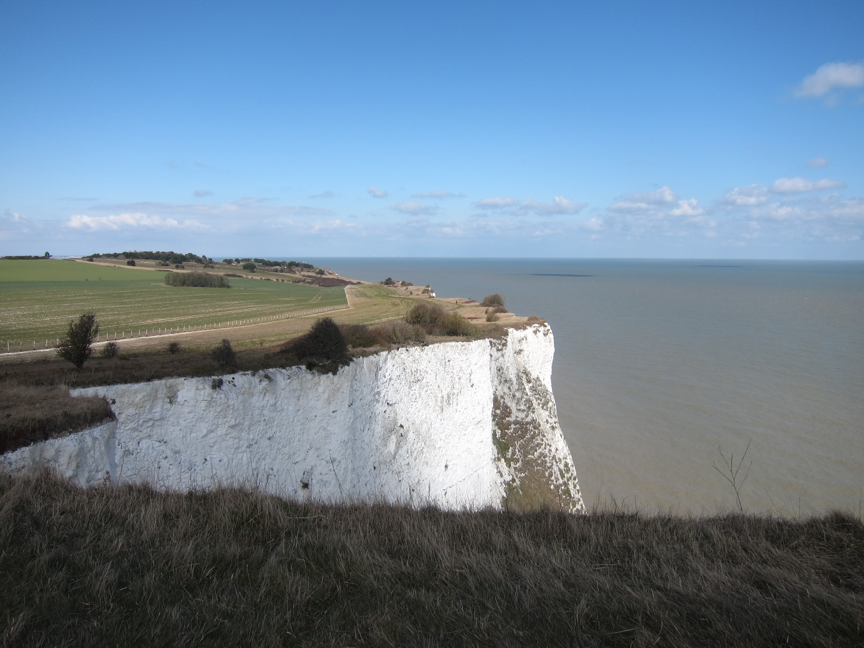
What a day!  We set out latish as we needed to finish a report for work before leaving.  Having eschewed breakfast in Gulag Towers, we managed to find a nice café for a full English before beginning the walk at about 10.50.  Heading out of Dover, there is a climb up an almost vertical stairway to the redoubt on the West side of the town.  Continuing on the Saxon Shore Way, we walked high above the White Cliffs for some 5 miles, with the first up and down hill of the walk.  IMG_3290

After about an hour and a half Folkestone came into view, with the harbour pier visible in the distance.  I decided to take the Saxon Shore Way inland along the top of the escarpment behind Folkestone, rather than to drop down to the port.  I have had enough, for the time being, of road walking along the water’s edge, and the view from the top of the cliffs was excellent.  IMG_3292

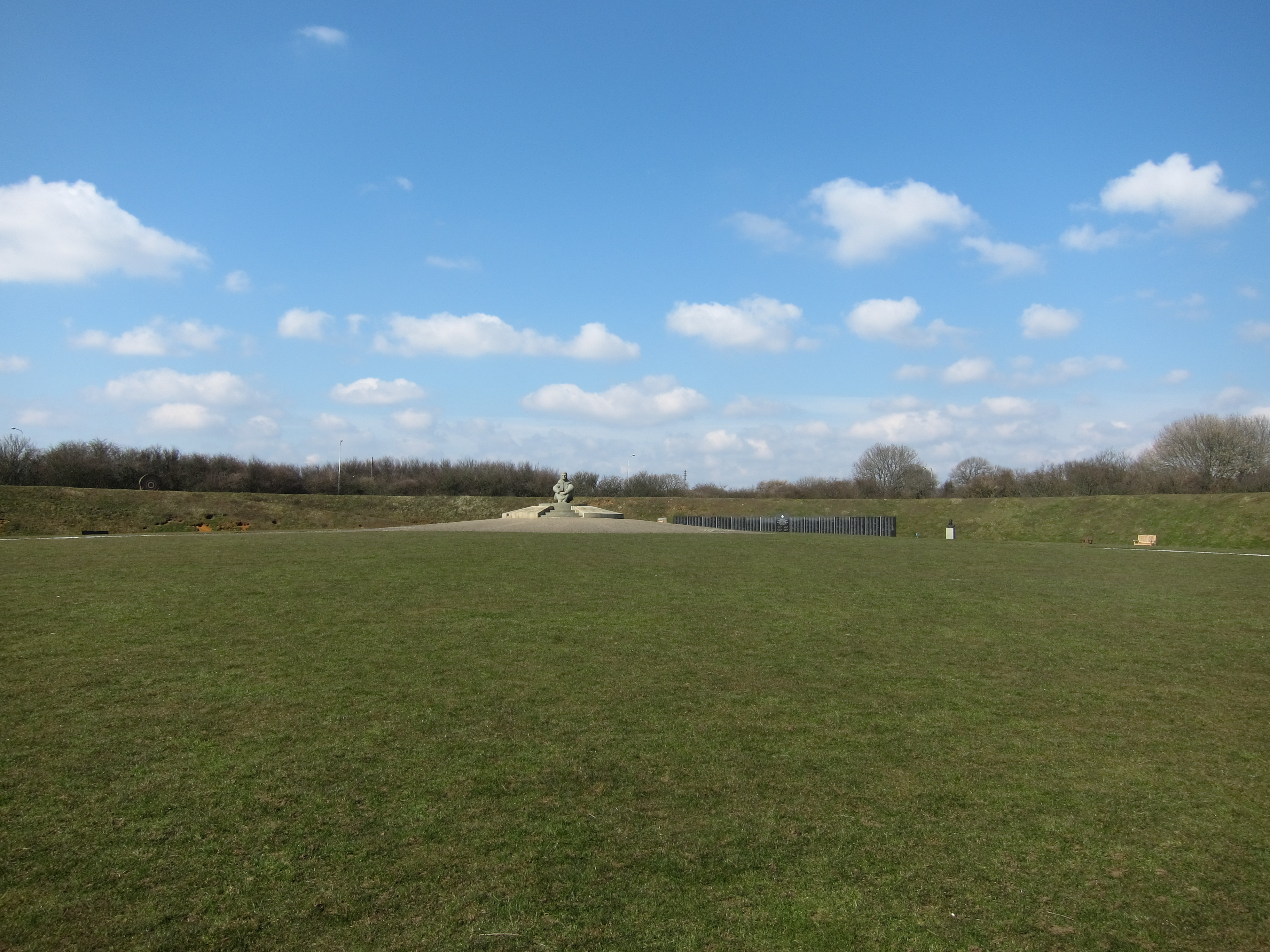
The war memorial to the pilots of the Battle of Britain above Folkestone was both impressive and moving.  It is a simple statue of an airman in the centre of a propeller, formed by coloured bricks, looking out across the Channel.  Behind the statue is the monument to some 3,000 young Allied airmen killed in the period July – October 1940.IMG_3308
Continuing, we crossed the A260 and then climbed up to what appeared to be an Iron Age hill fort, although it is marked on the map as Caesar’s Camp, directly overlooking the Channel Tunnel terminal – a truly remarkable feat of engineering.  Everywhere along this stretch of coast there is evidence of military action and defence, from the astonishingly grand Dover Castle, to the strange sound mirrors and Martello Towers that punctuate the landscape.

We dropped down off the escarpment and under the Channel Tunnel rail lines then over the M20, then headed back towards the coast on the Elan Valley Way.  It was now late afternoon, and very pleasant, although the East wind was still chilly.  We arrived in Hythe at about 5 o’clock and walked along the pleasant, mediaeval high street.  Another of the Cinque Ports, Hythe is full of naval history.  We followed the Royal Military Canal Road out of the town, heading directly west.  IMG_3325Built in the period 1804 – 1809 to ward off the French, the Royal Military Canal is apparently the longest defensive work in the UK, after Hadrian’s Wall and Offa’s Dyke.  You can find out more at http://royalmilitarycanal.com/pages/index.asp Walking along the canal in the evening light was very pretty.  The original plan was to walk to Dymchurch, but, having taken the inland route around Folkestone, that was too far, so we planned to stop at the pub at Botolph’s Bridge.  Unfortunately, arriving there at about 7pm, we discovered that it is closed on Mondays.  Aaahhhh!  Our only alternative was to retrace our steps to West Hythe and then walk a further mile (up a very steep incline in the dusk) to reach Port Lympne, where we fell into the pub (the County Members) desperate for food and wine.
Day 9 31 March 2013 Sandwich to Dover

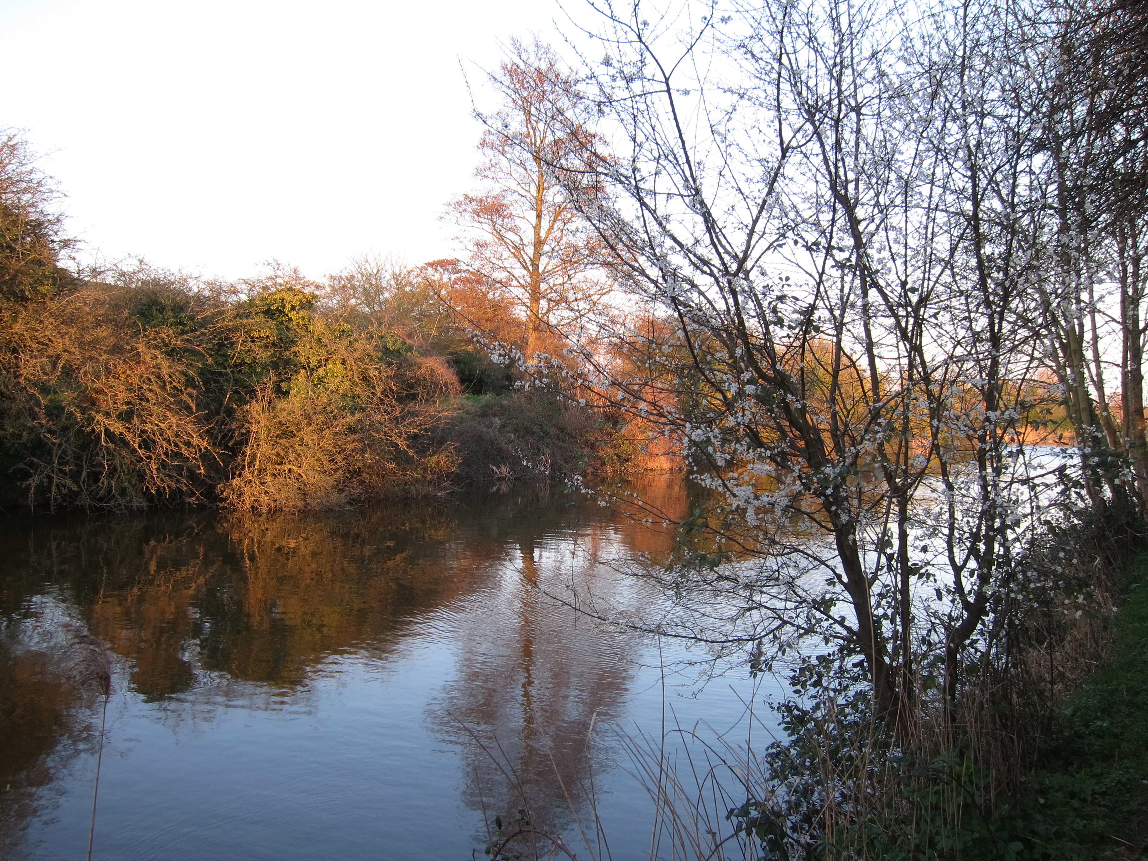
Sandwich is an absolute gem of a town.  I left the car there and picked up the Saxon Shore Way again (having left it at Reculver on Friday.)  The path goes along the old town walls of Sandwich which surround the town in a raised walkway, with the river Stour and its various tributaries running alongside.  The first part of the wall walk is known as the Butts as it is supposed to be where the men of Sandwich practised archery after Church on Sundays.  Allegedly, Henry V’s longbow men sharpened their skills here before departing for Agincourt, via Honfleur (with which town Sandwich is twinned – I am not sure if in an attempt to lighten the memory of the endless English-French wars or as the result of a total lack of historical sensitivity).  More information about the Cinque Ports can be found at http://www.cinqueports.org/

I strolled along, enjoying the bright sunshine and the spring blossom, watching the courting ducks and being amazed at the wide variety of dogs being walked – incidentally, since when have coats become de rigueur for dogs?

After leaving Sandwich, the path goes directly back to the coast, over a golf links.  The sea looked very grey and a harsh east wind sprang up as the sky clouded over.  To my left, I could see Ramsgate, and to the south, Deal.  The path goes straight along the shingle for several miles until Deal is reached.  Not much to say about Deal – another shabby seaside town, whose history is inextricably linked with Nelson and the Napoleonic wars.  Apparently the British fleet was anchored in Deal Downs, and Nelson stayed often in the Royal Hotel (accompanied by his great friends, the Hamiltons!).  The remains of Sandown and Deal Castles punctuate either end of the promenade.  The former now concreted into the retaining wall, the latter still looking pretty intact. IMG_3267

Walmer is a continuation of Deal, but once you are through it, the path climbs up onto the top of the cliffs, and the next 8 miles were an absolute delight.  As I turned South-West, the East wind dropped and I could feel a much warmer South-West wind on my face.  The sun came out and I peeled my neck warmer and gloves off for the first time since the walk began in January.  Down below, I could see the ferries going in and out of Dover, and on the far horizon, the shores of Normandy.

The path drops down to the shore at St Margaret-at-Cliffe, where there was a massive cliff fall last week – you can see the chalk heap in the sea (picture.)  This tiny port is the closest point to France, and is the place where the cross-channel swimmers start their crossing.IMG_3269

Back up onto the cliff top and a lovely stretch to Dover – hundreds of people around enjoying the first Spring sunshine.

I took the 17.03 back to Sandwich to fetch the car, and am now waiting in the (absolutely dire, 1970’s concrete monolith) hotel for Bridget.

Day 8 – 30th March, Margate to Sandwich

I escaped from the Irish landlady after being grilled at length about yesterday’s activities – fortunately, another new guest came into the breakfast room and need to be interrogated about his work, his home, his wife, children and ancestry, allowing me to nip out.

I emerged into a completely grey atmosphere, with a strong east wind blowing a fairly heavy snowfall up and down the promenade.   I walked the mile down to Margate station to meet Rachel, and, happily, by the time we set out at 10.15, the snow had stopped and the sun was beginning to shine.  We walked along the beach front through Margate and Cliftonville, varying between walking on the sands, the elevated promenade, and, occasionally, when the sea came too close, climbing the stairs to the cliff tops.

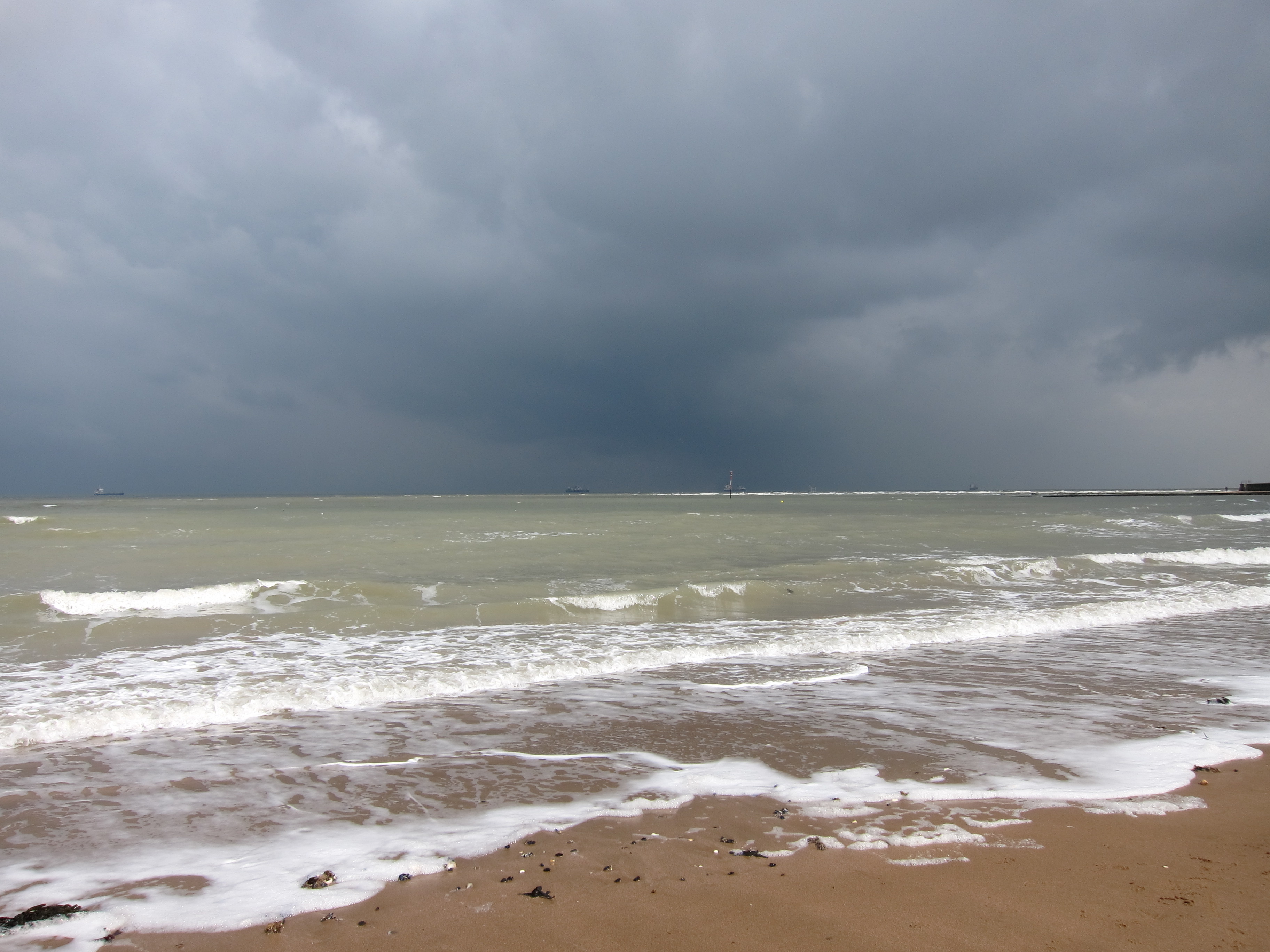
Far out to sea, we could see the North Kent wind farm, and a stream of container ships.  The sky became black and we were battered for about 15 minutes with a vicious wind and stinging hail.  As we passed the north-eastern tip of Kent at Foreness, and turned south to Kingsgate and Foreland, the wind eased.  We stopped for a quick cuppa and handful of nuts in a pub car park in typical British holiday maker faIMG_3216shion.

The cliffs became whiter and higher as we walked on, looking like the classic iconic view of the White Cliffs.  We reached Broadstairs at lunch time and stopped at a pub on the beach (see review) and then continued along the front to Ramsgate.  Definitely classier than Margate, Ramsgate has a largish harbor with a mix of yachts, speed boats and cruisers.  With the sun shining down it was almost tempting to put to sea. IMG_3217 On past the sands at Pegwell Bay, we went, with the sun now shining quite strongly. IMG_3210 The last 2-3 miles into Sandwich were a trudge, beside a road and through an industrial site, but we were rewarded with the lovely Cinque Port town of Sandwich, with its ancient tollgate and superb mediaeval buildings.  We fell into the first pub for an excellent supper (see review) and then got a taxi back to Margate.  The driver was another character.  One of the few women taxi drivers I have met, she drove like a maniac and made my Irish landlady seem quite reticent in asking personal questions.  However she didn’t just ask questions but shared an awful lot of information as well.  I learnt that she knows Tracey Emin, that, very sadly, she was abused as a child and the perpetrator got 2 years in gaol.  She is married to a Muslim who is very moody, and that she would like to travel across America.  Exhausted, I got back to hotel Salubrious at around 8.30.

Day 7 Herne Bay to Margate

Sitting in Hotel Salubrious, after an excellent day.  The hotel is not so bad – clean and with decent sheets, but no pretensions to grandeur.  No appeal to my conscience to reuse my towels: instead there is a sign saying that, for guests staying Saturday to Saturday, towels will be changed on Tuesdays and Thursdays.  For guests staying Monday to Friday, they will be changed on Wednesdays.

The other guests appear to be working men who stay here during the weekend and then return home at weekends.  The elderly Irish lady who appears to be the owner was clearly desperate to know why I am here.  Eventually, she came straight out and asked me, and I then heard her repeating every detail of my walk from yesterday in the kitchens.

I took the train up to Herne Bay and met Beth.  We started walking around 9.30 – right down on the water’s edge, and at Bishsopstone round the base of the cliffs on the beach.  At some points the sea was so rough that we took the cliff path back up to the road lest we be swept away.  In particular, the stretch between Birchington and Westgate was very wild.

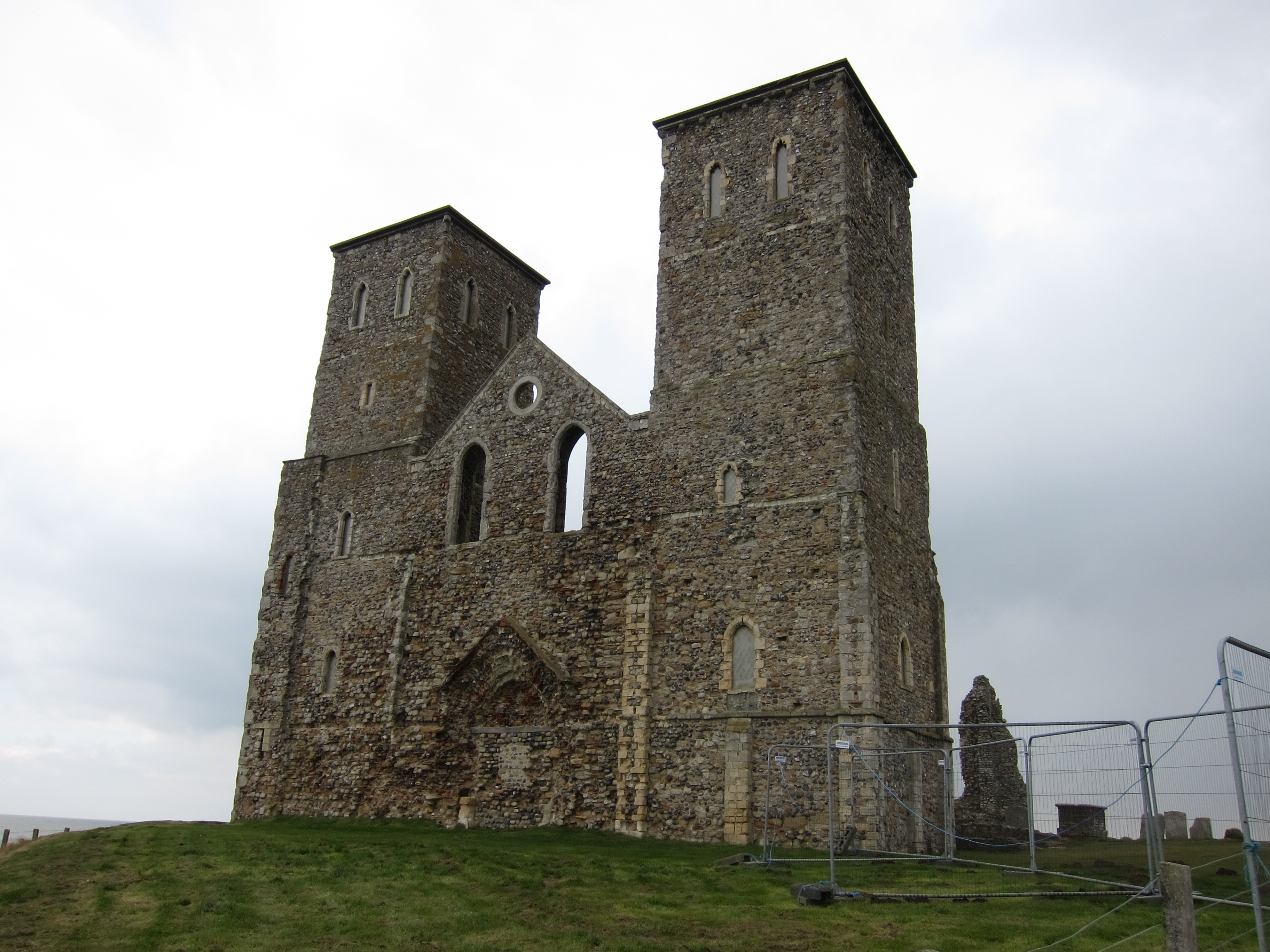
Our first landmark was the ruin of St Mary’s Abbey at Reculver – originally an Anglo-Saxon monastery founded in 669 AD by King Egbert of Kent, constructed on Roman foundation, then extended in the 12th Century.   The Roman walls from the fort of Regulbium were still visible in parts.  The majority of the Abbey was dismantled in the 19th century, but the towers were left as an important navigational landmark, and indeed they were visible in both directions for most of the day.  The Roman walls were covered in a plant they introduced and were fond of eating, known as alexanders, similar to celery with yellow flowers.

At Reculver, the Saxon Shore Way goes inland, and the coast path I am now following is the Thanet Coast Path.  Apparently, at the time of the Romans, Thanet was still a completely separate island, with a channel a mile wide between it and the mainland, nIMG_3184ow the River Stour.  .

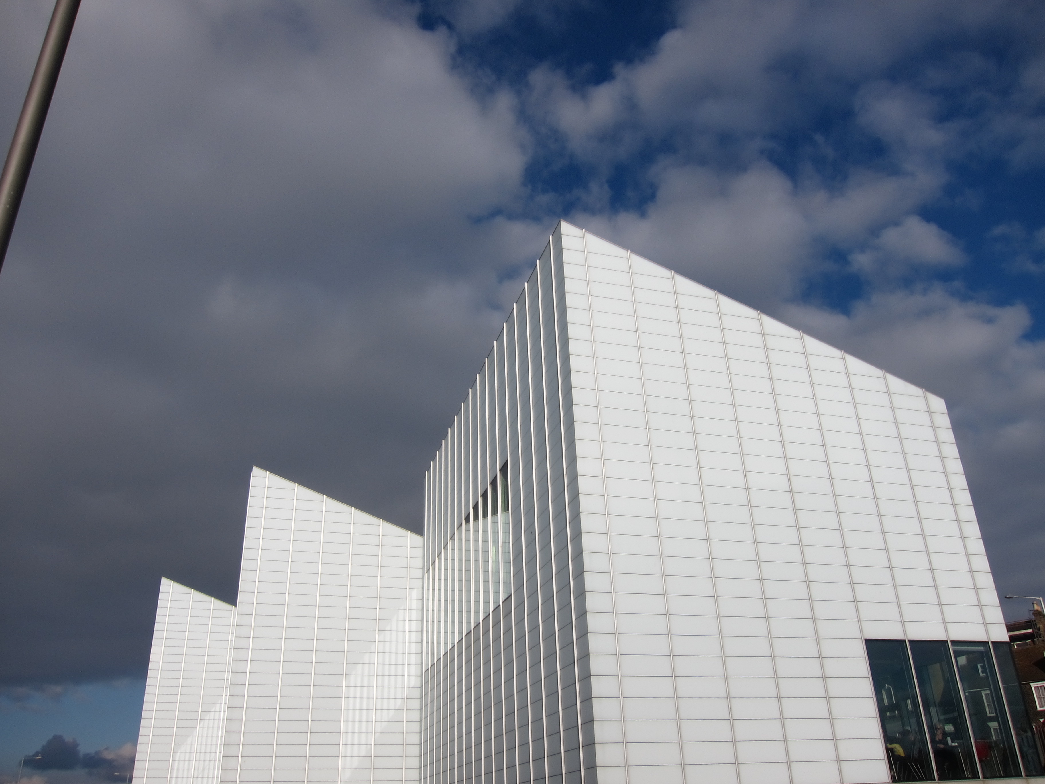
Didn’t see much in the way of wildlife, just one fabulous flock of ducks (or maybe oyster catchers) is the air, wheeling and swooping, presumably looking for a roosting place.  We arrived in Margate, which apparently became popular after the 1753 invention by local glovemaker Benjamin Beale, of the covered bathing machine, at about 2.30 and found an excellent tea shop (see review).  We then had time to visit the Turner Contemporary Gallery – a really interesting piece of architecture with a superb sculpture by Juan Menoz (picture).IMG_3195  As we came out the sun was streaming down onto the sea – hopefully a sign of better things – although the wind is still fierce.IMG_3201

Rachel has texted me that she is joining me tomorrow for the walk to Sandwich.

Day 6 28 March Faversham to Herne Bay

Several firsts today – the first day of an extended walking trip, the first sight of the open sea – previously I have been in the estuaries of the Thames, the Medway and the Swale – and my first 100 miles completed!

Work has been manic so I had a few chores to do before leaving, and what with one thing and another, I didn’t actually set off from Faversham until about 12.15.  It was great driving over the Dartford Crossing – I took a quick glance down (I always have a faint sensation of vertigo on that bridge, as it is very high, with quite flimsy crash barriers, and the curved shape gives the impression almost of flying)  aIMG_3161nd saw the aggregate works that Bridget and I had walked past back in January.  It took a pleasing hour to get from the crossing to my start point!

I saw more of Faversham this time – it is a pretty town, with a number of Tudor houses still standing,, and the traces of the Norman priory’s walls still visible as well as an interesting mix of pleasure boats and Thames barges bobbing on the creek.  Apparently, much of the prosperity of the town (after the dissolution of King Stephen’s 1148 Abbey in 1538) was based the development of the gunpowder industry.  The path then follows the East bank of the Oare Creek, barely a stone’s throw from the walk into the town that Deb and I did a couple of weeks ago.

The weather was fine, but the wind was bitterly cold – the first time I have actually felt cold since I began.  Apparently the temperature was 3 degrees, but the biting East wind made it feel much lower.

As I walked on towards Whitstable, the Isle of Sheppey receded, and I was faced at last with the open sea.  Whitstable is very attractive – with more oyster vending establishments than I had imagined possible.  Unfortunately, I don’t like oysters, so did not sample any.

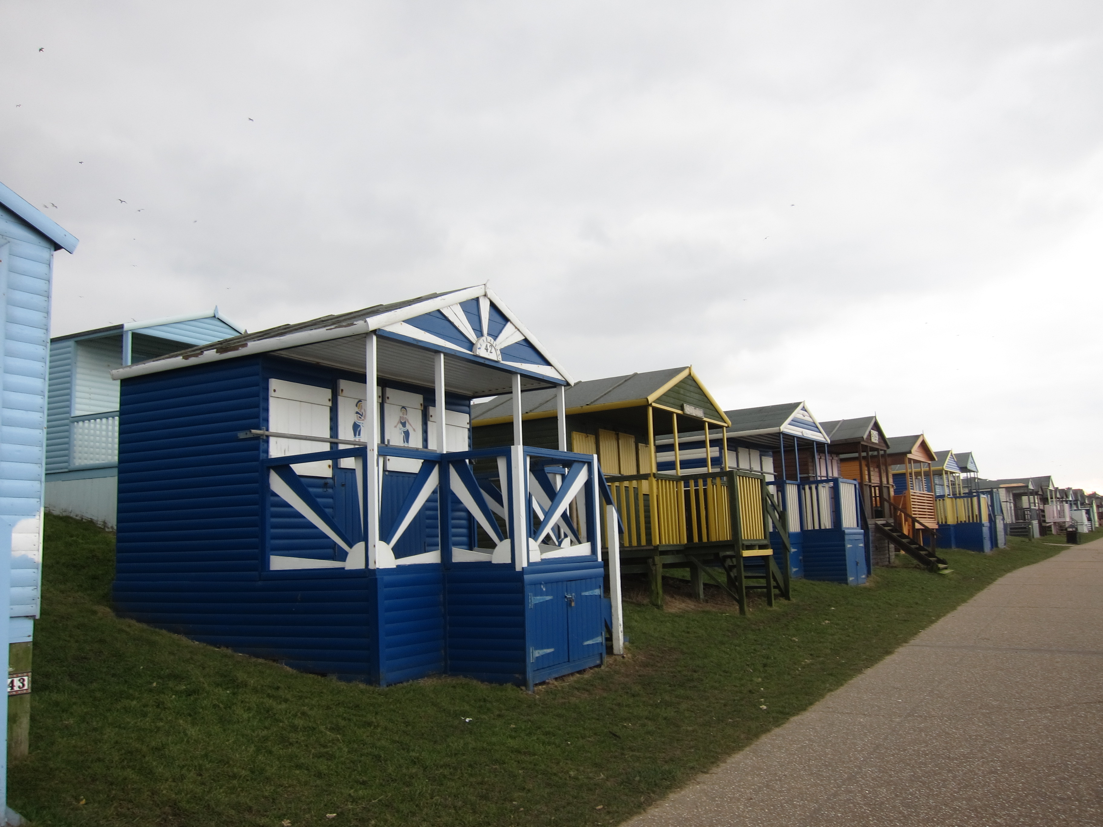
The path clings to the coast all the way.  On the inland side, there are rows and rows of beach huts, all the way from Seasalter, through Whitstable to Herne Bay.  Very little sign of them being in use yet, this year!   It was fun to read the names – everything from Dunroamin to the Tardis House, via Jabba! Far in the distance, out to sea, is a huge wind farm.  I know they are not to everyone’s taste, but I rather like them.IMG_3173IMG_3174

I reached the station at Herne Bay around 6.15pm, and took the train back up to Faversham, driving to arrive at my extremely stylish (not – unless you like receptionists who are top to toe tattoos with a phantom fag hanging from the bottom lip) around 7.45.  I ate in a local Indian restaurant, and was delighted to find a Welsh speaking ethnically Indian waiter from Swansea.

Day 5 – 17 March 2013 – Sittingbourne to Faversham

IMG_3148IMG_3128  We had a great day on Sunday! Deb was breaking in some new boots – before and after shots below.  For those of you familiar with her tendency to IMG_3159IMG_3156IMG_3152blisters, the new boots seemed to be pretty good – only three compeeds by the end of the day.

IMG_3144

The outskirts of Sittingbourne are not remarkable, but we were soon out of the industrial zone, and back on the badly waymarked Saxon Shore Way.  We passed a property that had the air of a footballer’s retirement home – complete with silver cups in the window, trophy wife jumping into Range Rover and exceptionally noisy Dobermans, but set in the middle of what seemed to be a scrap yard.  Perhaps he had gone up in the world from Gravesend….

The path hugged the shore all the way, but began to seem much more rural.  Saw the first lambs on the route, and a very neat cherry orchard.   We stopped for lunch in Conyer (see pub review.)  Conyer is an attractive harbour a long way inland on the Swale Estuary, with quite a few yachts and houseboats lined up.  The tide must be extreme as most of them were beached when we arrived – passing another National Cycle Way marker, showing Dover now only 45 miles away (and Inverness 1,151  miles!)  I am glad that RBS is spending its (our?) money on the National Cycle Way – almost as glad as I am that it spends our money sponsoring the Six Nations Rugby.  Incidentally, did you see the fabulous Welsh victory?  Tee hee!

Back to the walk….

Arriving in Conyer, it was raining lightly, and it poured whilst we were lunching, however the rest of the day we were very lucky with dull but dry conditions, and the odd shaft of sunlight in the late afternoon.  It was shining delightfully on Whitstable, (which I assured Deb was Faversham, much to her horror – “Isn’t that rather far away?” she asked.  “No, no, only 5 miles.  The light is deceptive.”)  In reality, she was quite right – Whitstable is another 15 miles along the coast.

As we walked down the Oare Creek, we passed a field of what appeared to be Highland Shorthorn cattle – like the ponies of Gravesend, they must be used to wet feet, as some of them were up to their stomachs in water.

Finding the station in Faversham was a bit tricky.  We made several wrong turns – all my fault, as Deb has an exceptionally good sense of direction and I definitely haven’t.  We made the train by a few minutes.

Next updates will be from the Easter trip, which will take me to Littlehaven.

Day 4 – 10 March 2013 – Gillingham to Sittingbourne

It was good to be back on the trail again – not that I have been neglecting my walking boots!  Since my last Coast Walk jaunt, I have done a couple of days on the Wessex Ridgeway with Vicki and Jon, and a week in the Sahara desert, trekking with camels where I made some lovely new friends who are going to sign up for bits of the coast walk.

It is fair to say that the North Kent coast is very different from the Sahara….

I set out from Gillingham at 11.15am about an hour later than intended, owing to “overrunning engineering work” on First Capital Connect.  However, with the evenings getting longer it did not matter too much.  I started at Gillingham rather than going back to Strood, as the latter is quite far inland down the Medway Estuary and Gillingham is the nearest point back on the main Medway coast.  I have decided that it is quite within the spirit of the enterprise to stick to the coast and not go in and out of all of the creeks, rivers and estuaries.

I am still on the Saxon Shore Way, which here hugs the modern coast.  Although still on the River Medway, the strong winds and lie of the land made it seem far more like open sea.  It was pretty rough that day, and the water was coming up onto the bank.

The Saxon Shore Way is very poorly waymarked, so I spent a good deal of time with my map wrapping itself round my ears as I tried to determine the route.  In particular, on the Iwade peninsula, the map shows rights of way, but on the ground there are extremely stern signs forbidding entry to areas of bird nesting.   Much of the walk is on a raised bank at the water’s edge with marshland to the inland side.  I saw a few more interesting birds this time – but nothing especially unusual: Canada geese, some rather nice mallards and a few ducks of the Jemima variety.

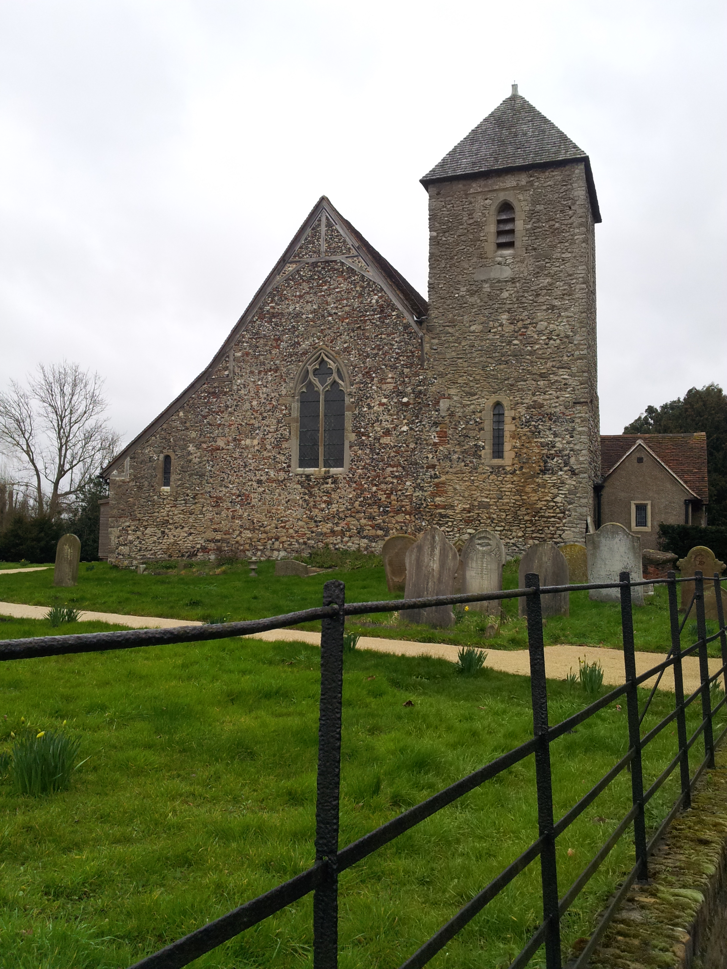
It was a day of fairly easy walking – pleasanter than the last stretch, although still pretty bleak, and with the sight of some Kentish Apple Orchards to lift the spirits – no blossom yet, but buds coming through.  The Sheppey Crossing was a landmark for a fair part of the way – readers of that classic novel “Katherine” will remember that the eponymous heroine spent her childhood in the convent on the Isle of Sheppey,  however, I was not tempted to cross to it.  One of the highlights of the day was the little church of St Margaret of Antioch right on the banks of the Medway.  One of the oldest continuously used churches in England – see more here http://www.flickr.com/photos/22124479@N03/5064776997/  203

I arrived in Sittingbourne just in time to see the train I had hoped to catch depart – but I had a stash of chocolate and pistachio nuts left, so didn’t mind too much.

I am delighted to say that my friend Deborah is joining me on Sunday 17th for the leg to Faversham, and that I will be accompanied over most of Easter.  Beth will be contrasting the Sahara with Kent on the Herne Bay to Margate stretch, then that stalwart Bridget will join me at Dover, with Chris and Rita coming along from Eastbourne.

The link below goes to a map to give an idea  of progress to date, from the “n” of London on the far left, to Sittingbourne on the right.

Map overview 1

Day 3 – 3 Feb 2013 – Gravesend to Strood

IMG_2867 IMG_2885 Not sure that I want to see the rest of the 6 Nations after the miserable results of Saturday….

I returned to Gravesend, travelling on High Speed 1 which is unbelievably fast – 23 minutes from St Pancras, arriving at 9.48am.  I nipped into the loo opposite the station and my chat with the nice lady cleaning it was probably the high point of the day.  There is practically nothing I can say about the whole area of Gravesend, the Hoo Peninsula and the Isle of Grain that would not attract a libel suit.   Of all the walks I have ever done in England, Wales or Scotland, this was probably the dreariest, ugliest and most littered.   Presumably it looked very different to the Saxons when they arrived, otherwise I am pretty sure they would have turned their longboats around and sailed straight back again!

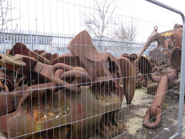
The Saxon Shore Way begins at the statue of Pocahontas and travels along the river front, past the town pier (the oldest iron pier in existence, apparently).  On the opposite bank, Tilbury docks loom large.  The path winds its way through an industrial estate – concrete on one side and metal railings on the other, with weeds, bits of broken iron and rubbish everywhere.  There is even a yard full of rusting anchors.  Leaving the town, it continues along a sea embankment, with marsh to the inland, and, beyond a further embankment, the sound of trail bikes a constant hum. IMG_2882 There are herds of shaggy ponies everywhere, grazing amongst the broken supermarket trollies and old milk containers.  I suppose they are specially adapted to the marsh grass and the boggy ground, otherwise they must be martyrs to foot rot.  As you approach the Cliffe Pools Nature Reserve, the path is shown as crossing a narrow tongue of land, then splitting so that the modern coastline can be followed, or the earlier Saxon line.  My plan had been to follow the modern coast, but it was impossible to cross where the map indicated, either because the marsh constantly moves or because of the tides.  I followed an alternative path, meaning to take a detour via the attractive gravel works, but, after casting about for quarter of an hour in mud that almost sucked my boots off, I hit another dead end with a fast flowing stream.  I contemplated taking my boots off and wading through, but not knowing if it was ankle, knee or neck deep decided on discretion.

IMG_2877

I returned to the lovely gravel pits, and walked around the back, joining the Saxon Shore Way on the other side of the Nature Reserve – flocks of Twitchers everywhere, although the only birds I saw were seagulls.   At this point, I could have struck back to the modern coast, but considering the time, the general bleakness of the scene and the fact that I could occasionally see the coast through the scrub, I decided to stick with the Saxon Shore Way, travelling through Cliffe and Cooling, thinking to myself that Boris is absolutely right to want to put an airport here.  It would improve the scenery no end.  The Saxon Shore Way is not always well signposted, and I was rescued from a grim car park in Cliffe by a kind lady who approached me and told me the way.  She then immediately asked if I were concerned about preserving the area and directed me to the “No to the Estuary Airport” Facebook and Twitter page.  I did not want to hurt her feelings, so said I would give it some thought.  Which I have – bring it on!

The next excitement was a young man with a gun.  A very large gun – not a broken shot gun over his arm but a huge thing with sights, looking like something from a bad action movie:  he was holding it across his chest, his dog yapping at his heels.  “Alright?” He asked.  “Great, thanks,” I replied, smiling winsomely at the dog, but since I was covered in mud from earlier bog trotting, and was wearing my particularly attractive snood to keep the sharp wind off, I am not sure I appeared too fetching.  It gave a low growl as I scuttled past (dog, not man – although maybe it was both of them)

Reaching the shores of Medway, the path continued to be littered with debris – probably  not cleaned up since the Dutch Fleet sailed up the river to attack the British Navy in the 1670s.  At one point it is necessary to walk on the shingle – after passing a sign saying it is liable to flooding and to check the tides.  Bit late at that point!  Upnor Castle and Village were almost attractive, but I was so jaundiced by this point that I couldn’t really appreciate them.  I crawled into Strood station, glad to escape the Mud of Kent (or is it the Kentish Mud?) having a felt a muscle pull about twenty minutes before the end.

Date change

IMG_2790I originally set the dates for the spring walks without checking the 6 nations fixtures. What a daft thing to overlook!  I have also investigated the next section in a bit more detail and think it will take longer than originally planned, as the route I want to take is along the current coastline, rather than the Saxon Shore Way, which runs quite far inland on the Gravesend to Rochester stretch.  I am therefore going to walk tomorrow (3rd Feb), as not too bothered about watching the Italy v. France game, then on 10th & 17th March.  Details on Route Plan page.

Here’s another picture from last week, of Deptford Church.

Day 2 – 27th January 2013 – Belvedere to Gravesend

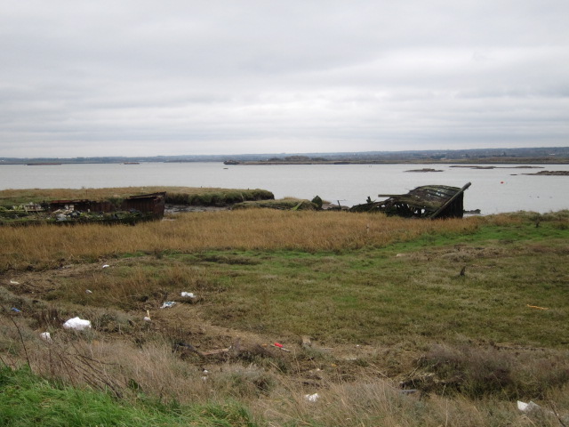
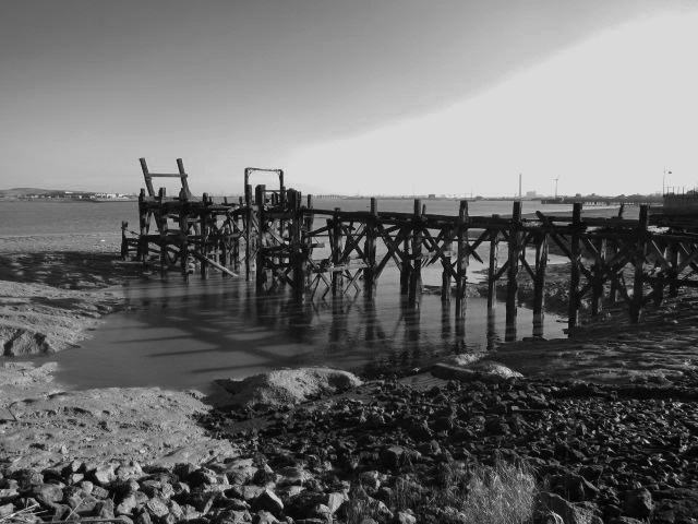
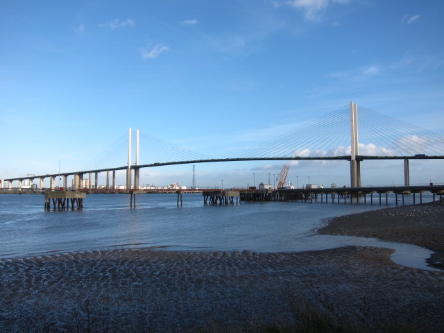
IMG_2824 - CopyWe picked up the path at Belvedere again, walking for a mile on the Green Chain Walk back to the coast at Erith Marshes.  We walked several miles with mud flats to our left and new housing to our right.  In the distance we could see the Queen Elizabeth Bridge crossing the river at Dartford.  It is an absolutely enormous structure and dominated the skyline.  Despite the forecast, it was another wonderful, blue day.  As we marched on we saw a number of derelict piers and old shipping lying on the shore – very picturesque, but sad.  The coast line has changed significantly over the years, with new salt marsh gradually growing – we walked along a great spur of this, turning back in past the ruins of a moated castle originally built by William the Conqueror’s brother, Odo, Earl of Kent, to guard the estuary and lived in until 1935.

Unfortunately, the map appeared to show a crossing at the mouth of the River Darent – the border between London and Kent, but actually, the feature was a massive tidal barrier which IMG_2838could not be crossed.  We had to make a huge detour in land and then pick up the path an hour and a half later, 20 yards away on the opposite side of the river.  This rather ate into the day’s progress.  We continued along the coast, less to see now, as the north side became more countrified, and the south still with random heavy industrial sites.  We approached the QE2 bridge around 3.15 and walked right under it, admiring the incredible beauty and the huge engineering feat it represents.  The path stops not far away at Greenhithe, and does not reach the coast again until Gravesend, but winds through industrial estates. We finished at Gravesend by the statue of Pocahontas, then adjourned to the pub – another great day.