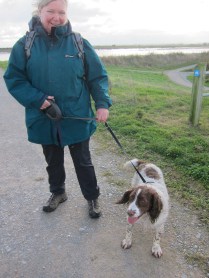
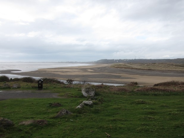
Sunday having fairly limited public transport options, Jane and I had to be at Ogmore to catch the single bus that would take us back to St Donat’s. With my usual need to be everywhere early, we had a good half hour to wait at a place where no bus stop is actually signposted, but where a local farmer assured us it did stop – usually.
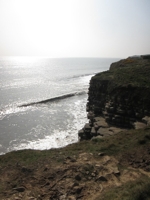
After about 15 minutes, a car stopped and we were given a lift a few miles into Ogmore-by-Sea where there was at least an official bus-stop and a lady standing by it looking expectant. Local knowledge proved correct, and the bus did turn up, carrying us through the tiny lanes to the point where I finished yesterday by 12pm. The forecast was not good, and it rained off and on, although not heavily, most of the day. Ther e was the odd burst of sunshine over the sea, which sparkled silver. The path dropped down to the sea, and up again to the cliffs from time to time.
The mud was knee-deep, and it didn’t take long for me to slip – sitting down hard in a bramble patch. The rest of the day, I trailed mud everywhere.
After about an hour, we passed the lighthouse at Nash Point, and shortly after came to the Nash Point carpark café where I had an excellent bacon roll, and Jane had Victoria sandwich – highly recommended spot!
By and large, the walk was flat, with one or two steep drops down – the greasy ground made it hard going downhill, and my knee is now giving gyp. I hope it will be better tomorrow – if it is not, I shan’t walk.
For the first time more-or-less, since crossing the Severn, the Devon shore was occasionally visible – I could pick out the notch which is Porlock and I think at one point, I could spot Minehead. The coast is beautiful – very steep, vertical cliffs, with visible horizontal sediment structure in the land. This ability to see the history of the coast’s development make it a Site of Special Scientific Interest (SSSI), known as the Monknash Coast. It is quite unstable, and in many places the land has clearly sheered away suddenly – fence posts hanging over the sea.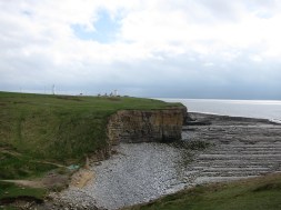
One of the prettiest parts of the path was the wooded valley on the approach to Dunraven Castle – sessile oaks, with an understory of bluebells – only a few were in bloom, but it will be a delight in a couple of weeks. There was sweet woodruff and ramsons, too, that Jane picked. 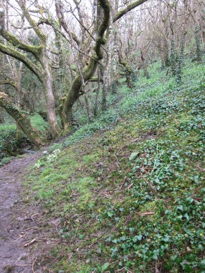 We passed the foundations of Dunraven Castle, built in the 12th century on an old iron-age fort. It was raining quite hard at that point, which continued for about twenty minutes as we came to Aberogwr and turned up the river-valley. The views from the houses which overlook the estuary must be fabulous, when the sun shines.
As we walked up the river valley back to Ogmore, the sun came out, even though it was still raining, and we saw a lovely rainbow. An average supper (although the service was very pleasant) in a pub and then a drive back to Bristol in absolutely torrential rain. Jane pointed out that it would stop as soon as we crossed the bridge into England, and, aggravatingly, she was right.
Another silver day, with 9.5 miles covered.



 rday didn’t agree with me, so I had to make numerous diversions to find loos.




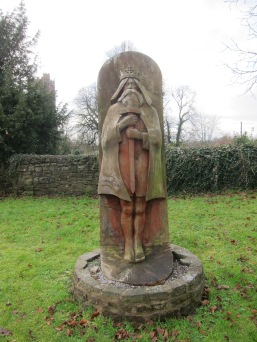 him showed him crowned, but unshod. An early example of ‘all fur coat and no knickers’, I suppose.
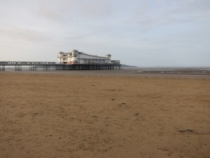
 disappeared some 150 years ago, there is a track through a rather pleasant stand of trees. After a mile or so, it drops down onto the beach at Sandy Bay. Another walk along the sands for a good couple of miles and I was eating up the planned 18 miles.
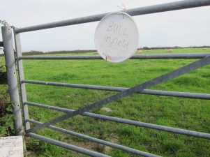 This was hard to believe. Even the most cantankerous farmer wouldn’t keep a bull on a bridleway. I looked around and the field appeared to contain only sheep. Some very poor signposting later, I emerged onto a track. This decanted directly into a farm yard, with a padlocked gate at one end and more scrap than Steptoe and Son’s yard. I could see another track, so, thinking that must be the exit I followed it through piles of rusting junk. Another locked gate. Up and over.
 glad I had not given up. The walk was pleasant and easy, with the sound of the sea in my ears. I made excellent time, and was quite surprised when I came to the end of the path considerably earlier than expected. As usual, there were no way markers. I walked up the road, and found myself in one of those housing estates that are like a maze. I asked the way to the main road. The man looked surprised when I mentioned my destination, but directed me. When I got to the junction, it looked nothing like the map – no wonder I was surprised at my speed. I had not come nearly as far as I thought. I had at least 2 miles to do on the road. Thoroughly annoyed by now, I snagged another bus, and got to the meeting point with just enough time to buy food for the train.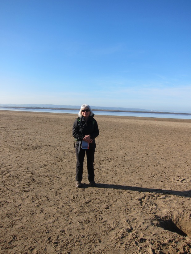
 adful service) to meet Jane at the Pavilion on the waterfront at 9.30. We had a dismal breakfast there – grease on toast – but that was the lowest point of the day.
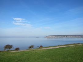 All the way back to West Quantoxhead, hazy in the distance, and the long flat expanse of Brean sands to the south, then the delightful villas of Weston to the north. The Down is the last outcrop of the Mendip Hills which we could see rolling away east. We descended and had a quick cream tea in the NT café at the bottom.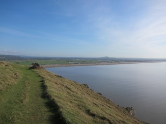
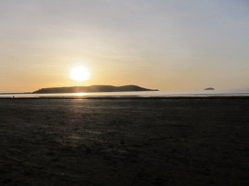 each and a long walk up to the middle of Weston-super-Mare, admiring the Holm islands (Steep and Flat) and Brean Down behind us.
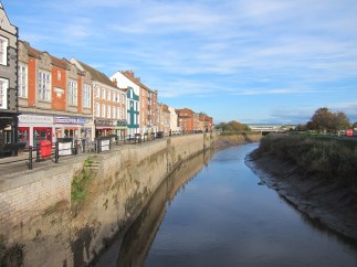
 It then winds backwards and forwards along the riverbank. Some interesting information about Bridgwater was on the various interpretation boards. Most of the towns in the area were once navigable by river to trading craft, and Bridgwater itself had a big export market for its bricks and tiles. There was once a castle here and there are some handsome early eighteenth century houses.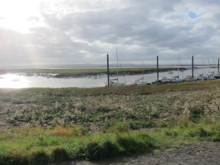
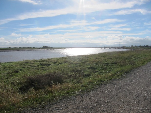
 meeting with my friend Vicki and her dog, Bracken, at Combwich, to make up for it at lunch. To get back onto the coast, I had to go cross country. It was deeply uninspiring. Quite a long stretch was thought the fields of one of those farmers who clearly don’t want walkers on their land, but won’t actually break the law by closing paths: signs obscured with carefully untrimmed brambles; broken stiles and gates are tied shut with binder twine with tight knots. This resulted in a few tedious backtracks as I got stranded on the wrong side of the dykes that separate the fields.
 The weather was very different from yesterday. A cold wind, and overcast. I reached the path around 8.45 and followed it along tracks and ridges to Steart point. The last 1.5 miles out to the point is very dull indeed. The high rushes on both sides made it impossible to sea the sea, and the path was made of large shingle – clearly not designed by any one who actually does long distance walking. 5 minutes in shingle n the beach is ok, but over a longer stretch it is painful and slow.